/H20T (1)-min.png)
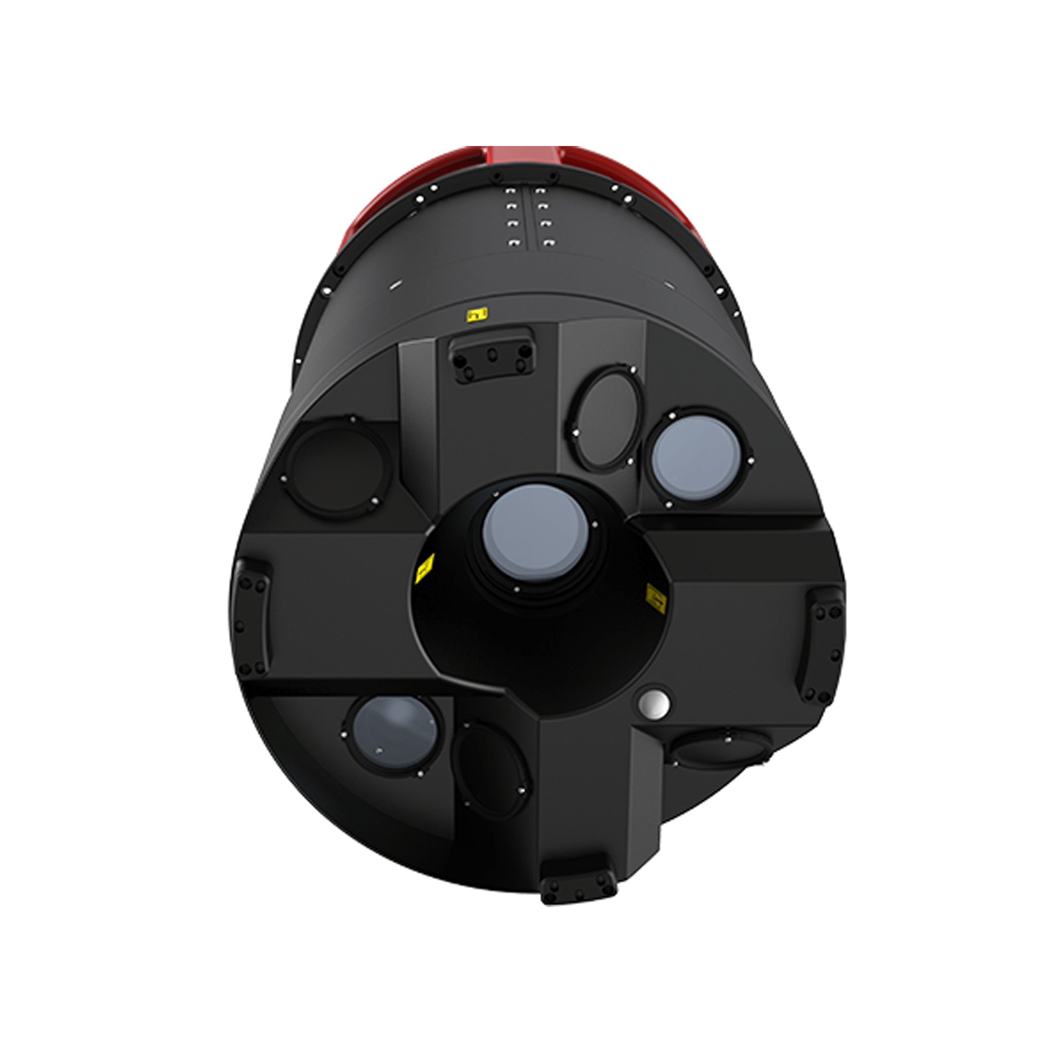
Quad Sensor Solution combines the power of a wide & zoom camera...
For fast and efficient digitization of cities, this hybrid oblique...
The new airborne mapping solution for efficient large scale geospat...
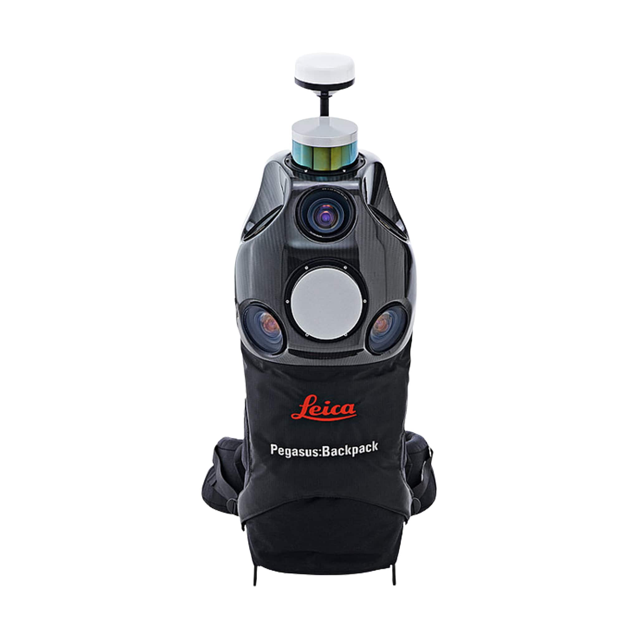
Versatile and wearable platform for indoor & outdoor reality ca...
Bring Images And Data To Life
.png)
Plan. Capture. Deliver.
-min.png)
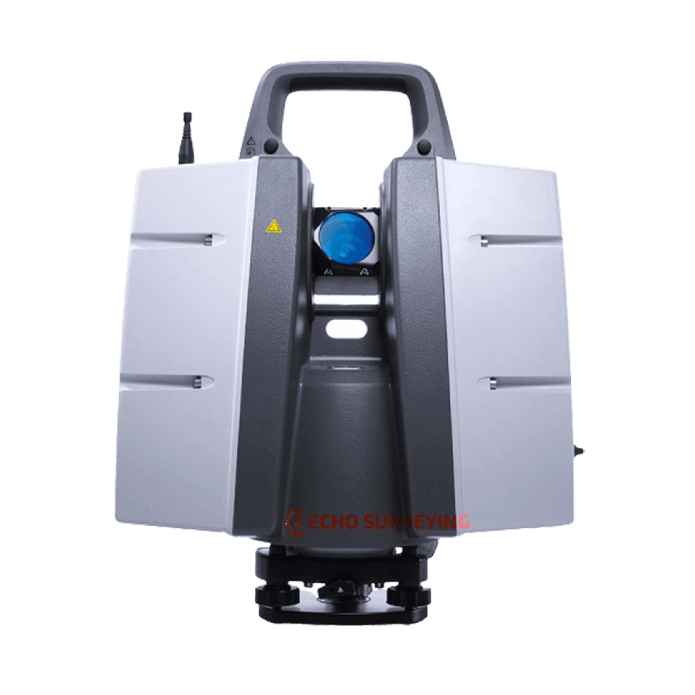
World’s most accurate Total Station
-min.png)
Highly precise levelling measurements
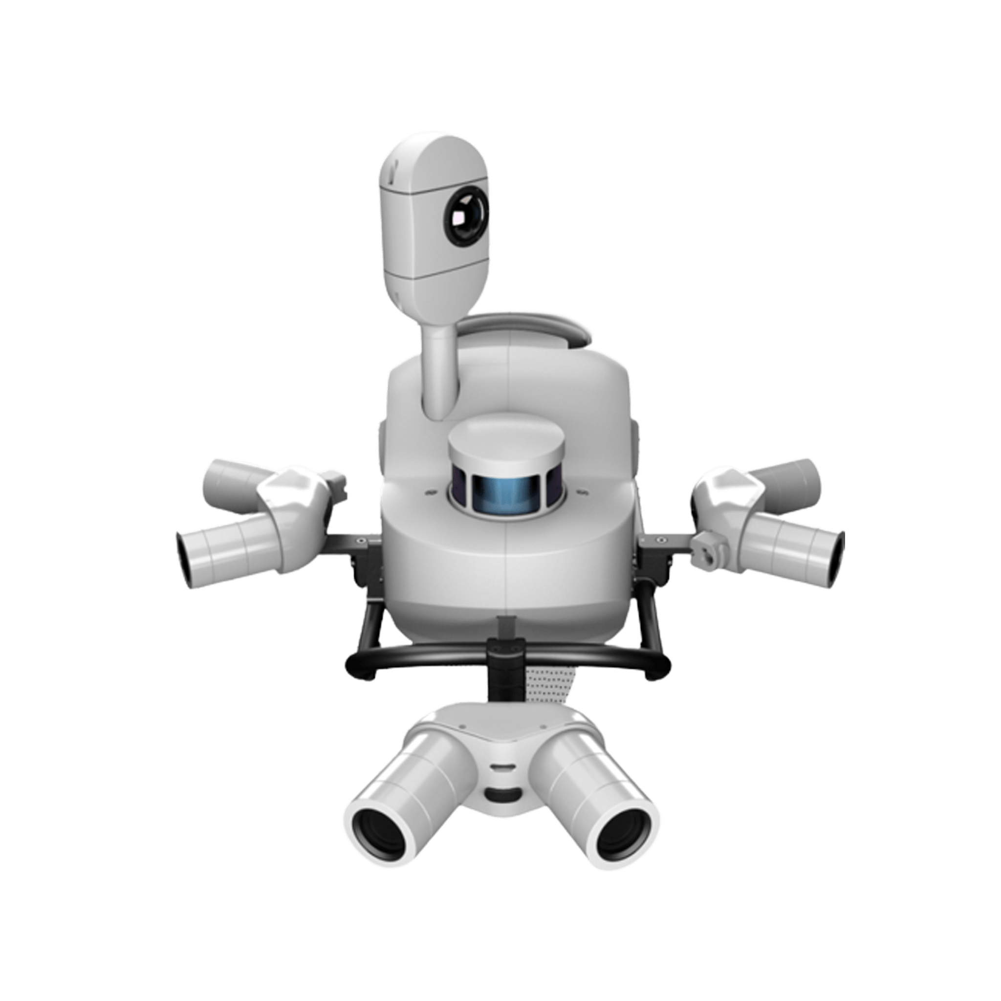
Maximise productivity by scanning inaccessible places at a safe pos...
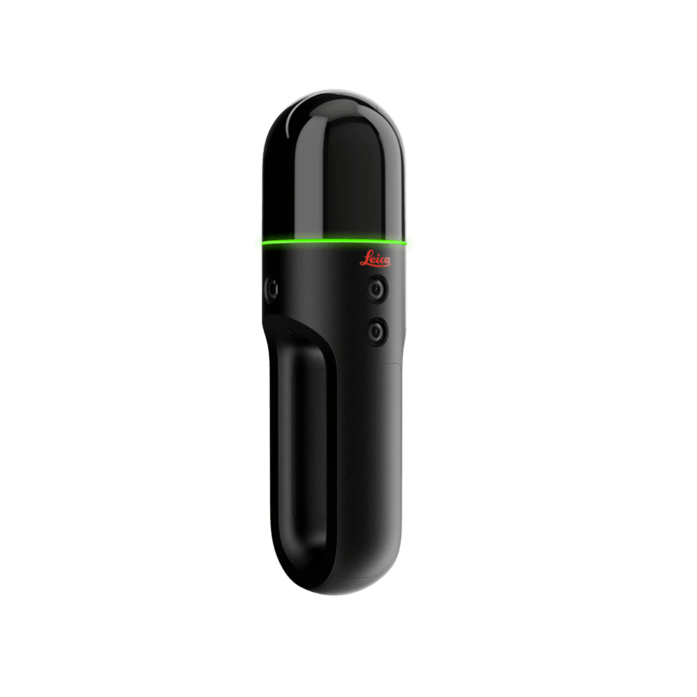
The BLK2GO is handheld, wireless and lightweight, designed for fast...
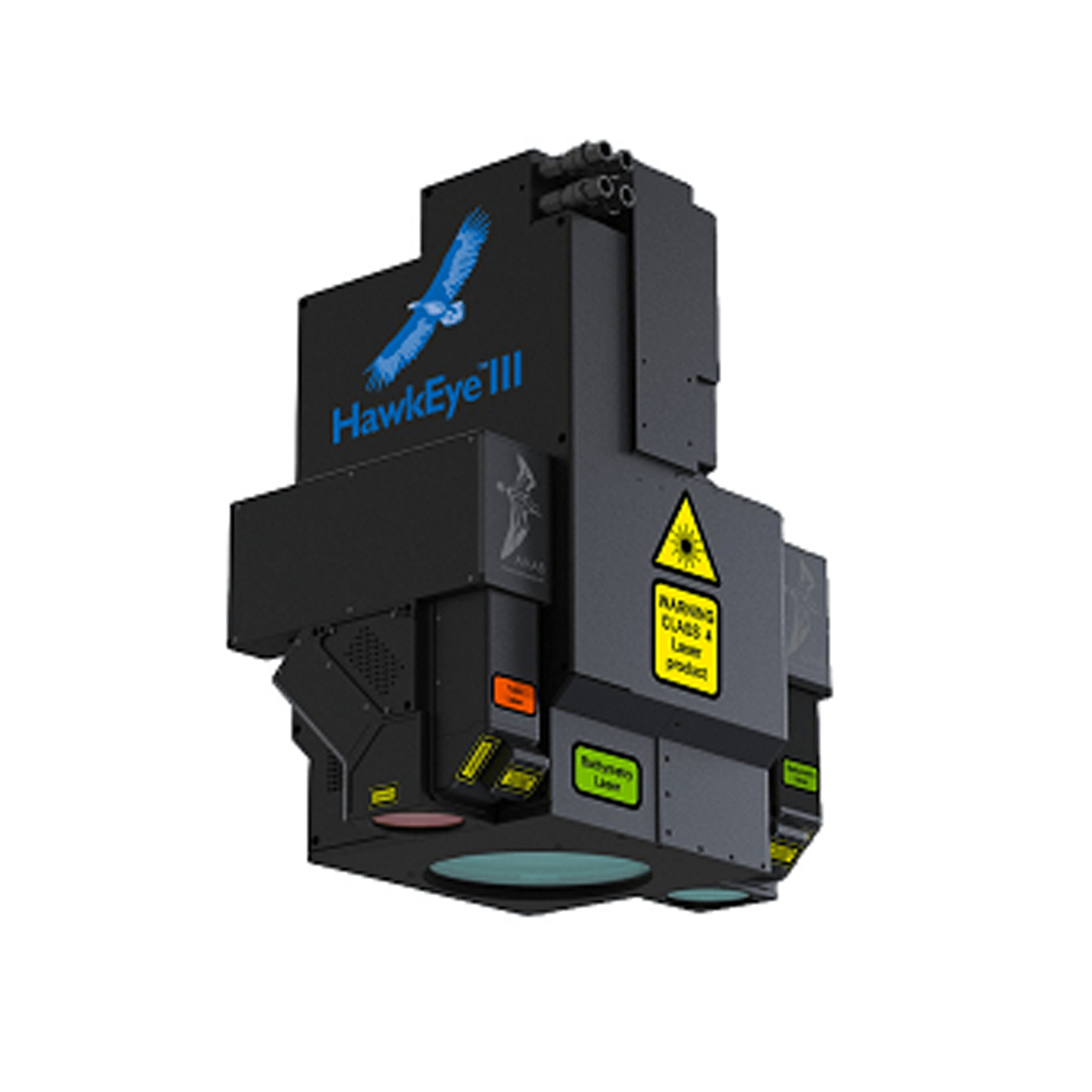
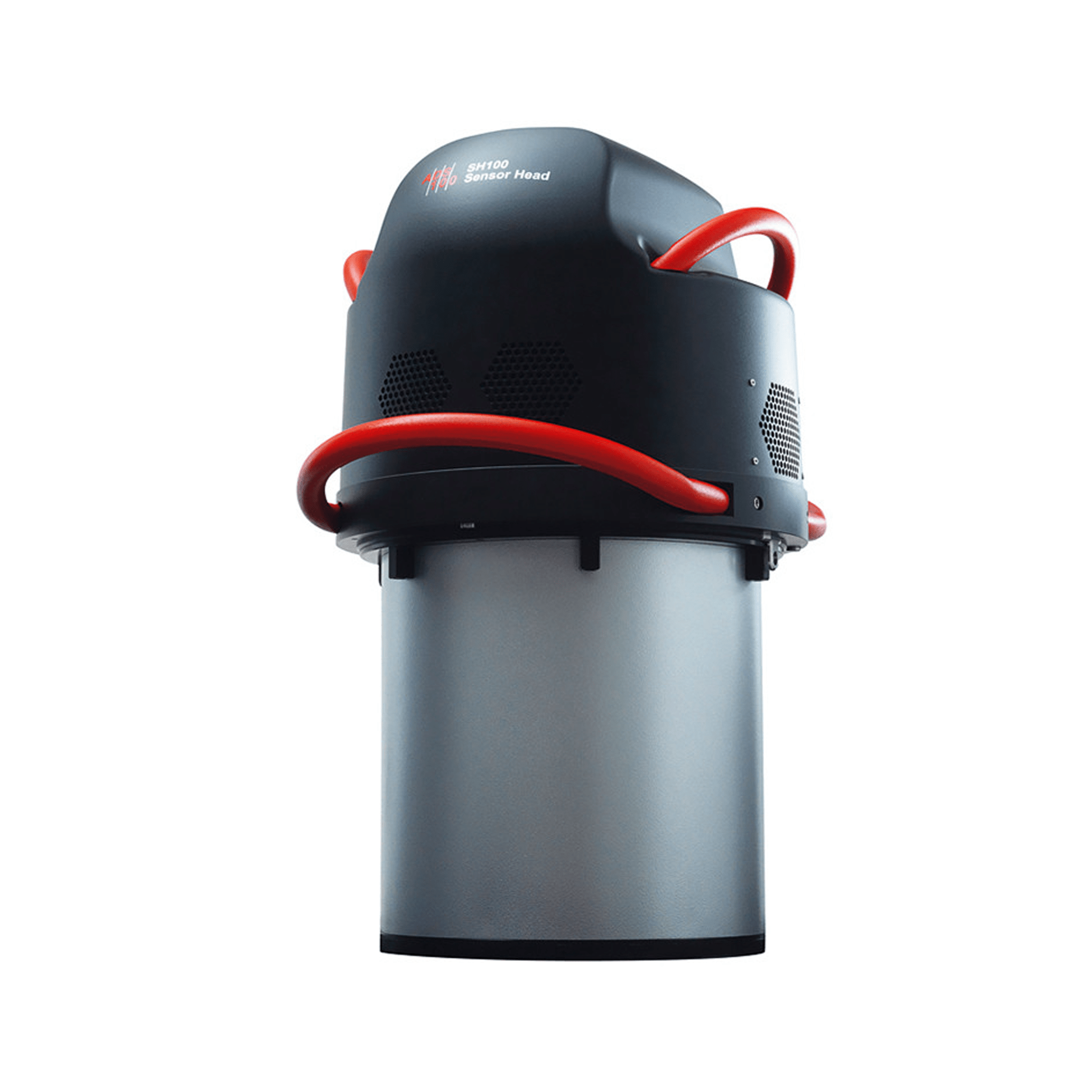
The most efficient and powerful sensor for deep bathymetric surveyi...
Captures LiDAR data over large areas at the lowest cost per data po...
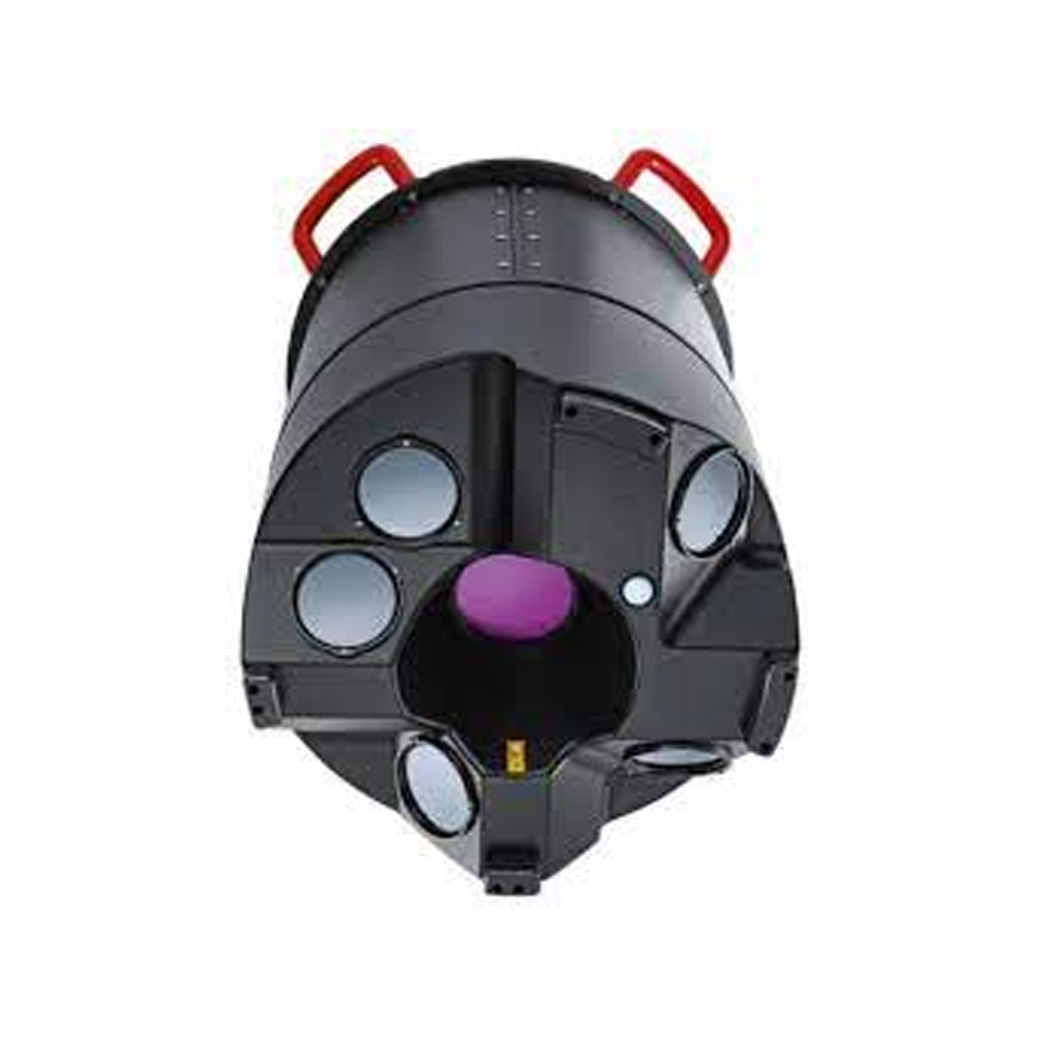
Modular and scalable airborne mapping solutions for complex LiDAR p...
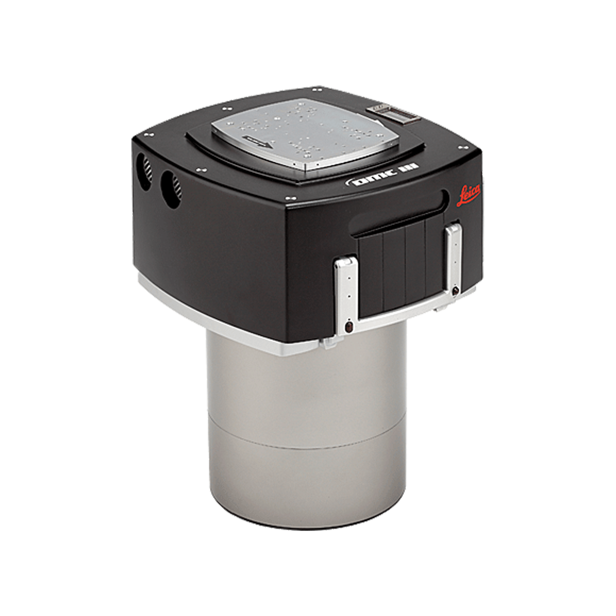
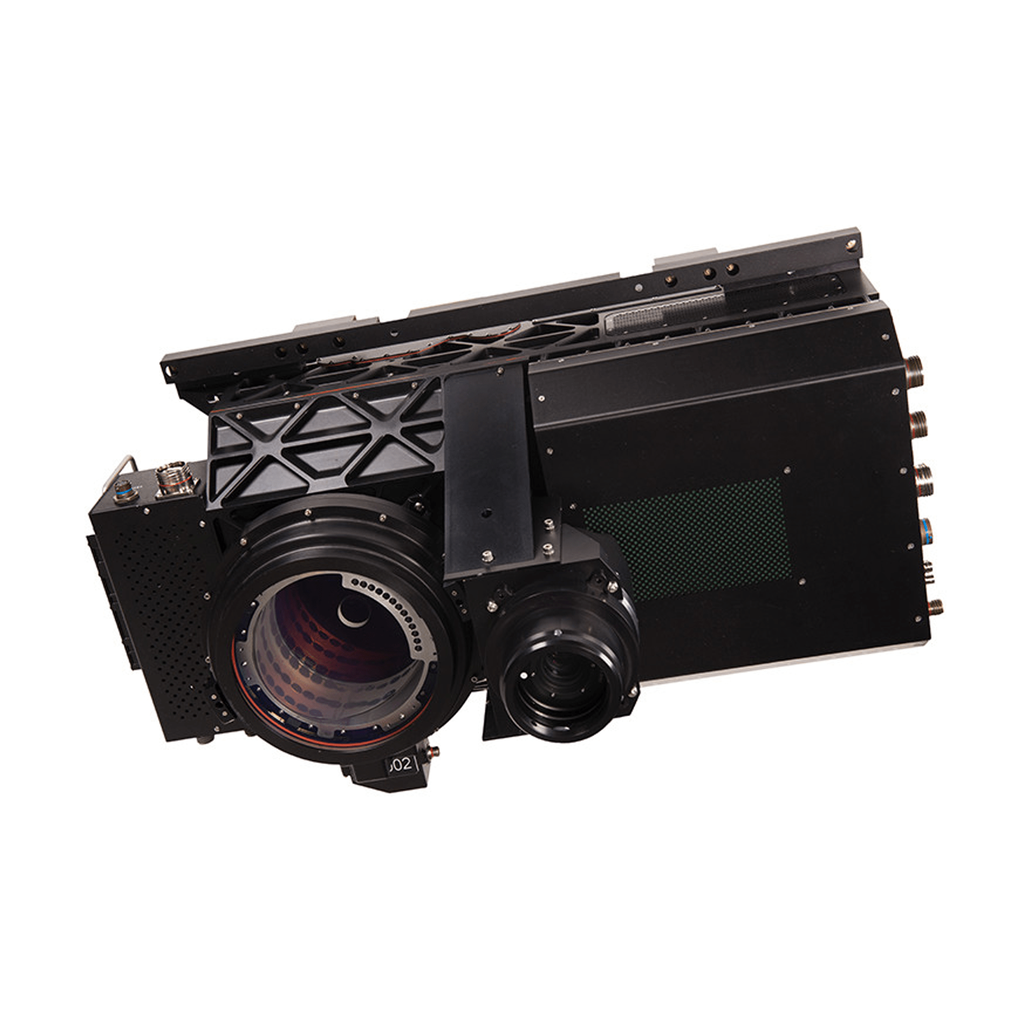
Large format airborne camera for wide area mapping
Higher acquisition efficiency, increased image quality, reduced fli...
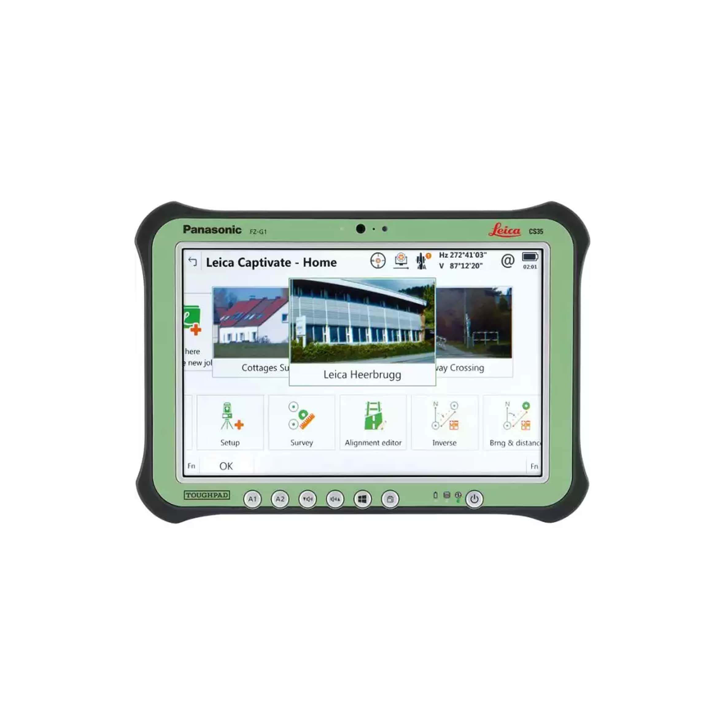
Wider screen, clearer data, power in your hands
-min.png)
Portable, integrated hydrographic
-min.png)
Inspection / survey of mines, sewage treatment plants, contaminated...
-min.png)
Integrates a full-frame sensor with interchangeable fixed-focus len...
-min.png)
First hybrid sensor solution which consists of a 20 MP zoom camera...
-min.png)
Unique aerial intelligence to capture everything