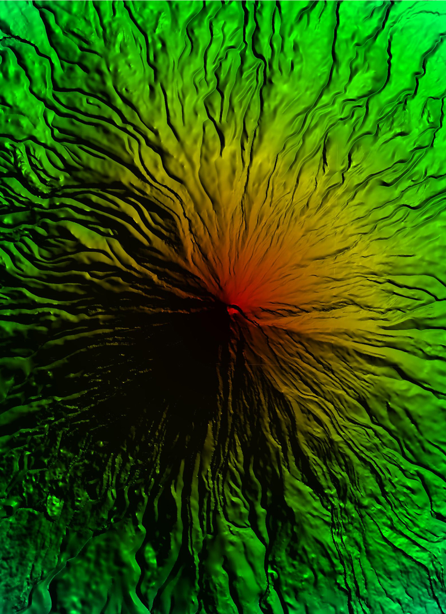
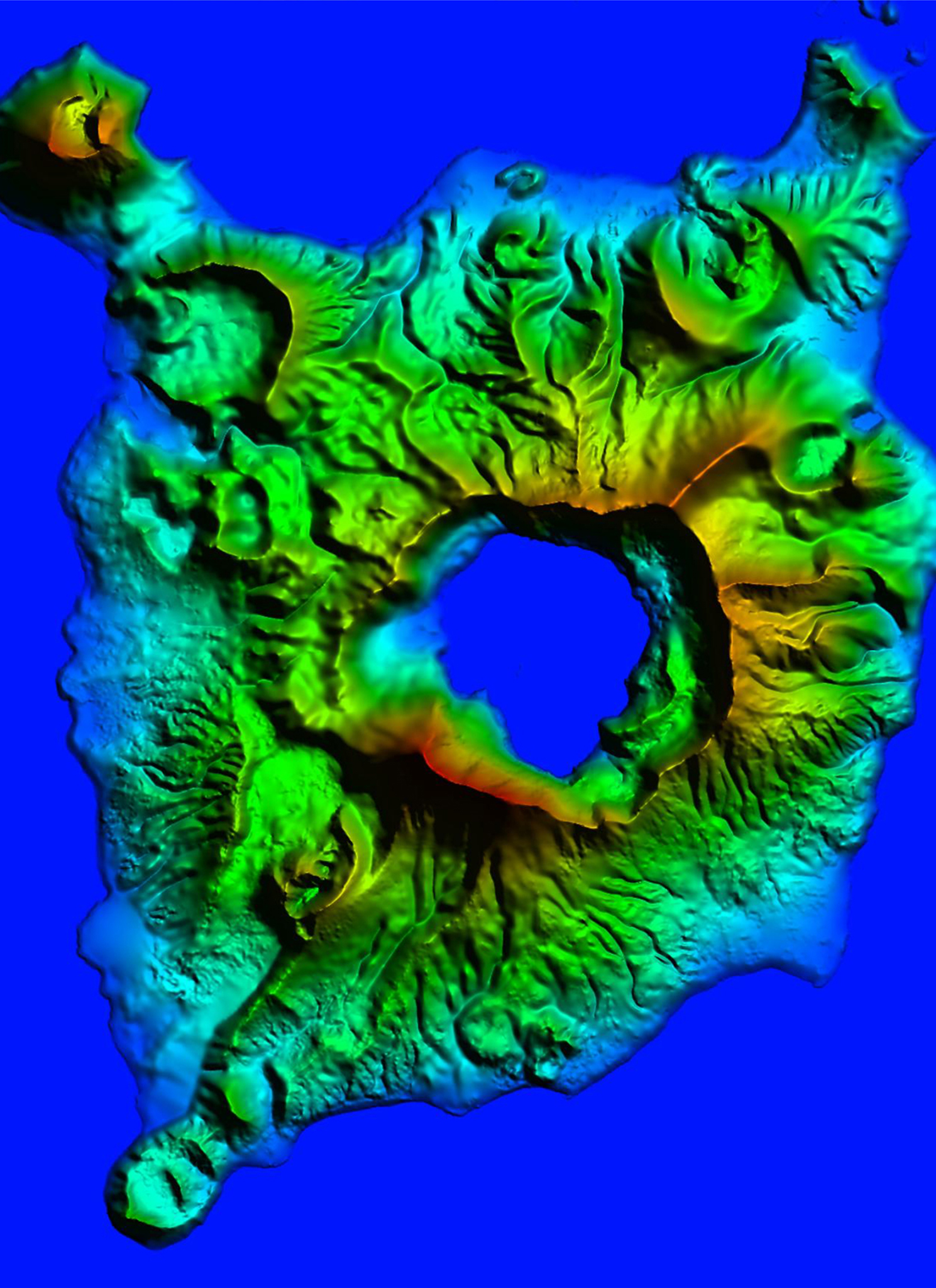
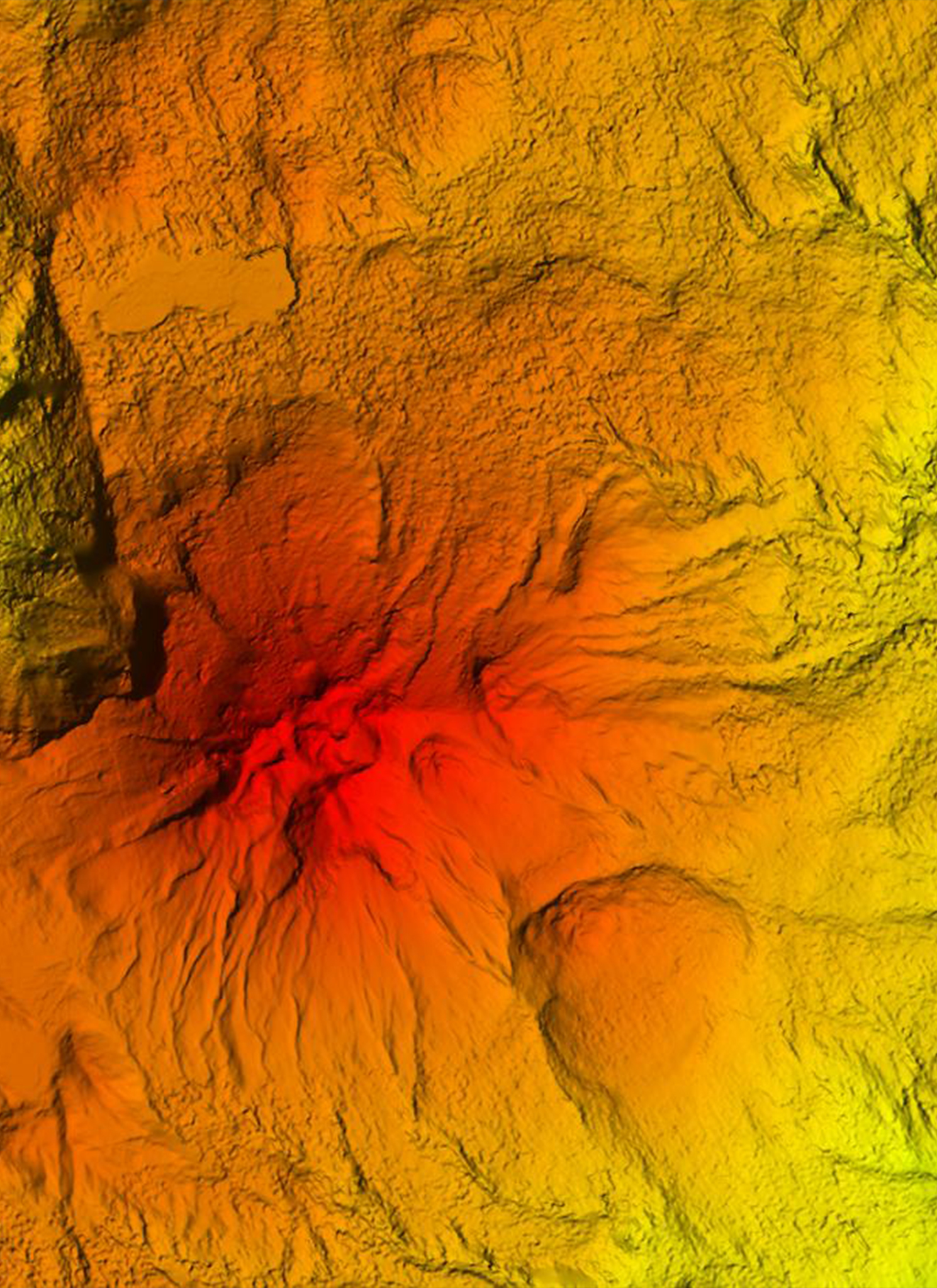
IFSAR stands for Interferometric Synthetic Aperture Radar. Developed just in recent years, IFSAR is a powerful approach in generating high-resolution digital data through the use of Digital Elevation Model (DEM) and an orthorectified radar image. The use of this technology is ideal for cost-effective, large-area geospatial solutions that are more accurate than the typical satellite-acquired data.
In partnership with the biggest IFSAR Data Provider, INTERMAP Technologies that operates a glorbally operational airborne IFSAR system, Certeza provides a full complement of solutions that require fast and accurate elevation data.
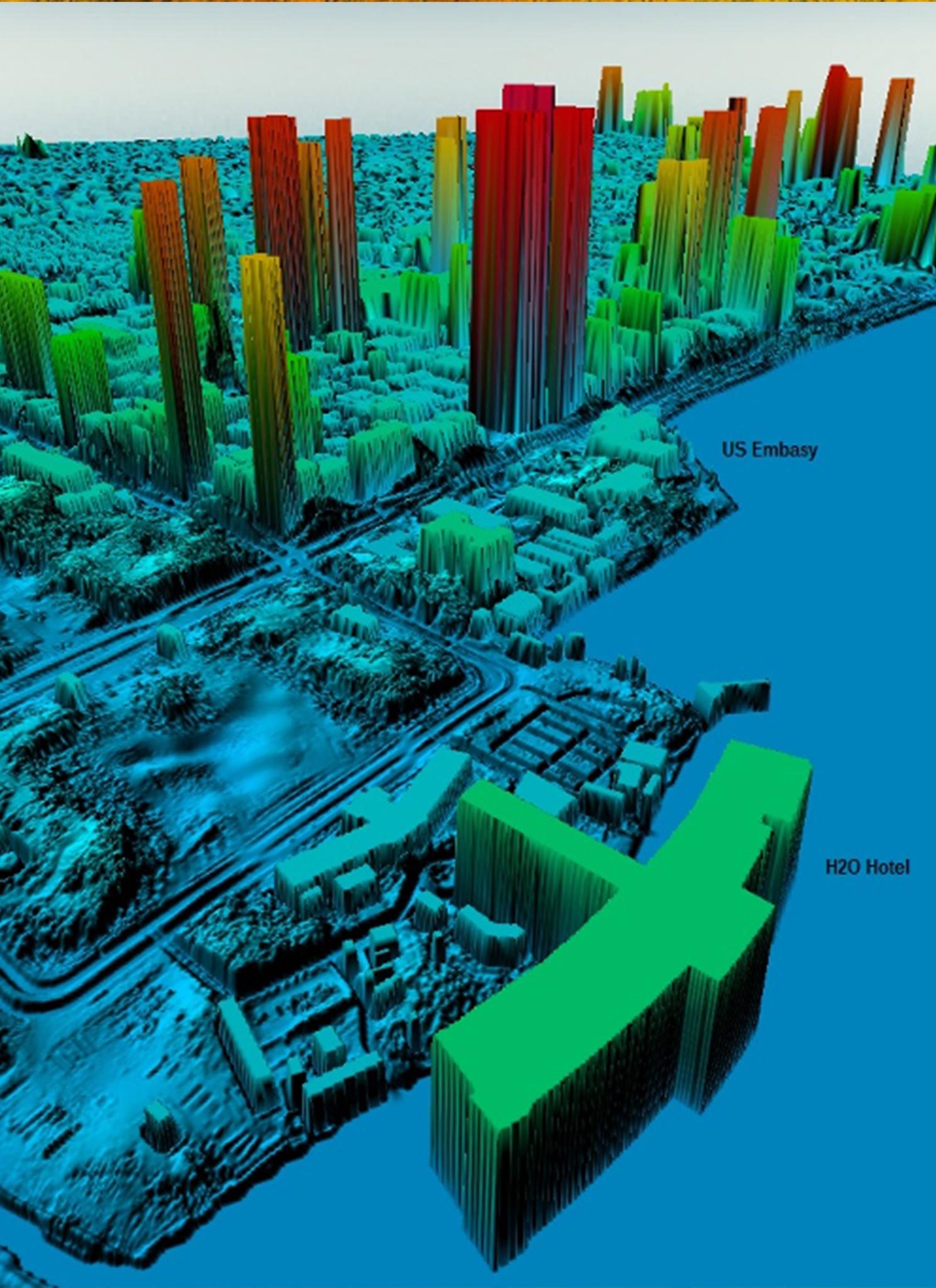
Our IFSAR products provide accurate digital elevation models (DEMs), high-resolution .625m images, and supplementary the thematic layers that are best suited for mapping projects with sclaes from 1:10,000 to 1:50,000. All these products are accurately geo-referenced to provide a foundation for spatial data infrastructure requirements. When supplemented with satellite and LiDAR or optical products, Certeza can provide you with an integrated 3D mapping solution that spans the full range of end-user applications.
APPLICATIONS
3D visualization
Base Mapping
Contour Mapping
Flight Simulation / In-cockpit Situational Awareness
Flood Modeling
Hydro-enforced bare-earth models
Image Rectification
Personal Navigation Devices / Location-based Systems
Precision Farming / Forestry: Slope and aspect
Surface Analysis Applications
Topographic Mapping
Vehicle Navigation / Intelligent Vehicle Systems
Watershed Analysis
Check Intermap our technology partner for delivering highly-accurate 3D Terrain data.
Our Partners


.png)