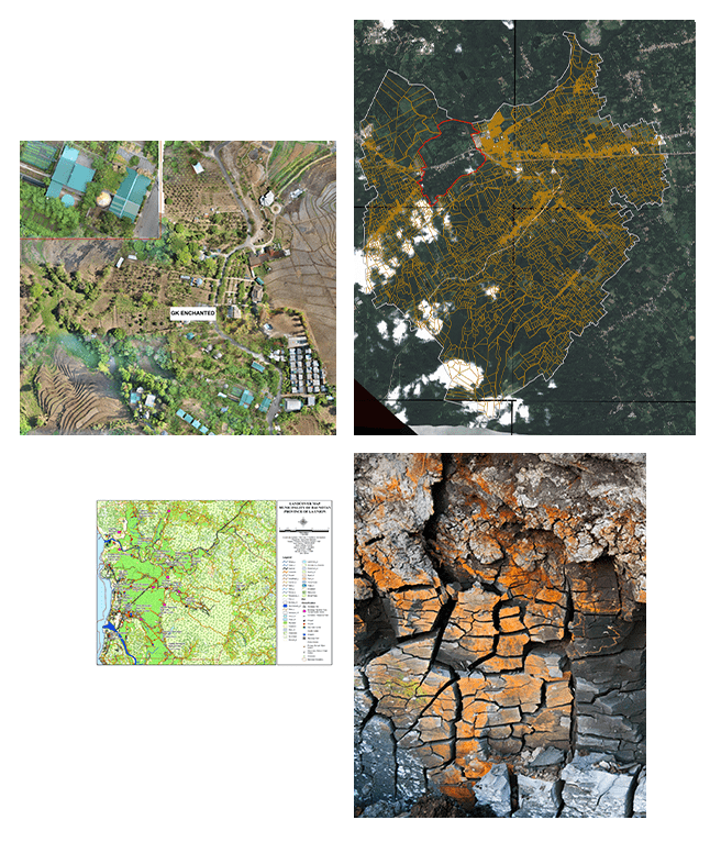
Land Administration and Mapping
We are providing civil government, mapping agencies, local government units, land administration authorities and city planners with premium geospatial data and software solutions to visualize, map, analyze, monitor and share geosaptial data for Land administrtaion and mapping purposes.
Our premium satellite imageries, accurate elevation data, remote sensing and GIS technology provides unique solution to support decision-makers exploit geospatial data and technology into actionable information.
Partners: Airbus, Intermap, and Hexagon Safety, Infrastructure and Geospatial
Featured Partners: Airbus, Intermap, and Hexagon Geospatial


.png)