Leica TerrainMapper-2
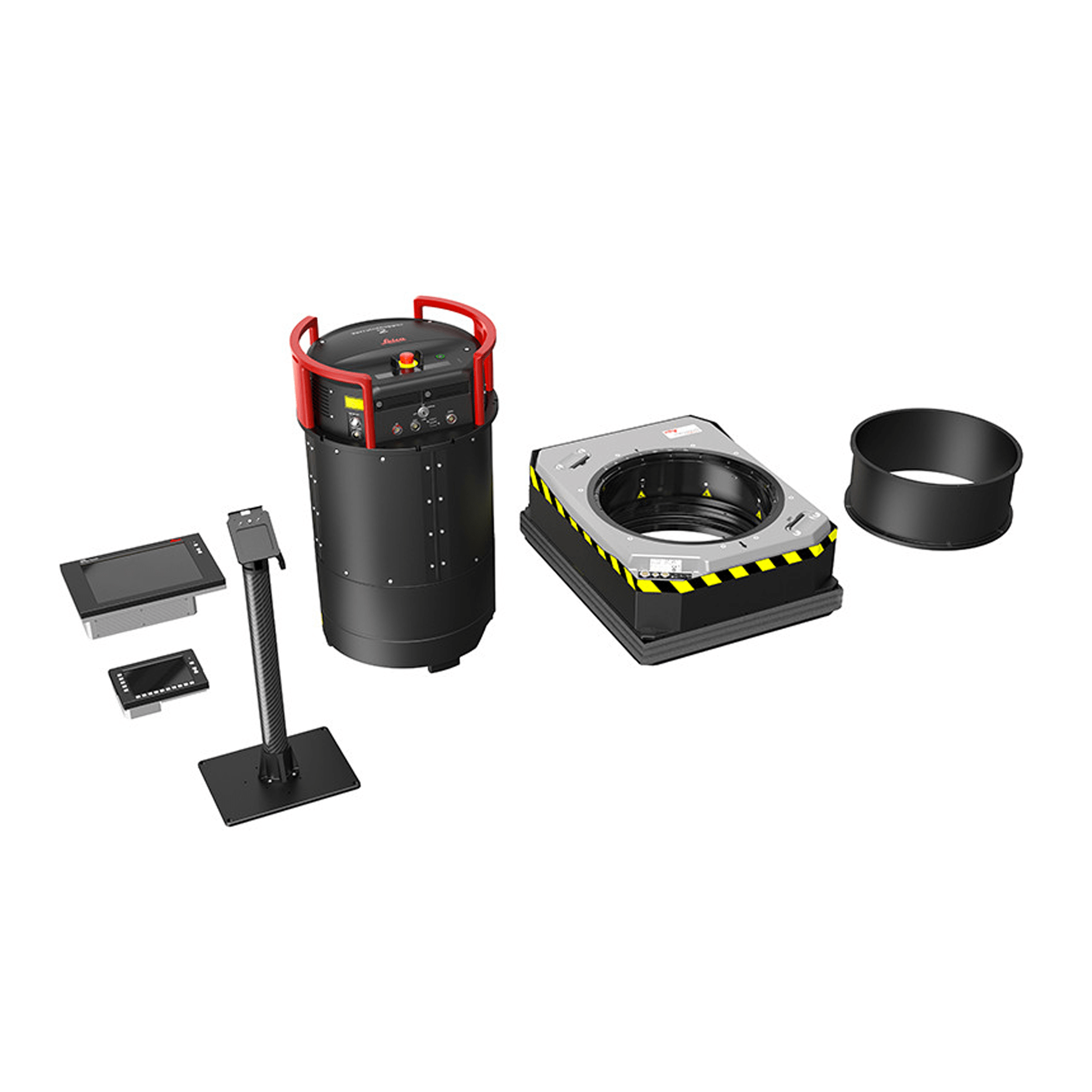
Modular and scalable airborne mapping solutions for complex LiDAR projects
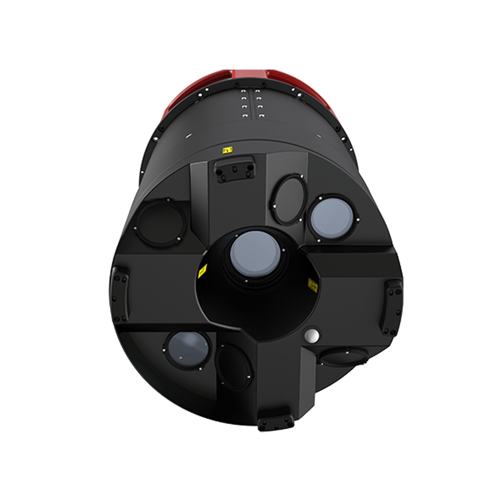
The Leica TerrainMapper-2 is the latest linear-mode LiDAR airborne sensor providing the highest performance for regional mapping projects. system is designed to offer the maximum flexibility for all applications from narrow-swath corridors to high altitude applications over complex and changing environments for the delivery of highest fidelity data.