CERTEZA INFOSYS CORPORATION is the premier Surveying Company in Southeast Asia, the oldest in the Philippines (1924). CIC offers a full range of surveying and land development services using a combination of well-established practices and modern techniques.
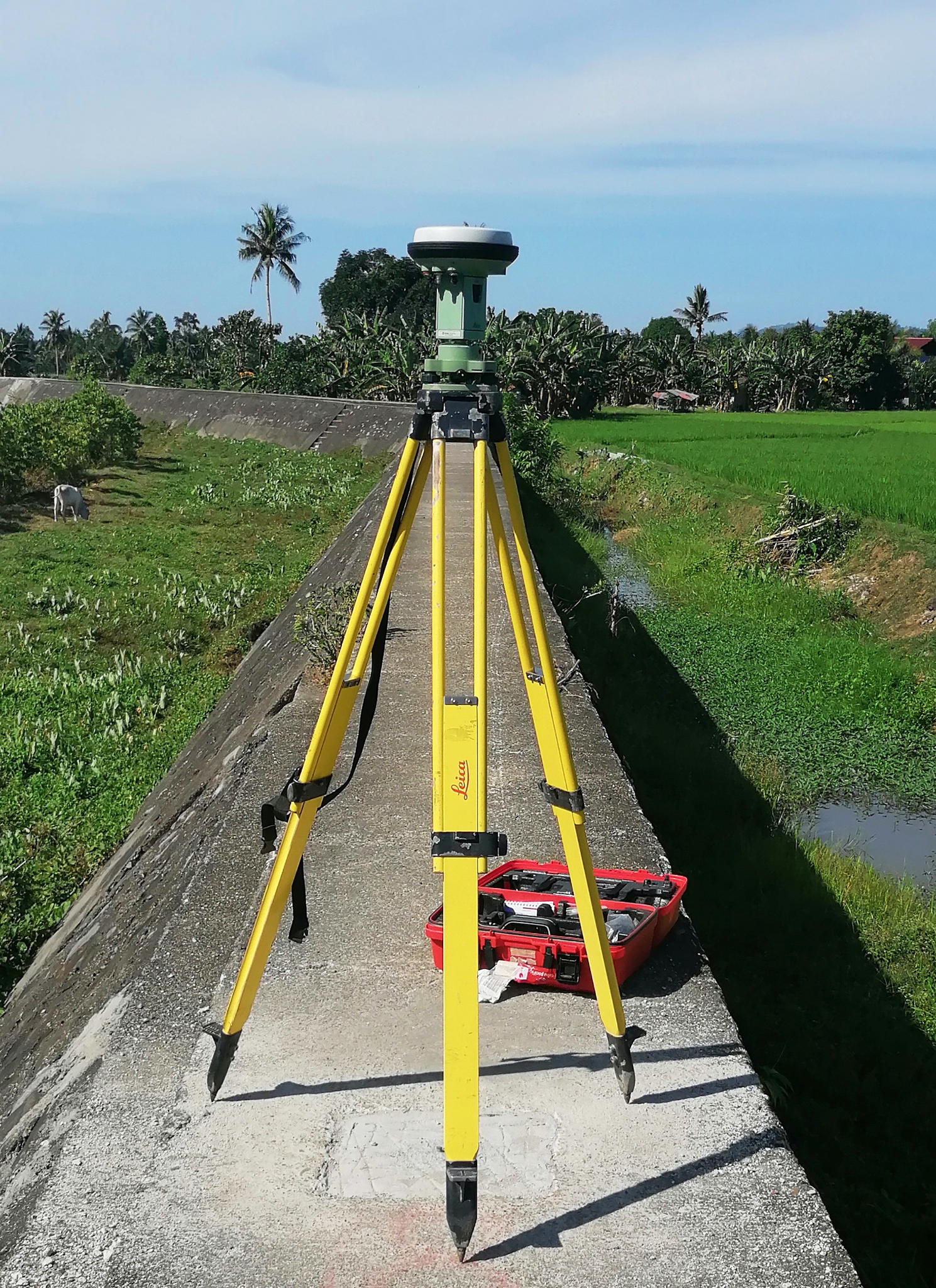
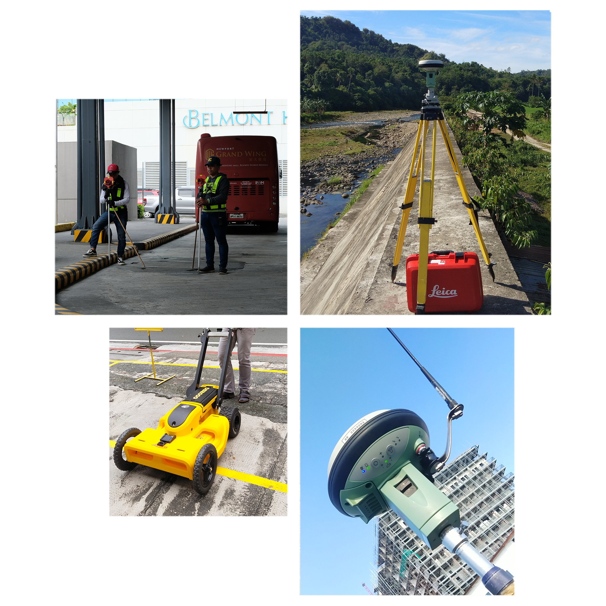
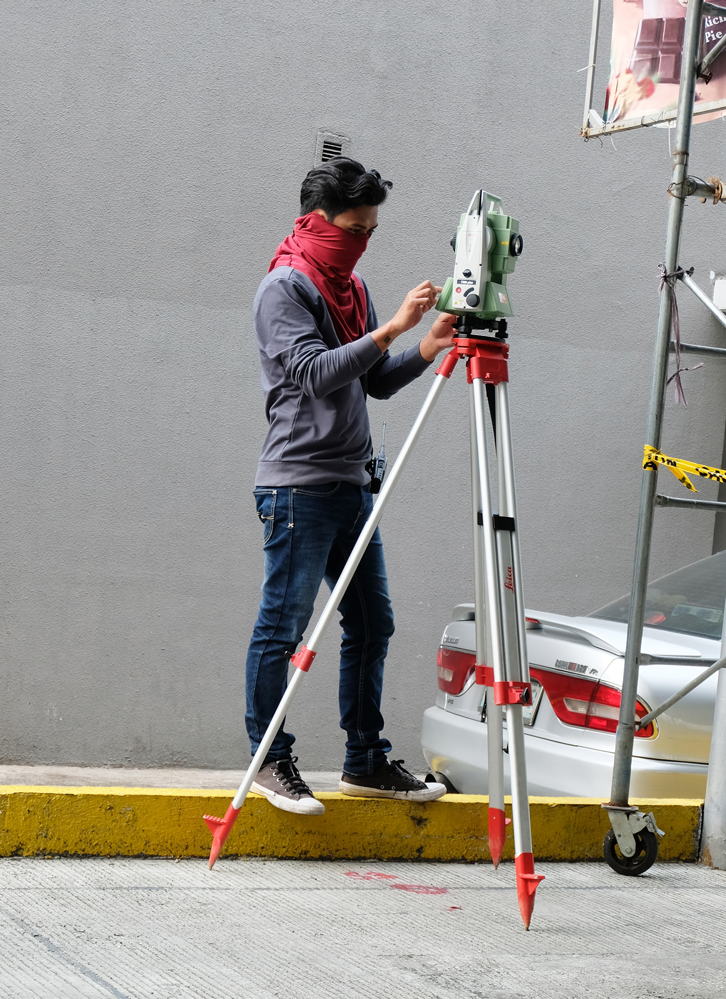
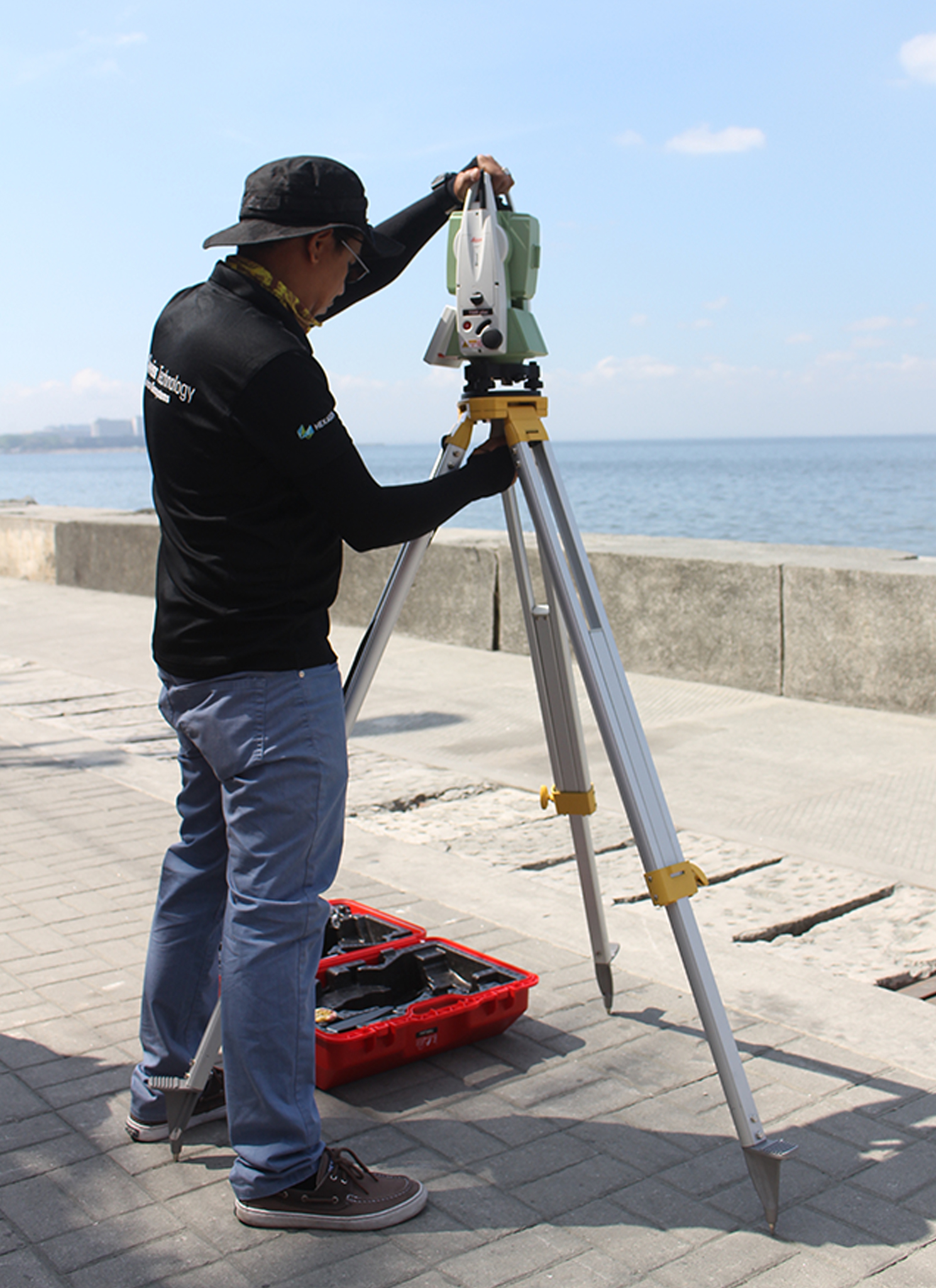
The dynamic advancement of technology and applications enabled CIC to adopt new technologies and practices in order to achieve quality survey outputs. Through the use of modern equipment such as the Global Positioning System (GPS) receivers, Electronic Total Station equipment, Digital Level instrument, and up-to-date survey data processing software, CIC is able to provide its clientele with a superior range of surveying solutions.
Surveying Part
1. Land Surveys
- Cadastral Surveys
- Parcellary Surveys
- Isolated Land Surveys
- Relocation Surveys
- Subdivision Surveys
- Subdivision Consolidation Surveys
2. Project Control Surveys and Establishment
- GNSS Geodetic COntrol Surveys
- Vertical Control Surveys
- Horizontal Control Surveys
3. Engineering Surveys
Topographic Surveys
- Conventional Ground Topographic Survey
- Unmanned aerial survey (Drone photogrammetry and Lidar)
As-built Surveys
- Conventional as-asbuilt Surveys
- Drone Lidar
- Laser Scanning
Route Surveys
- Alignment Surveys
- Road Alignment Survey
- Tunnel Alignment Survey
- Profile and Cross Section Surveys

Our Partners


.png)