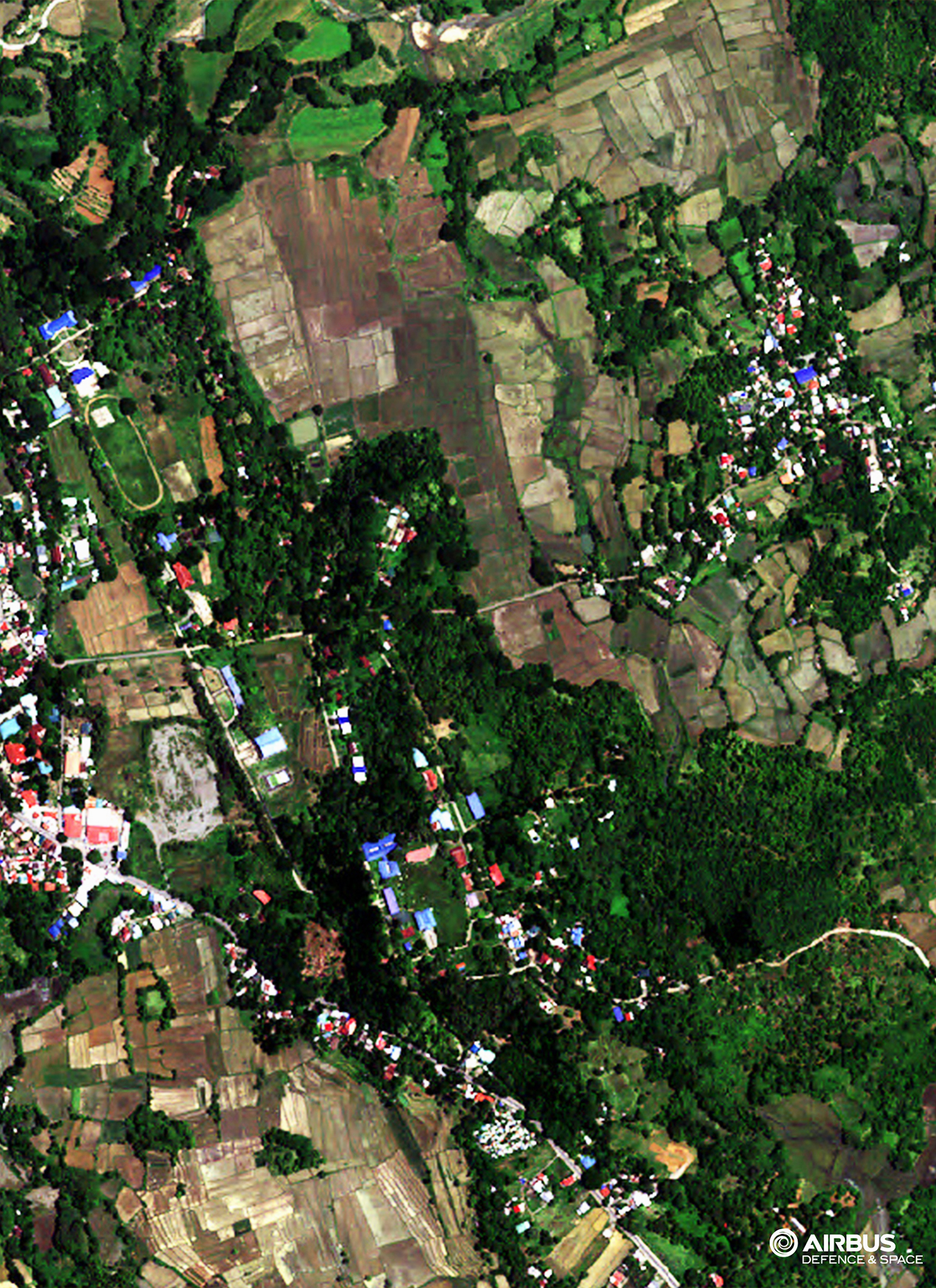
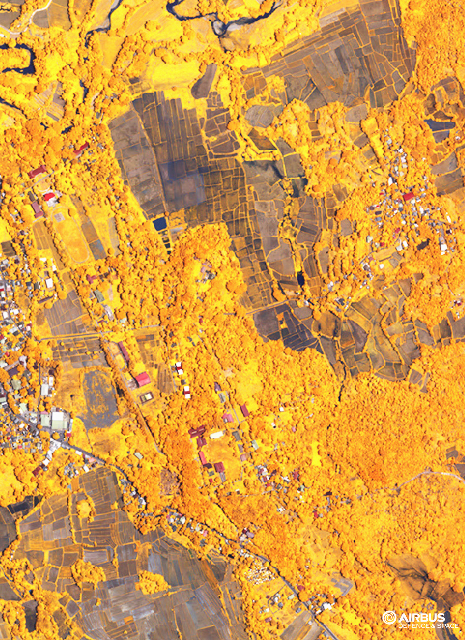
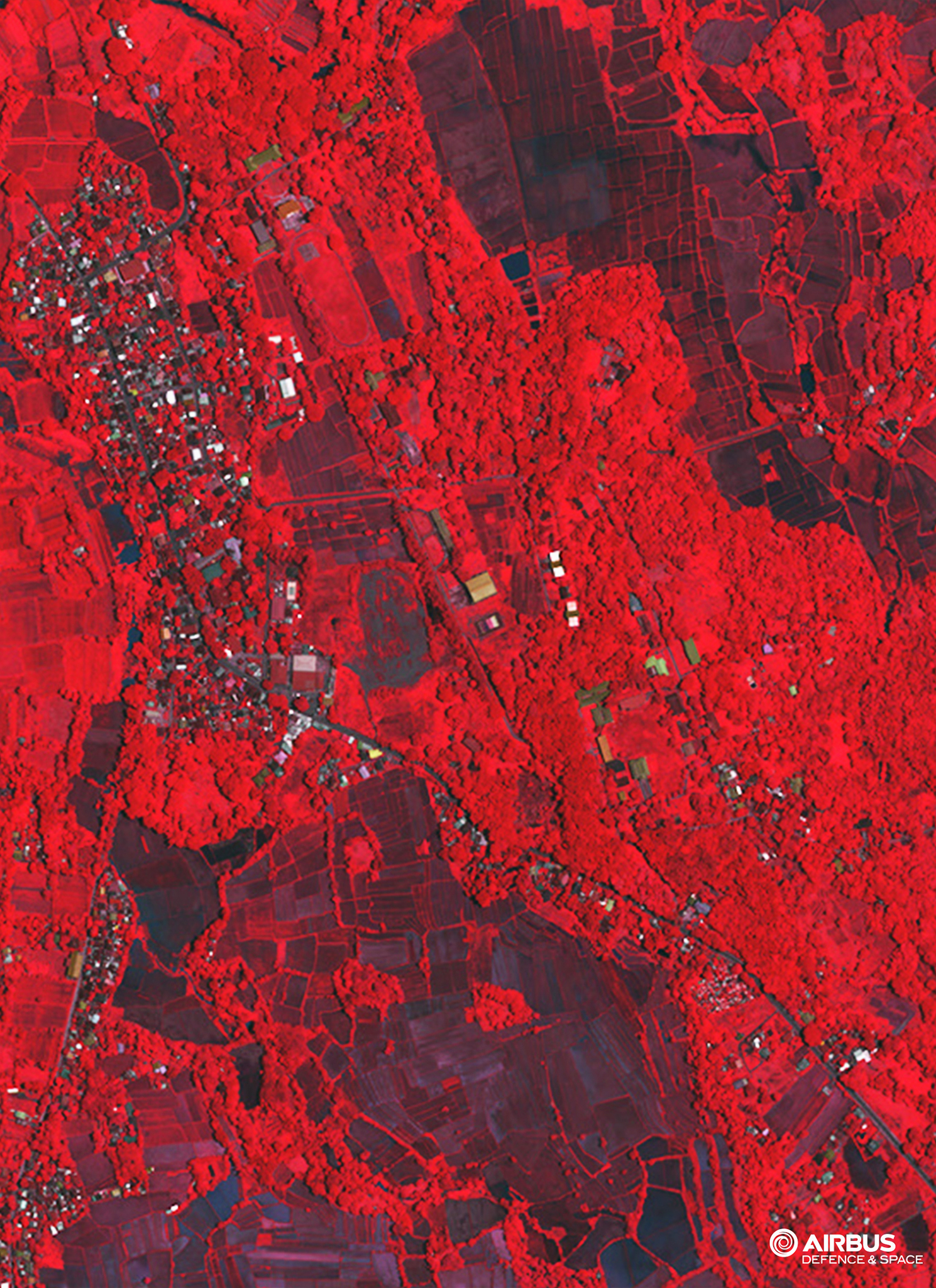
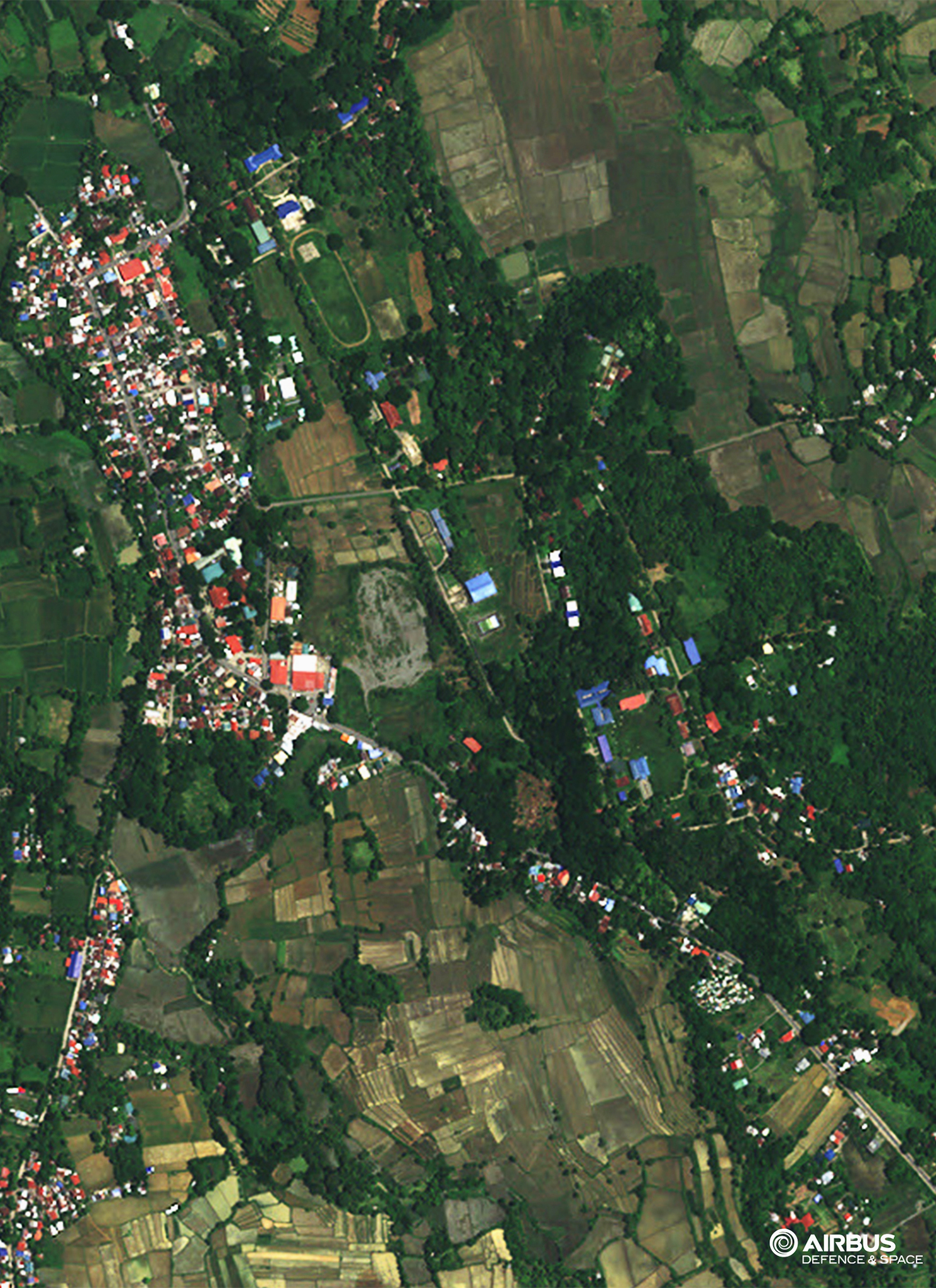
Remote sensing and geographic information system (GIS) are among the many useful means for gathering and analyzing information from aerial photography, scanner or radar, and satellite images. These methods allow mapping and monitoring of the earth's resources. CERTEZA's remote sensing team utilizes real-time imagery in extracting the information necessary for companies' decision making.
Quite apart from disturbing various high-resolution imagery, CERTEZA offers technical assistance on image processing (correction, mosaiking, geo-referencing, orthorectification, feature extraction, ground-truthing, and other value-added services).
CERTEZA also provides consultancy services on the application and use of satellite remote sensing. These services are complemented with the provision of training on the basic concepts of remote sensing technology and hands-on training on the use of iamge processing software.
APPLICATIONS:
Agricultural mapping
Change detection
Classification-supervised and unsupervised
Clutter data for wireless telecommunication network planning
Coastal ecosystem management
Environmental impact assessment mapping
Environmental Monitoring
Forestry mapping
Land cover classification
Mining and geology mapping
Satellite imagery interpretation and classification
Slope aspect analysis
Urban Mapping
Watershed management
Our Partners


.png)