Leica Content Mapper Airborne Imaging Sensor
The new airborne mapping solution for efficient large scale geospatial content collection
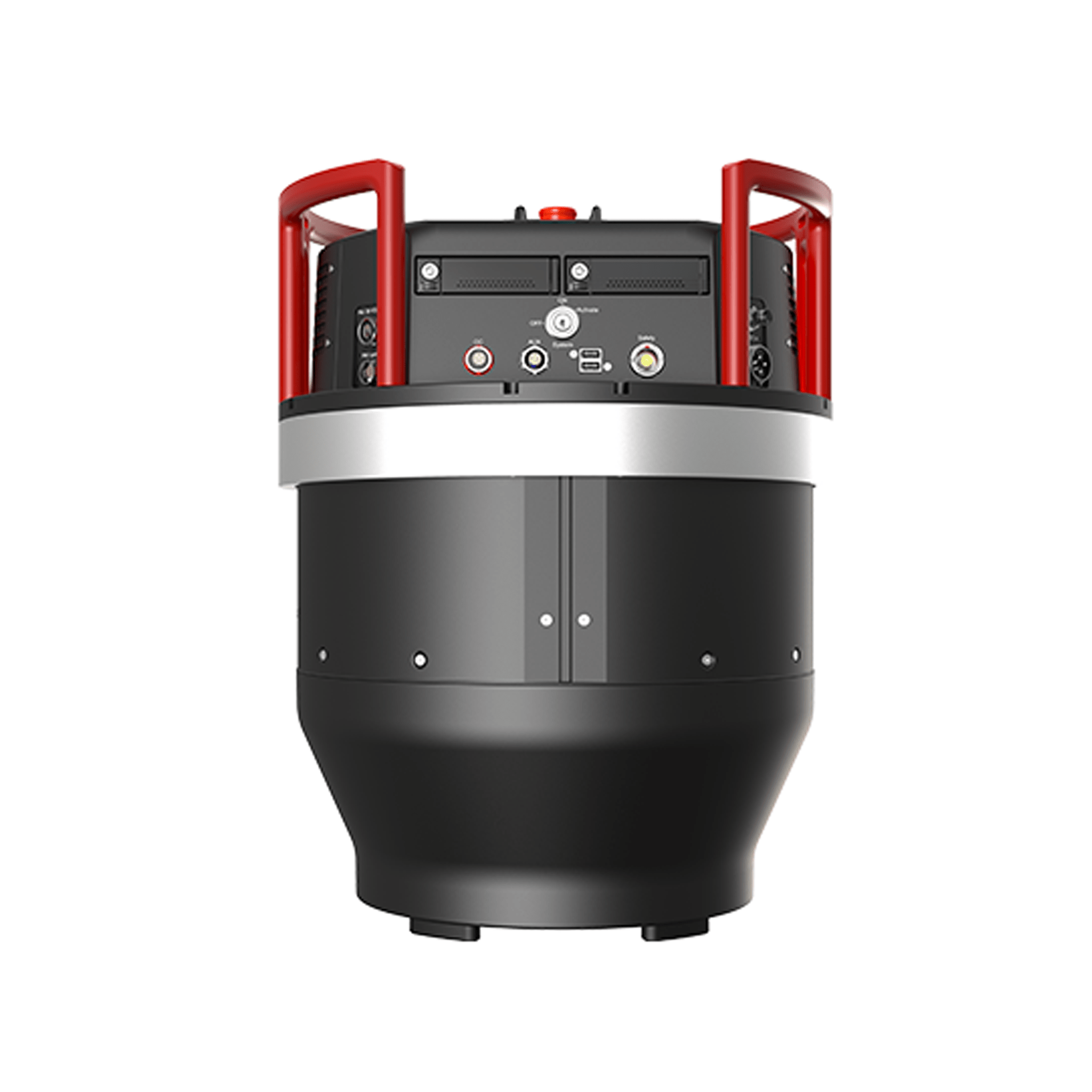
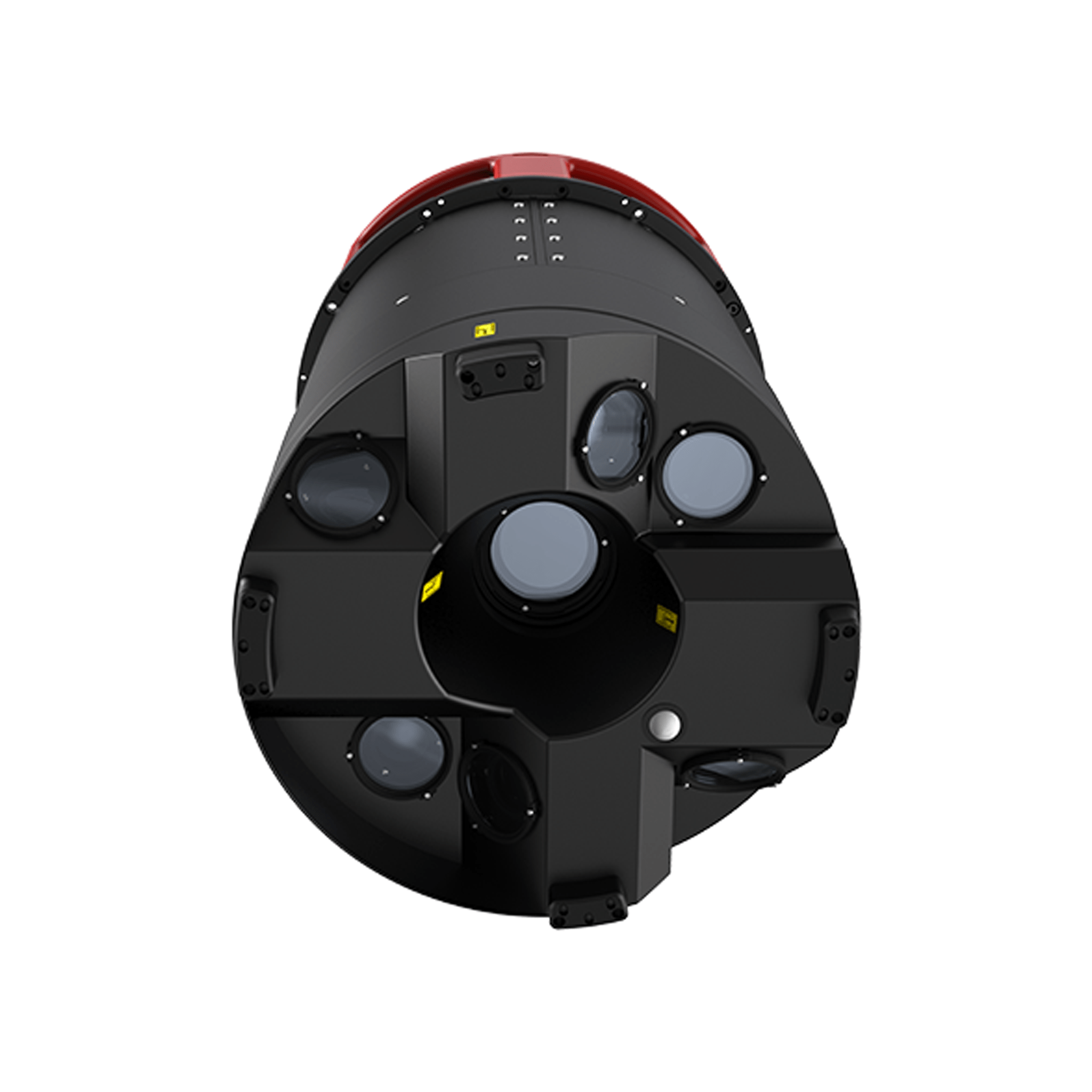
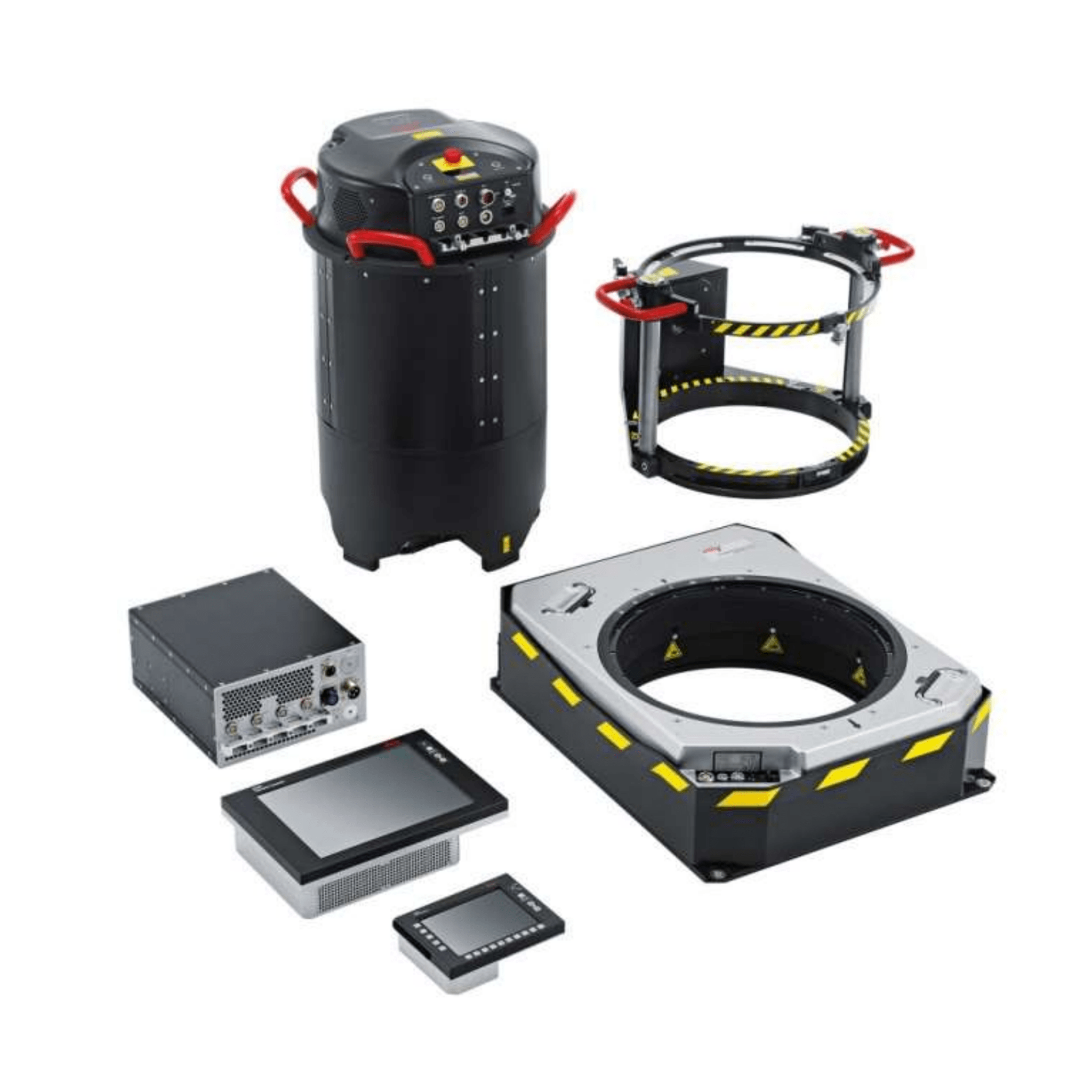
The Leica ContentMapper is the innovative and highly efficient airborne imaging sensor for large-scale geospatial mapping projects. The sensor is purpose-built to maximise imaging performance and features all of Leica Geosystems’ latest technology configured for large-scale to country-sized imagery projects.