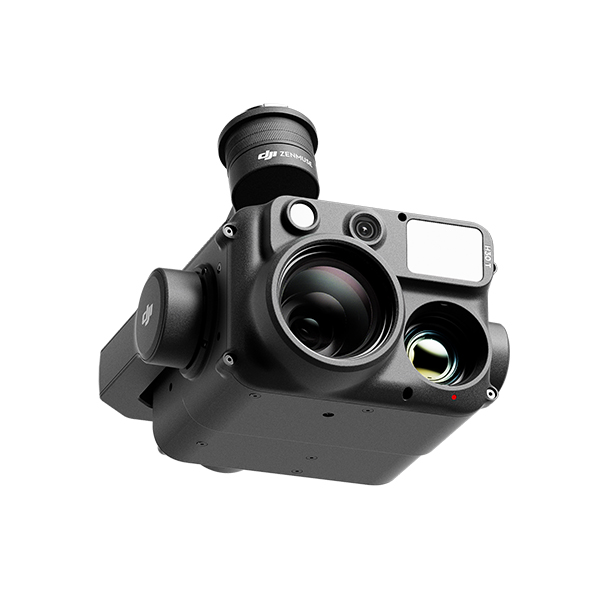
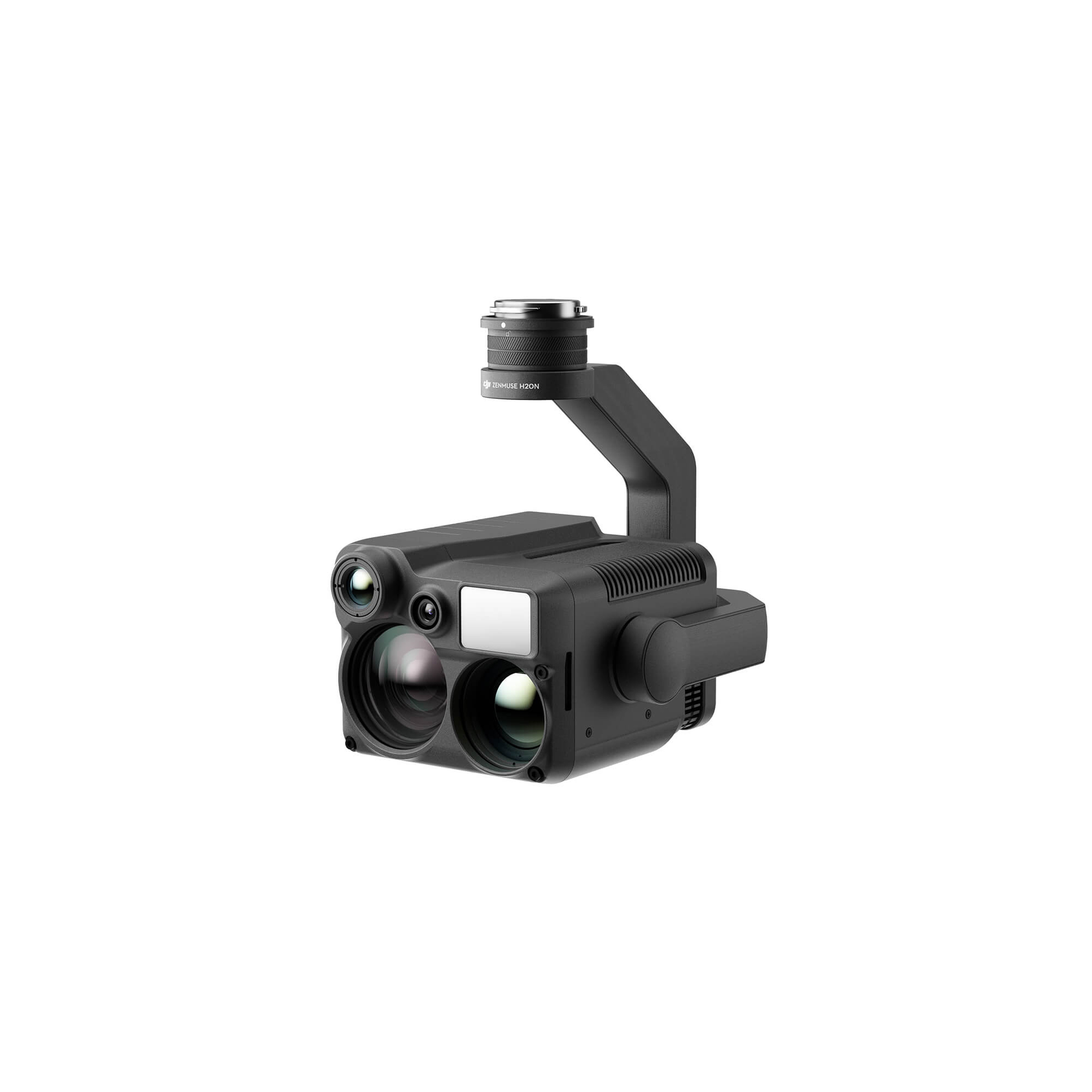
More Powerful Infrared Performance
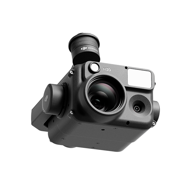
Unparalleled Vision, Day or Night
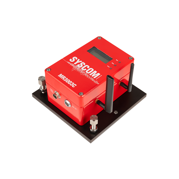
MR3003C is a compact vibration/motion measurement system built in a...
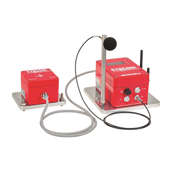
The MR3003BLA is a high-end instrument dedicated to the monitoring...
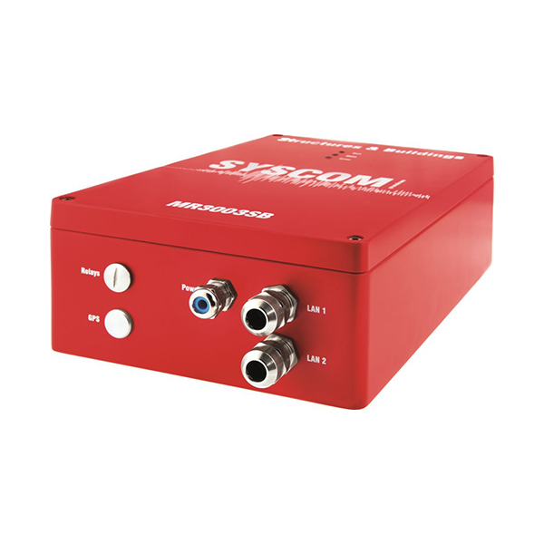
Syscom MR3003SB Structures & Buildings monitoring system provid...
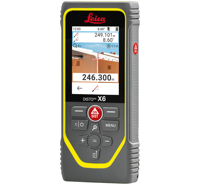
The Leica DISTO X6 is especially suitable for rough construction si...
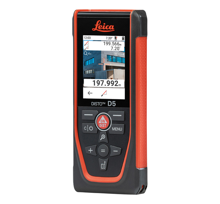
The Leica DISTO D5 is particularly suitable for distance measuremen...
With the introduction of the unique MatchPoint technology, the Leic...
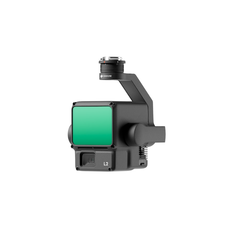
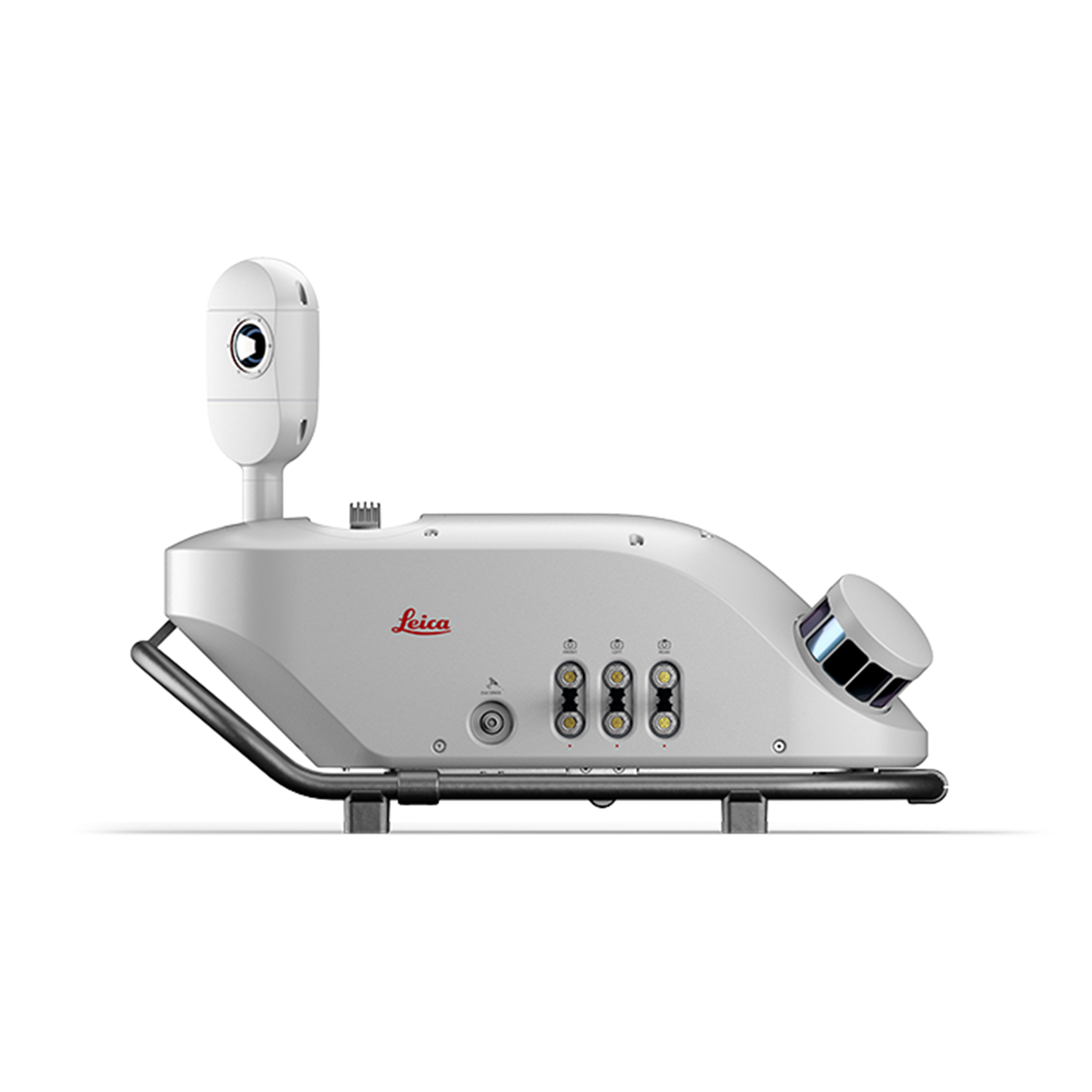
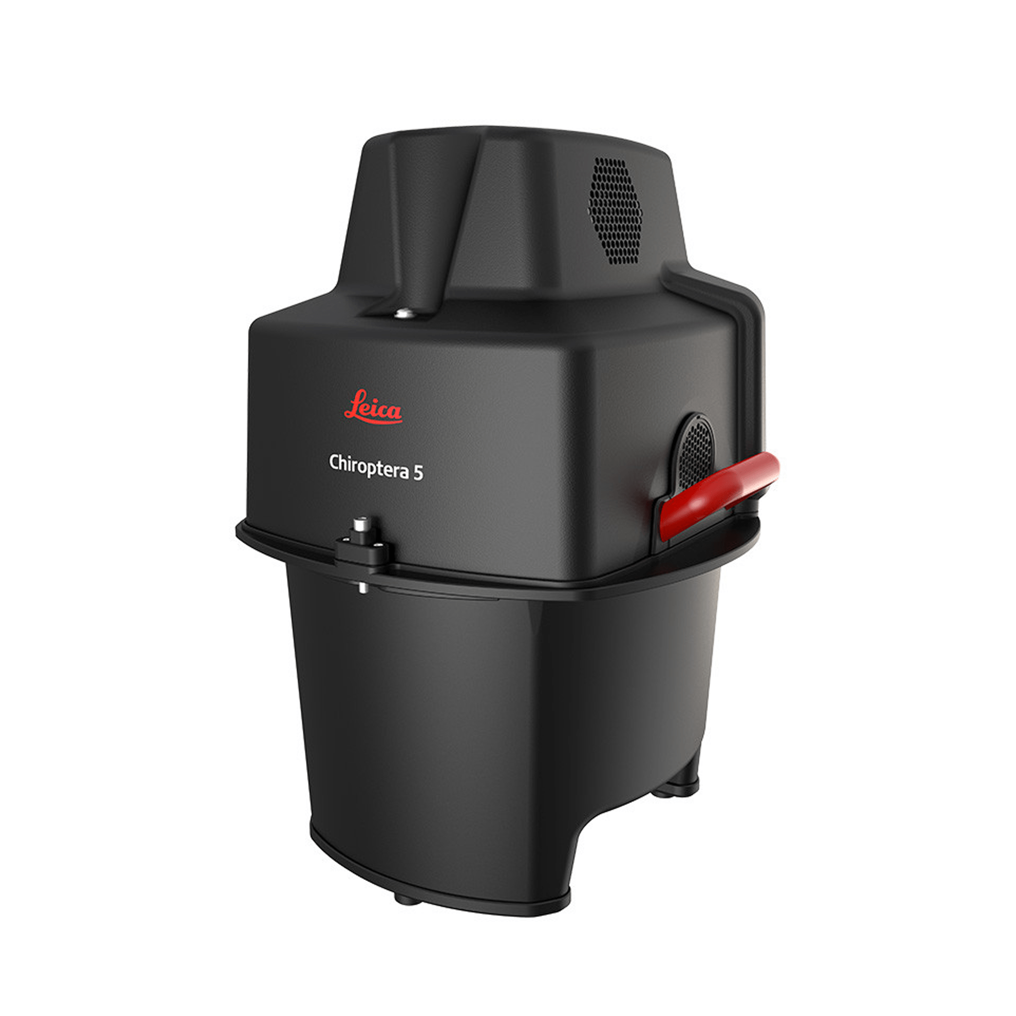
High-Precision Aerial LiDAR System
Compact and lightweight ground penetrating radar
Remote monitoring for structural movements
Real-time monitoring of civil structures and cut-slope deforma...
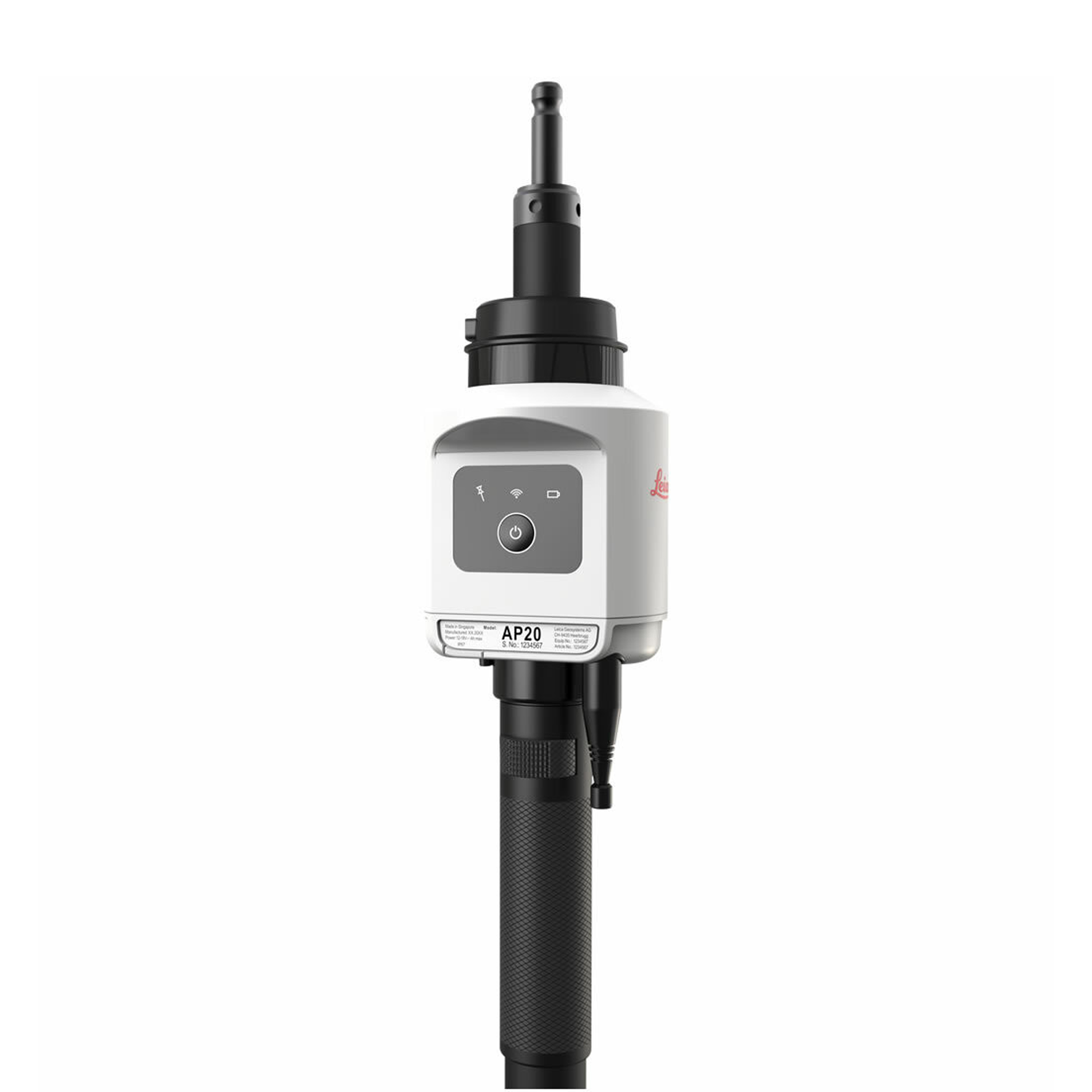
An accurate, compact and flexible solution for everyone
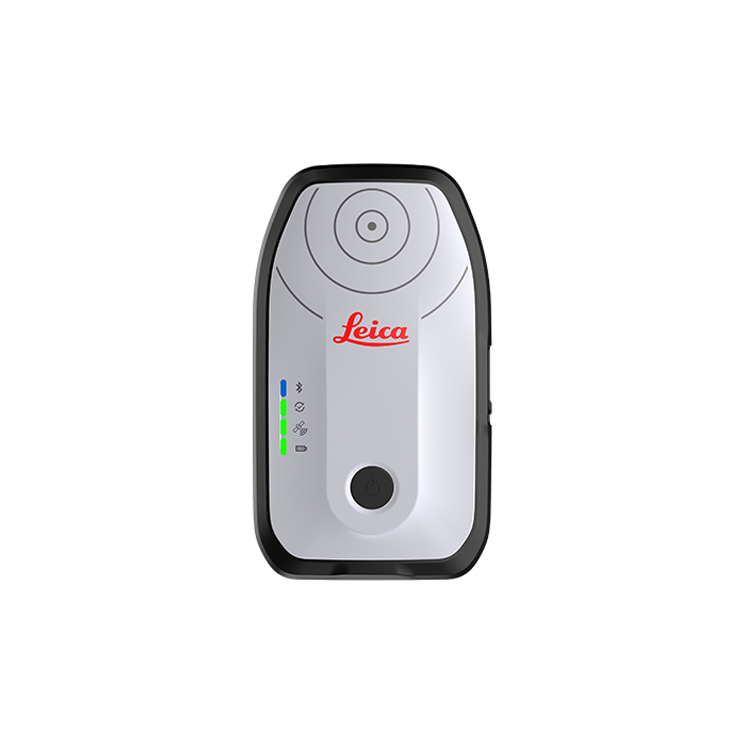
Unique smart system that boosts on-site productivity.
Fully Powered to Forge Ahead
Superior point density and depth penetration for coastal and inland...
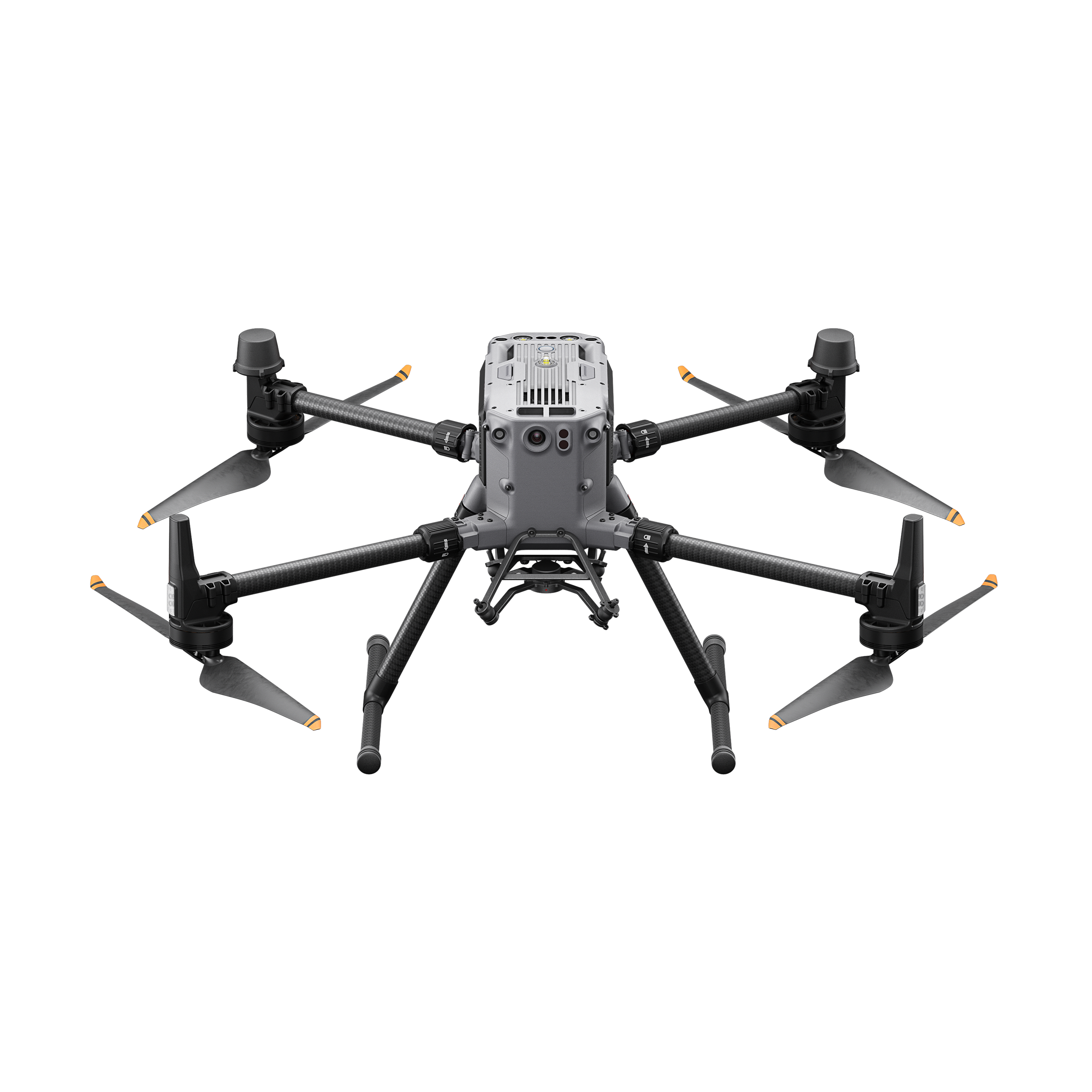
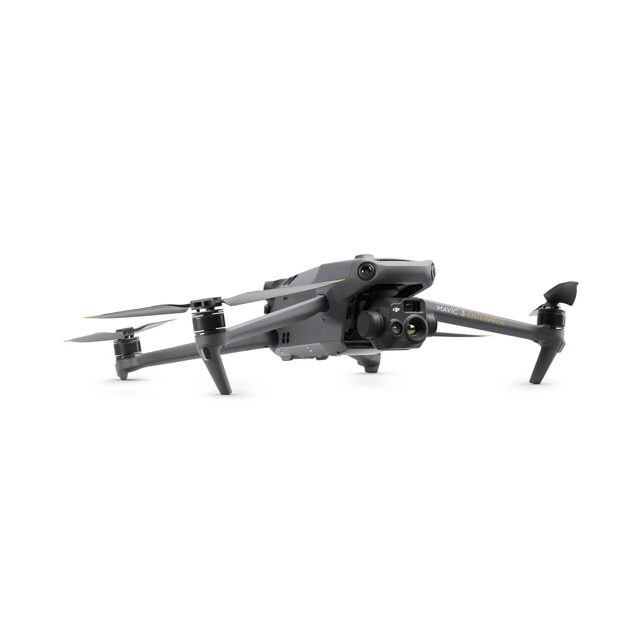
The DJI Mavic 3E is equipped with a mechanical shutter, a 56x zoom...
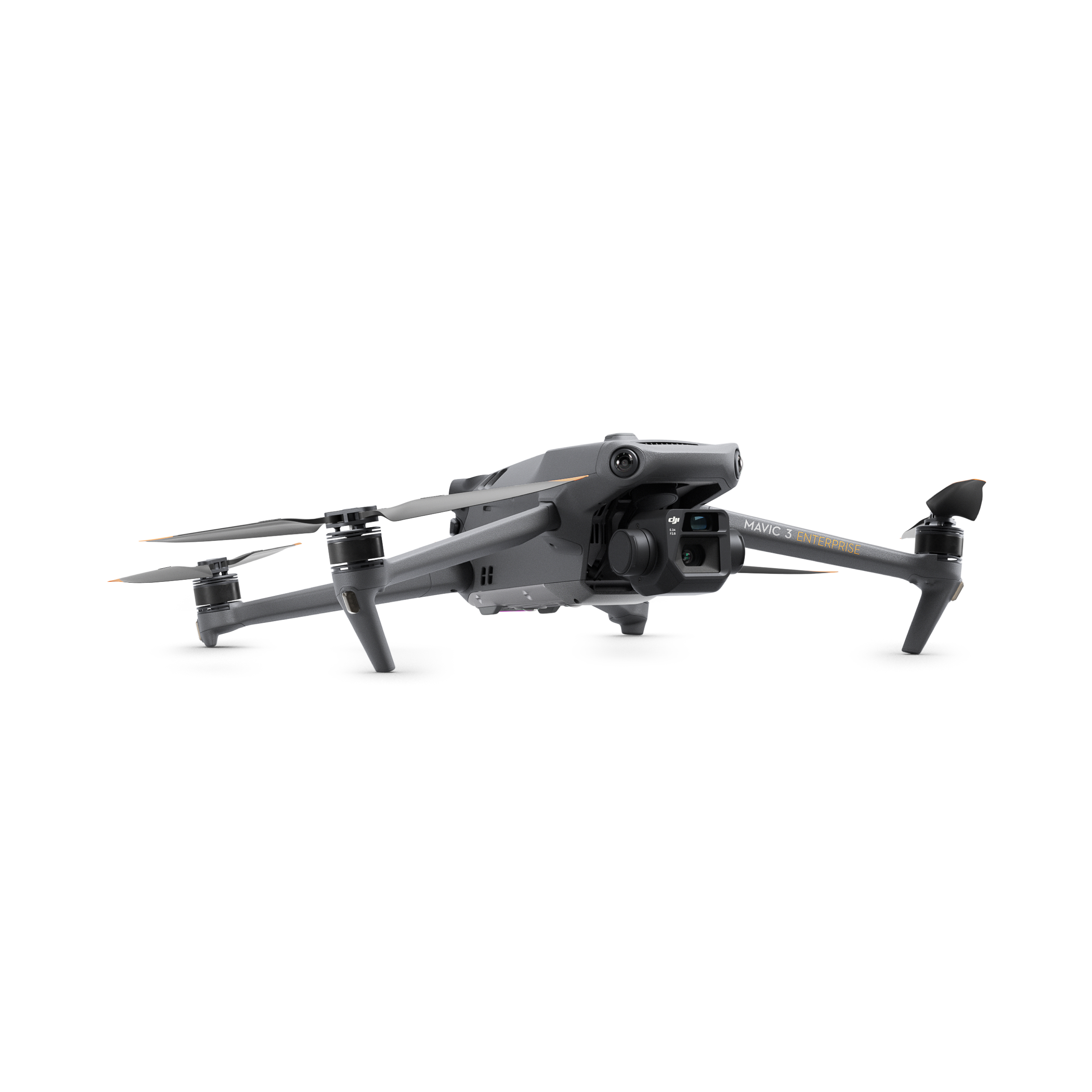
The DJI Mavic 3T equipped with a thermal camera and takes Search an...
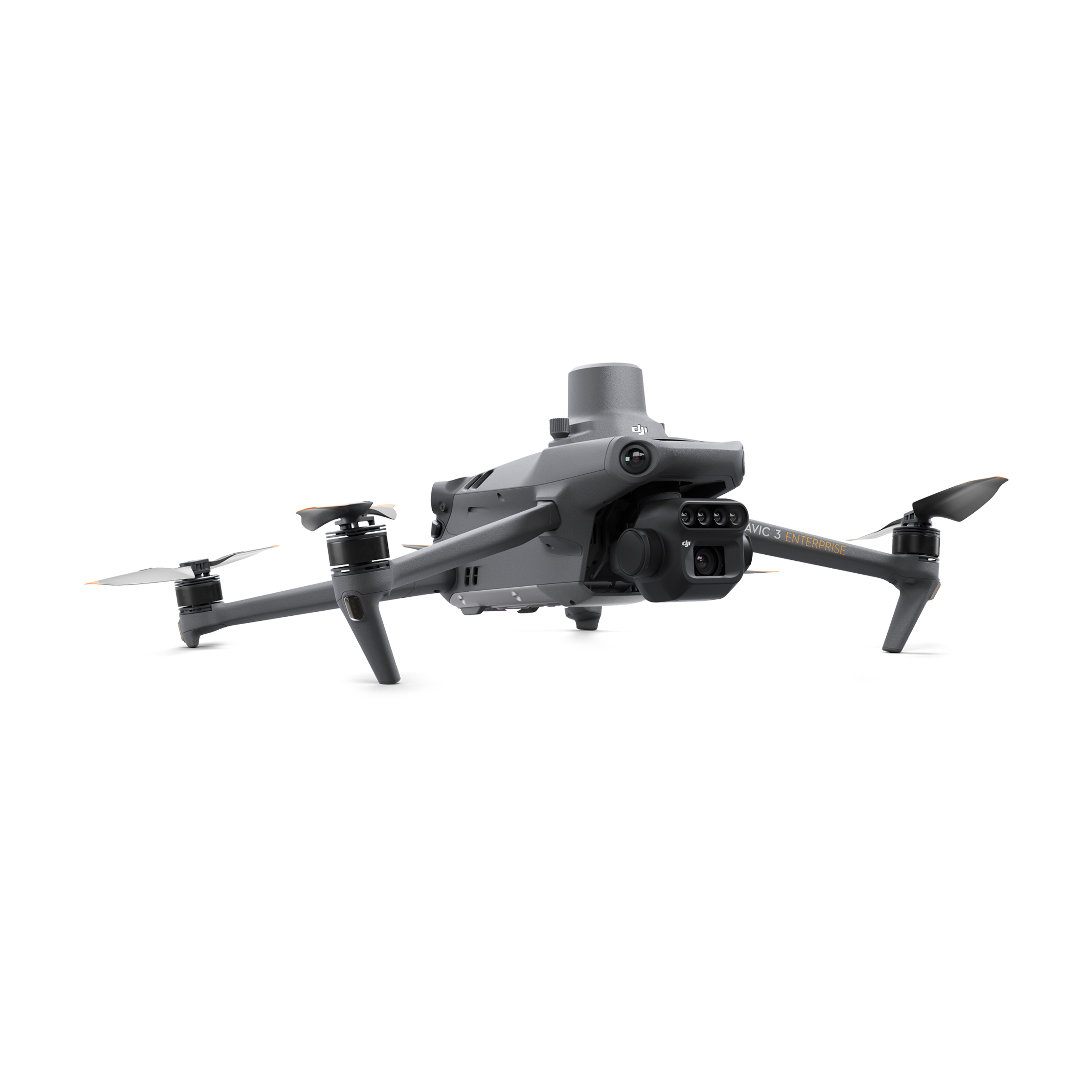
The DJI Mavic 3 Multispectral Edition aerial sur...
A balance of power and portability delivers higher operational effi...
Vision Beyond Darkness