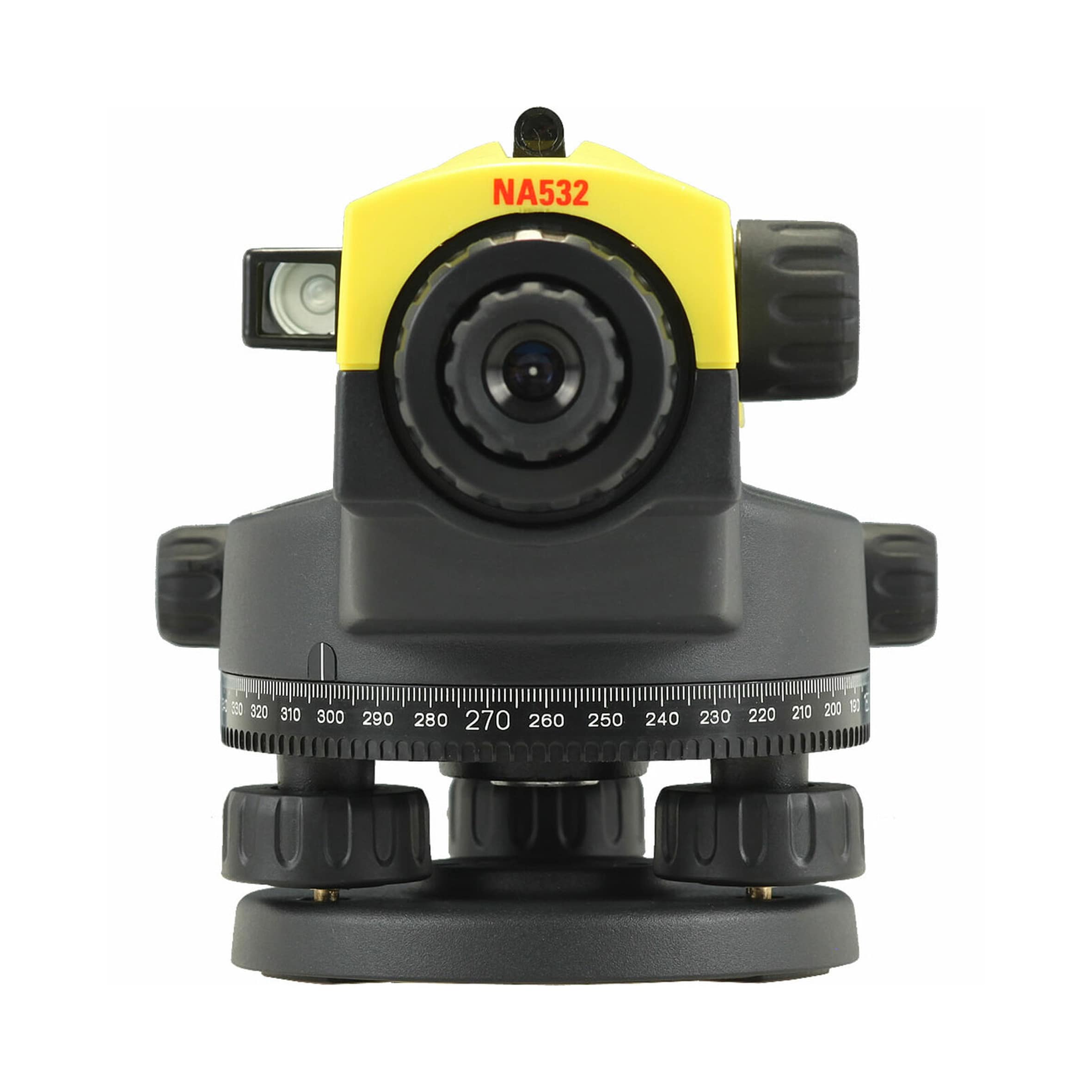
Reliable levels for accurate measurements and high quality results<...
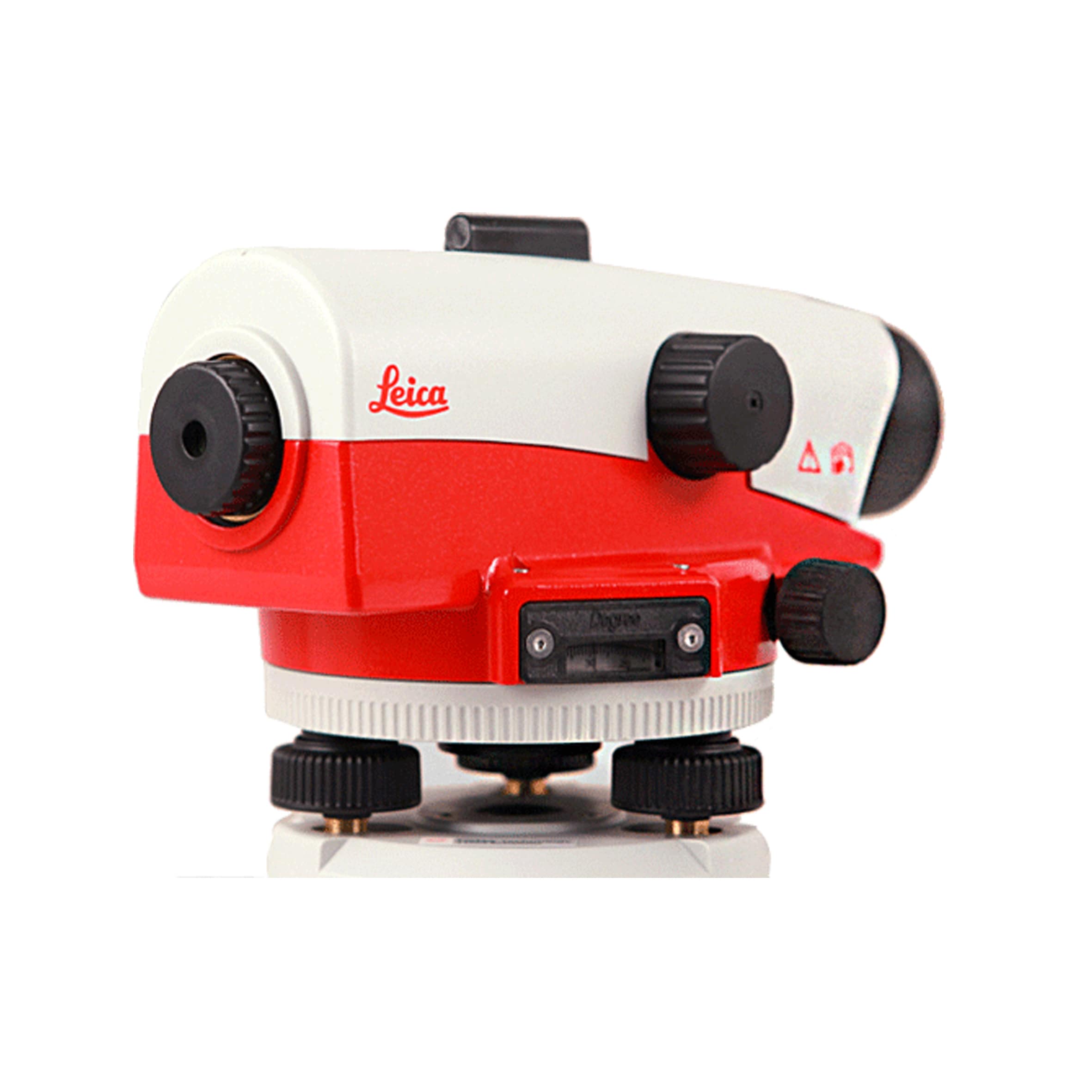
Professional automatic levels for contractors and surveyors
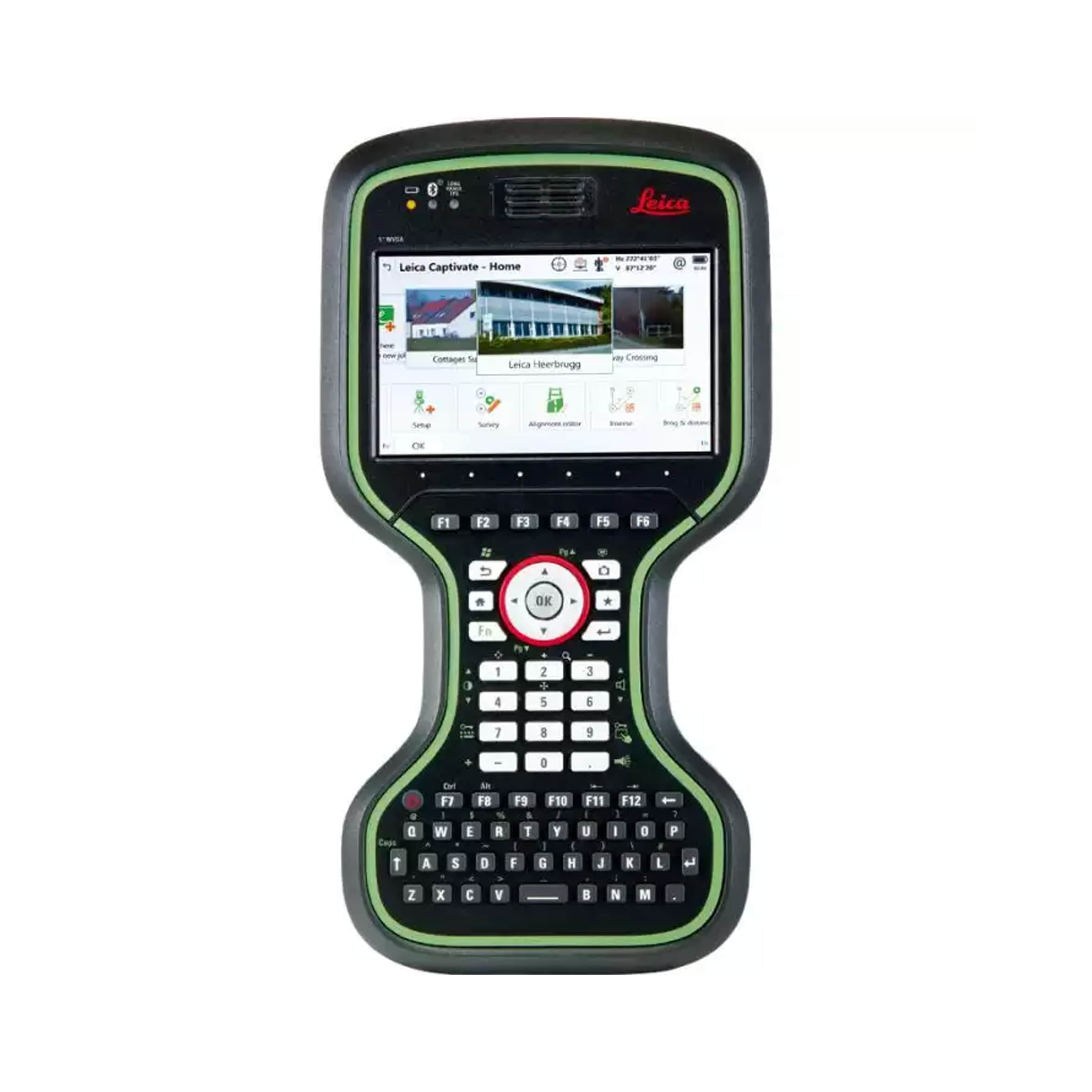
Wider screen, clearer data-power in your hands
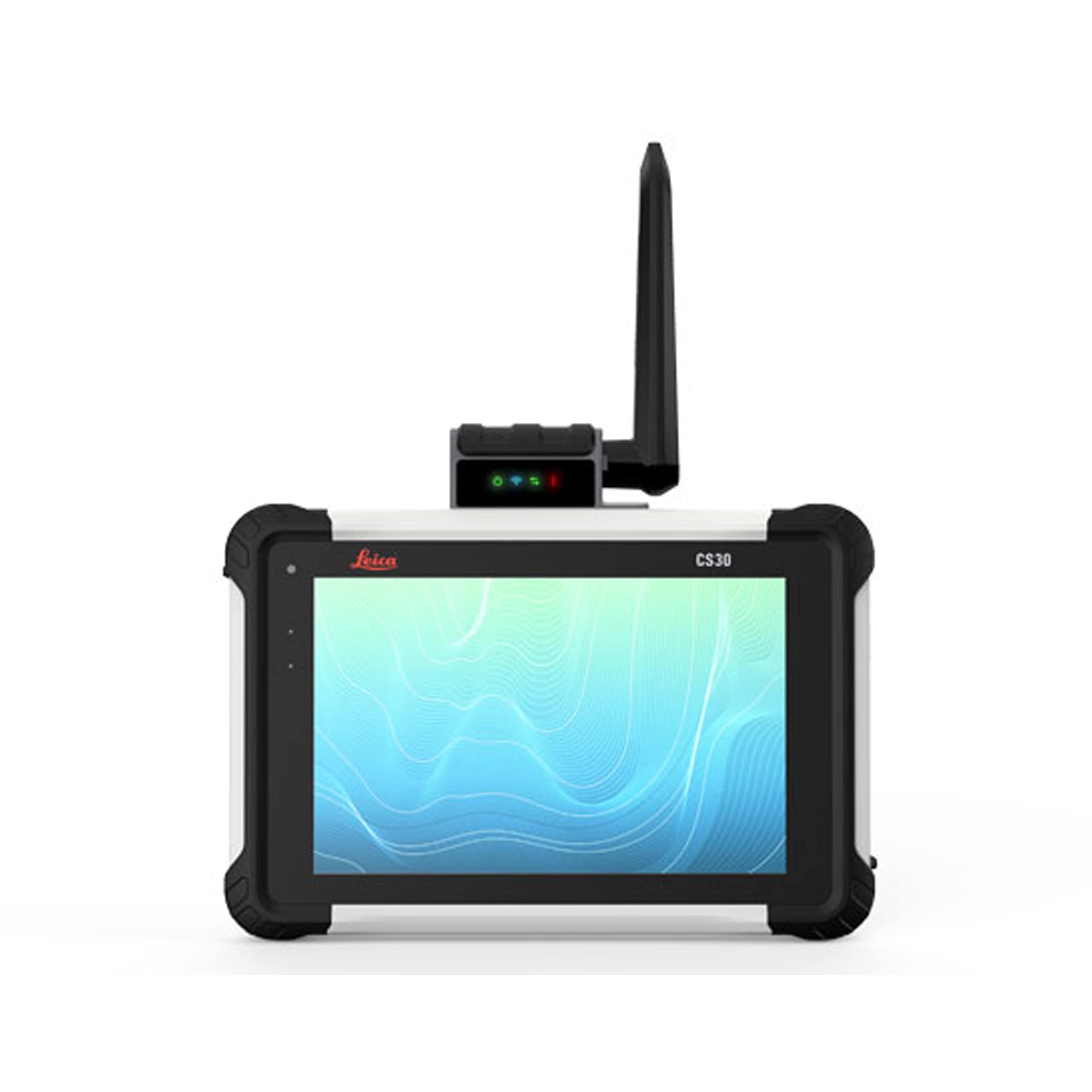
Get survey-proof
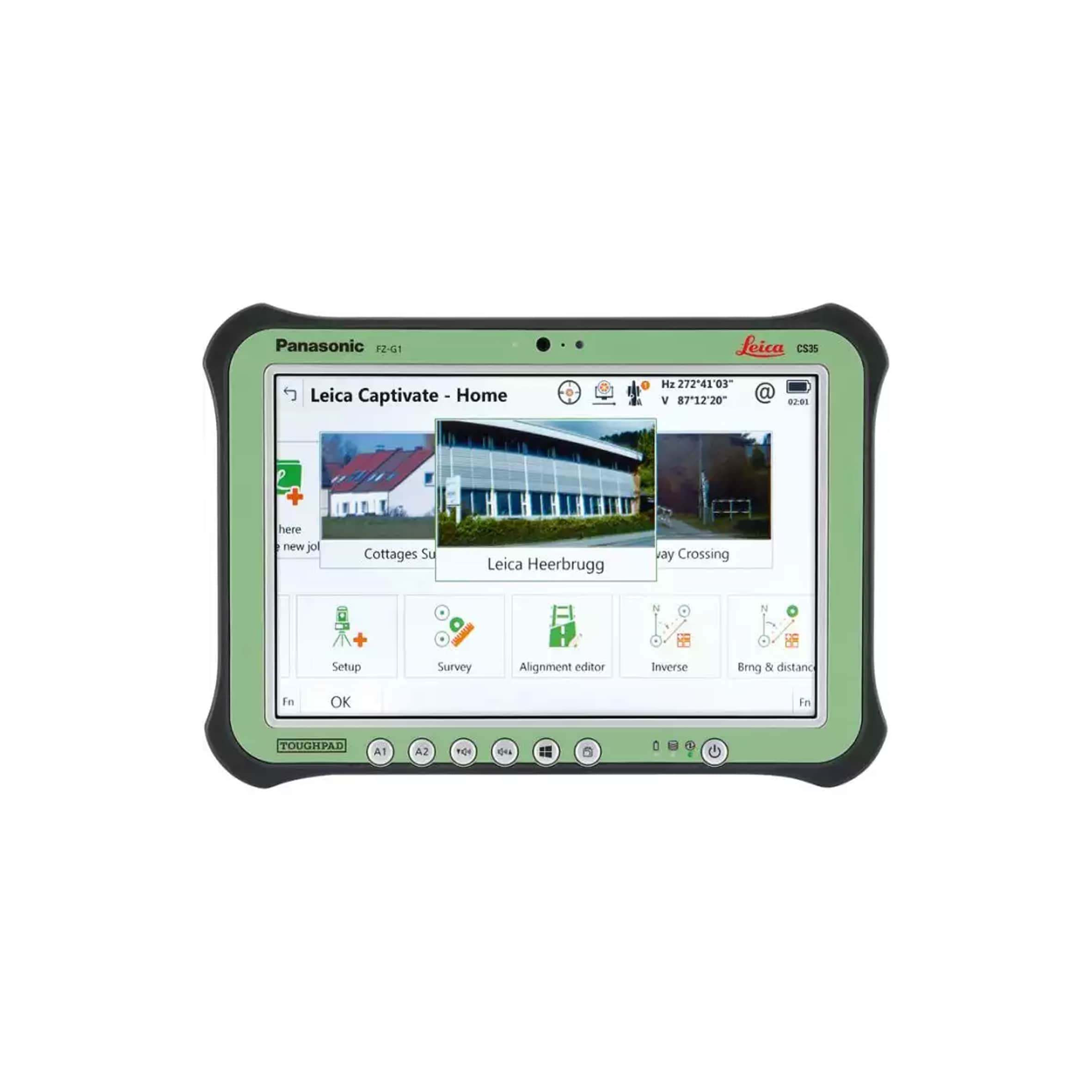
Wider screen, clearer data, power in your hands
.png)
Plan. Capture. Deliver.
Bring Images And Data To Life
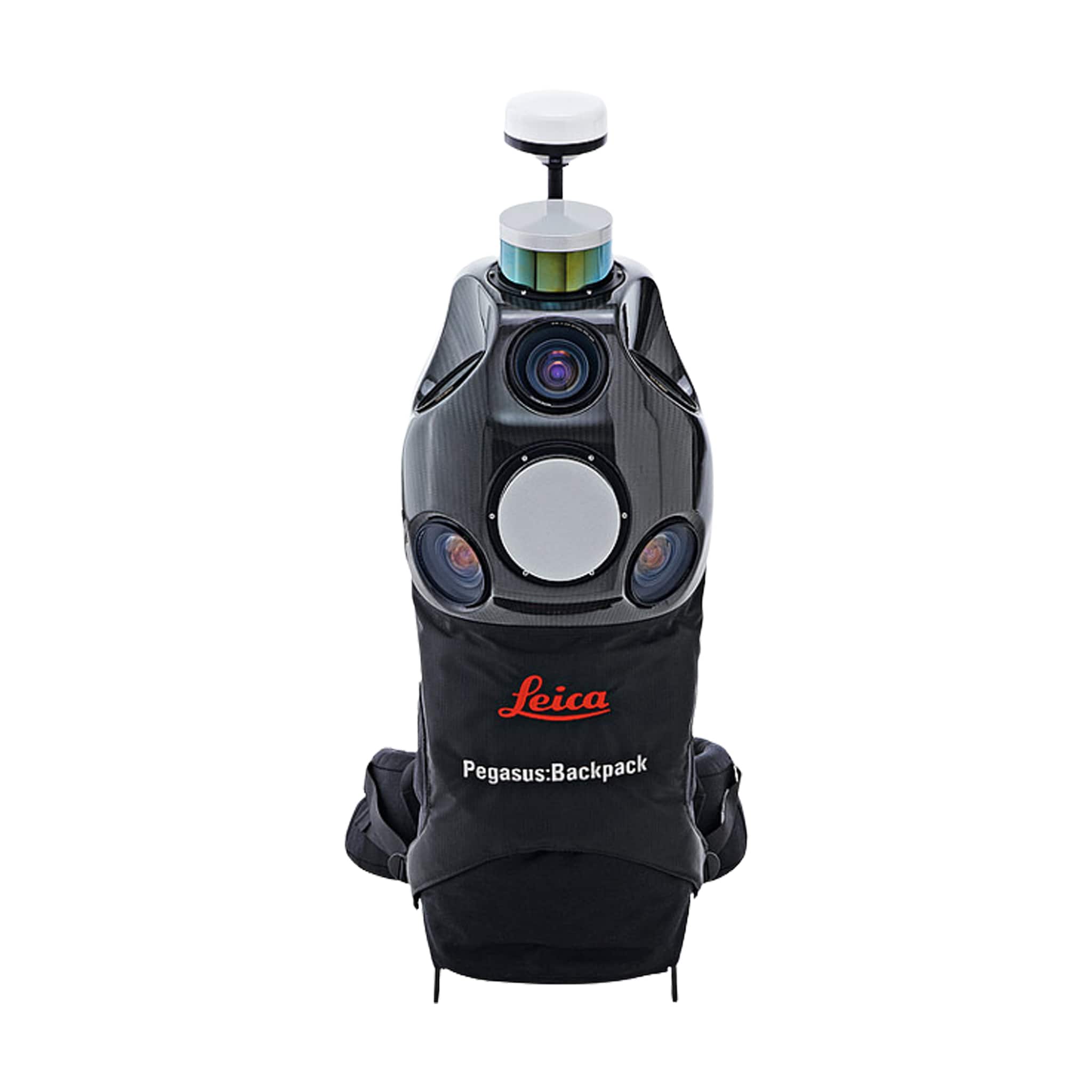
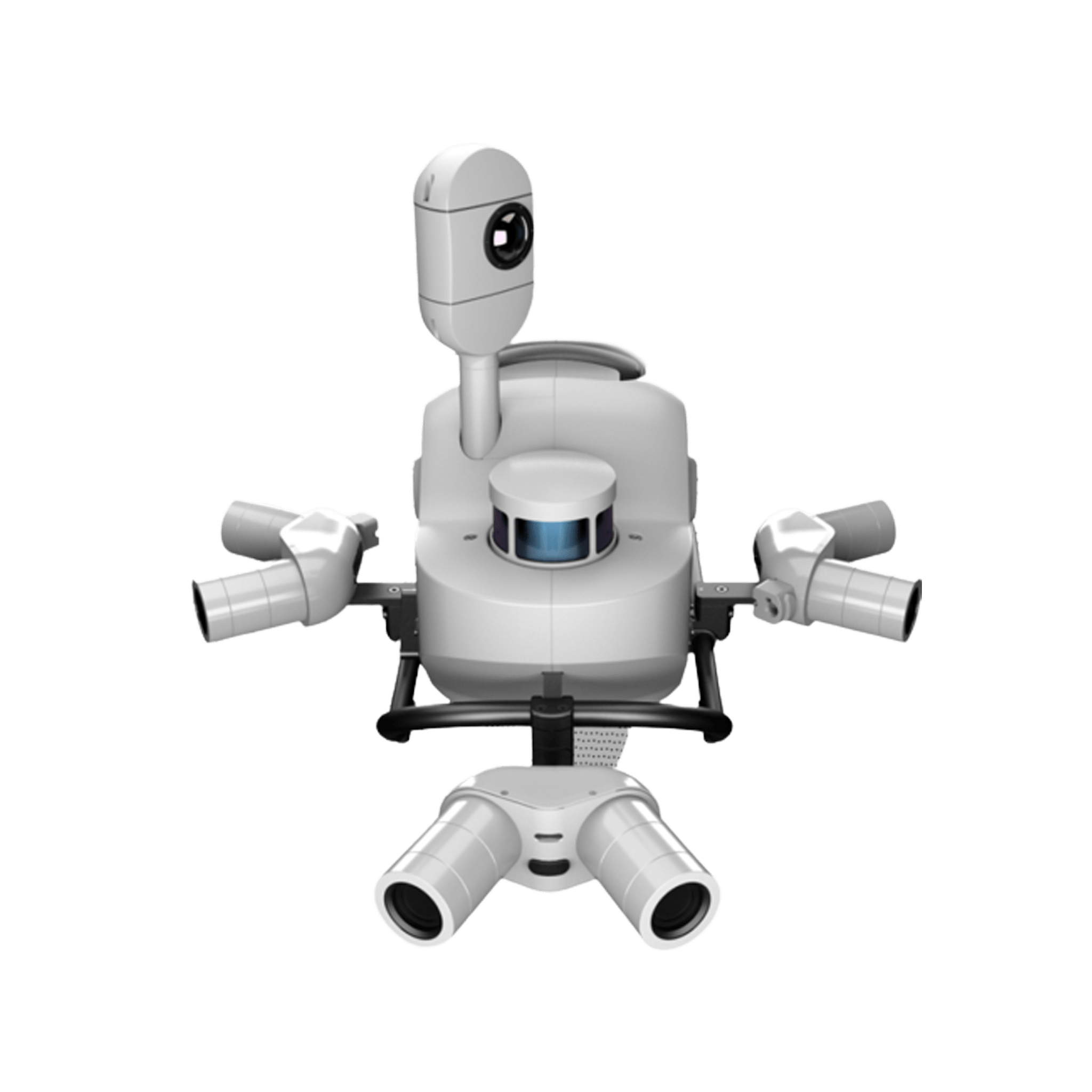
Versatile and wearable platform for indoor & outdoor reality ca...
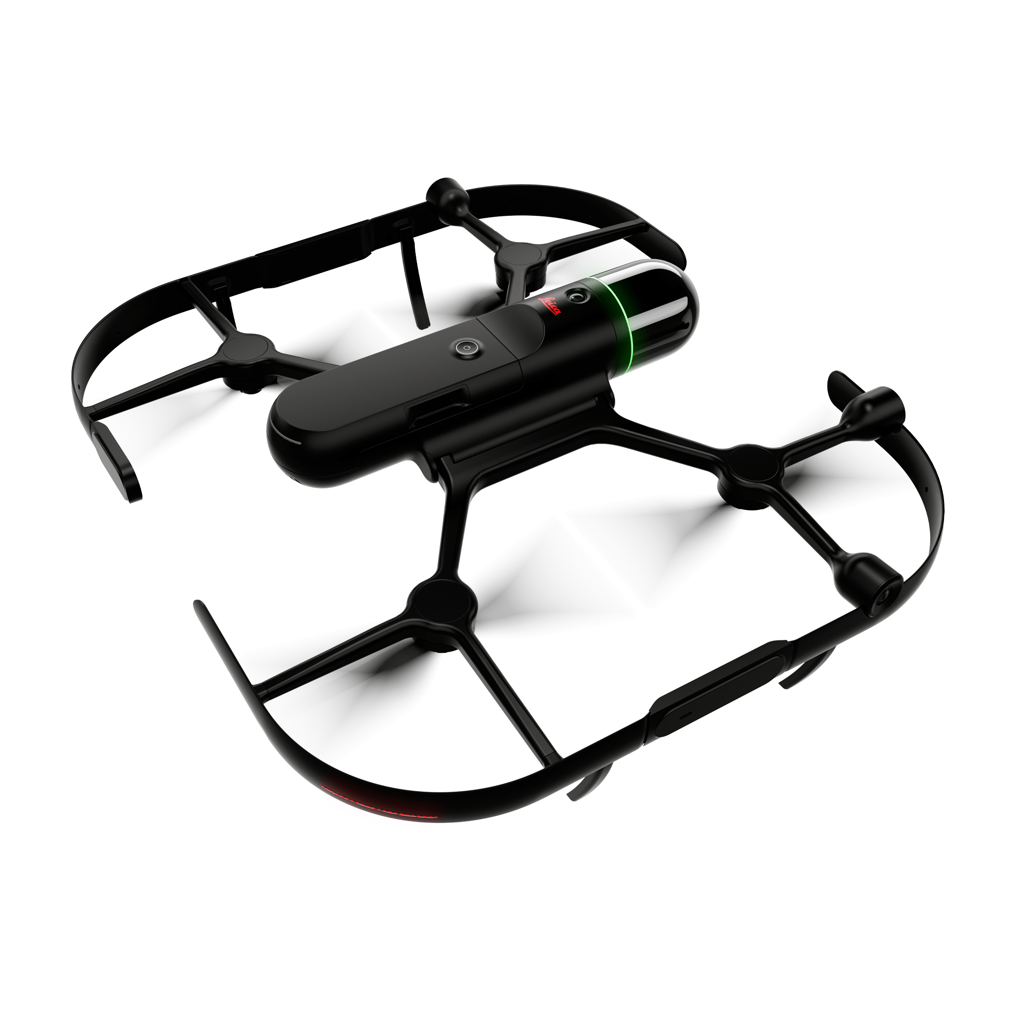
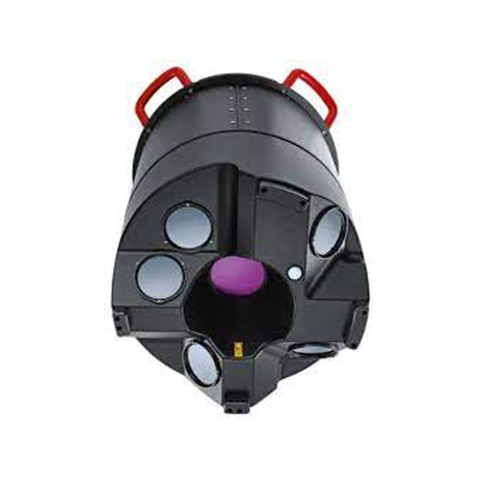
The new airborne mapping solution for efficient large scale geospat...
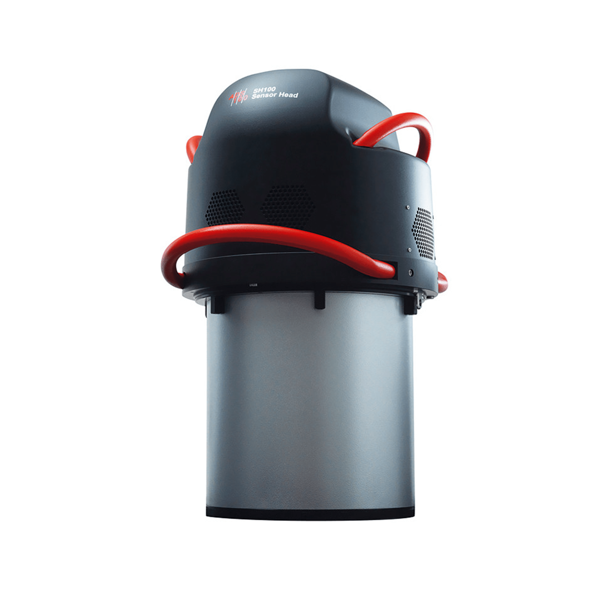
Higher acquisition efficiency, increased image quality, reduced fli...
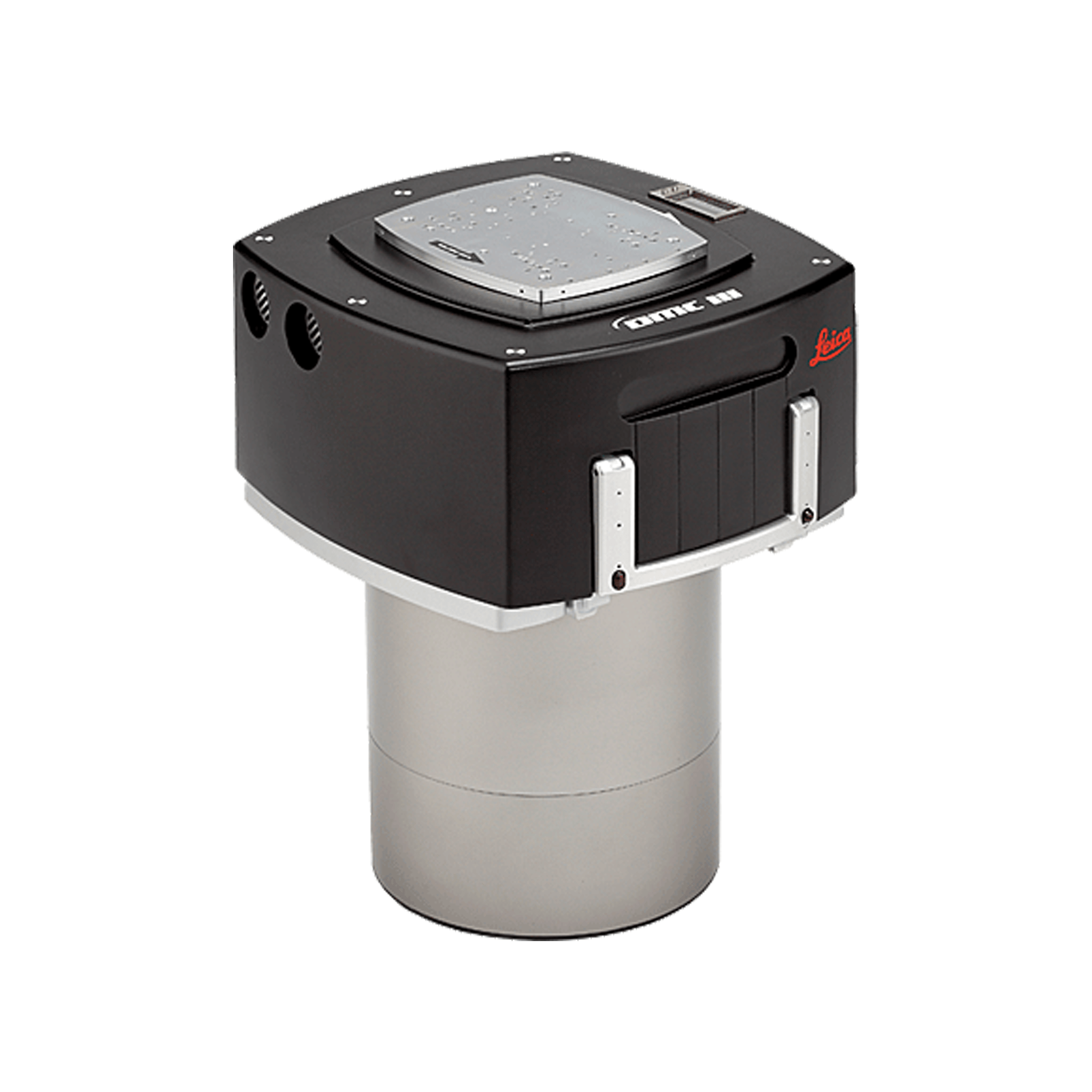
Large format airborne camera for wide area mapping
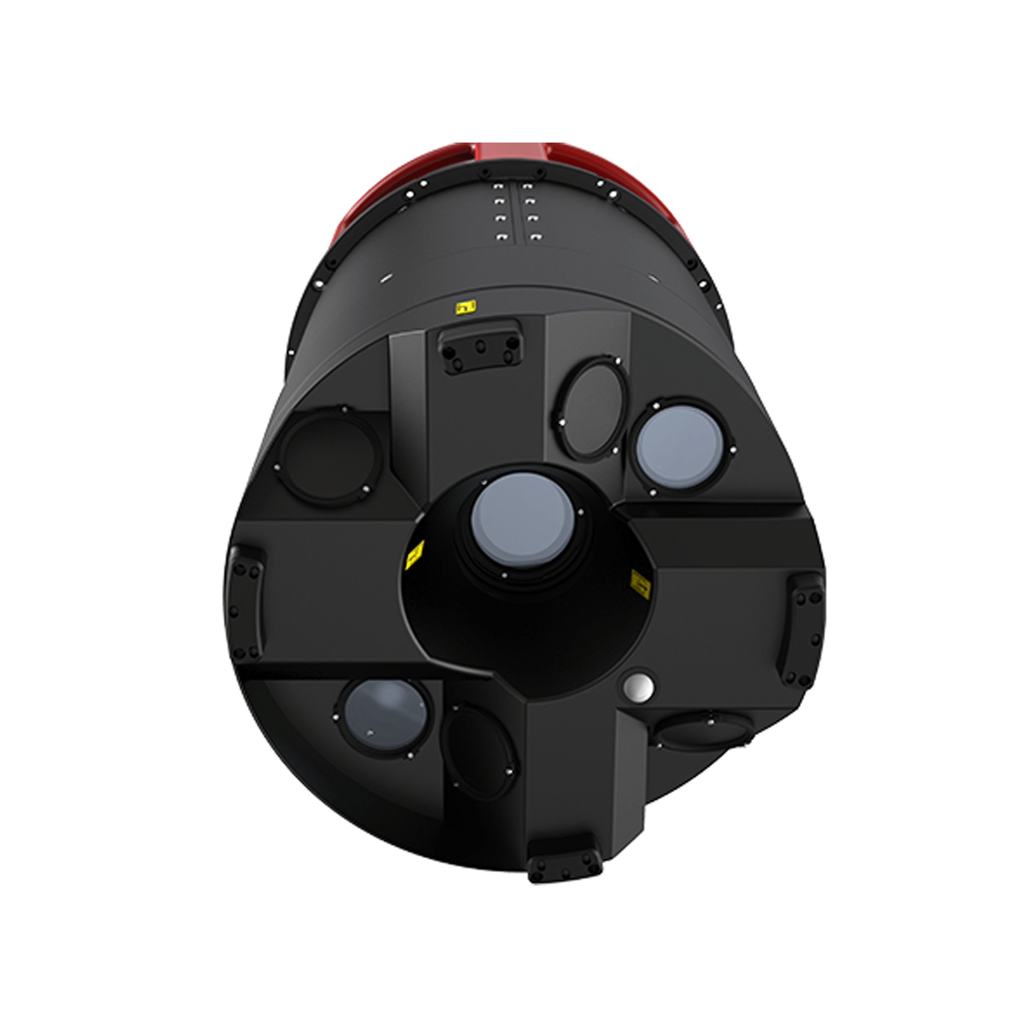
Modular and scalable airborne mapping solutions for complex LiDAR p...
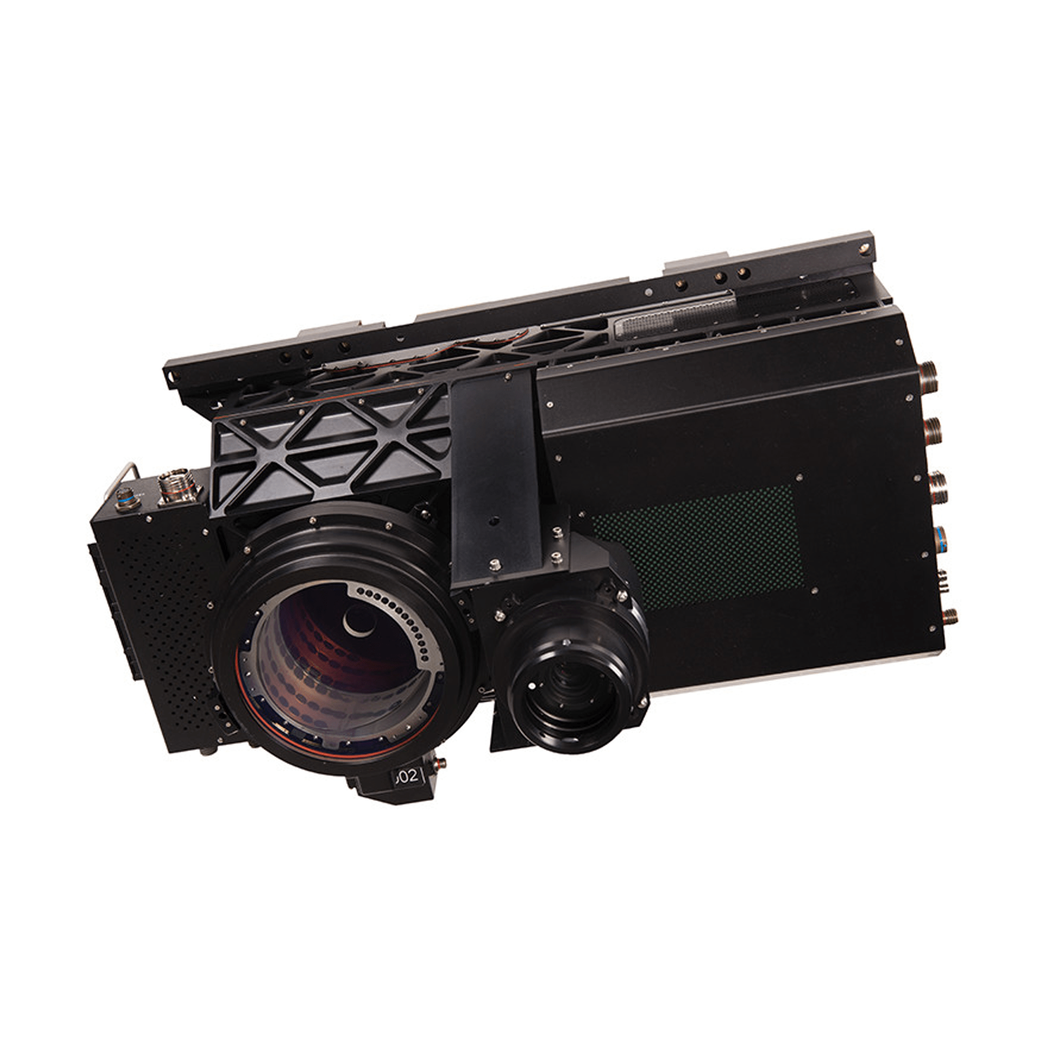
Captures LiDAR data over large areas at the lowest cost per data po...
Superior point density and depth penetration for coastal and inland...
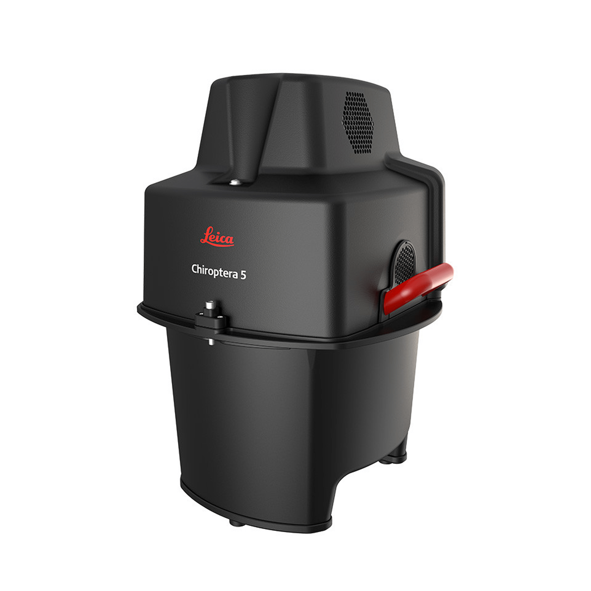
The most efficient and powerful sensor for deep bathymetric surveyi...
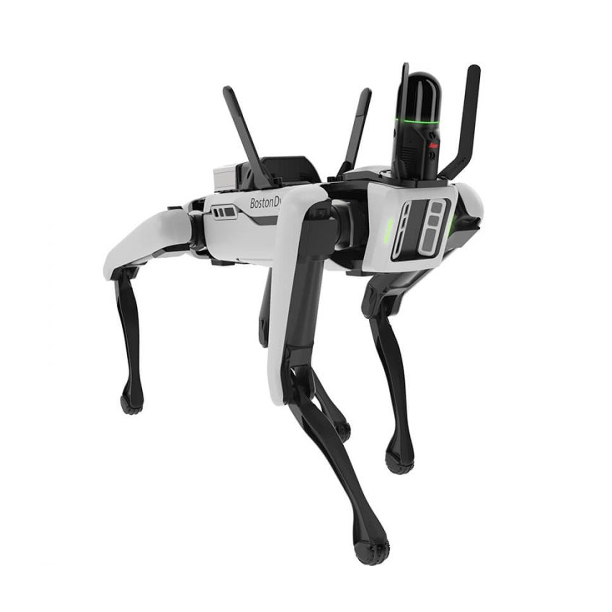
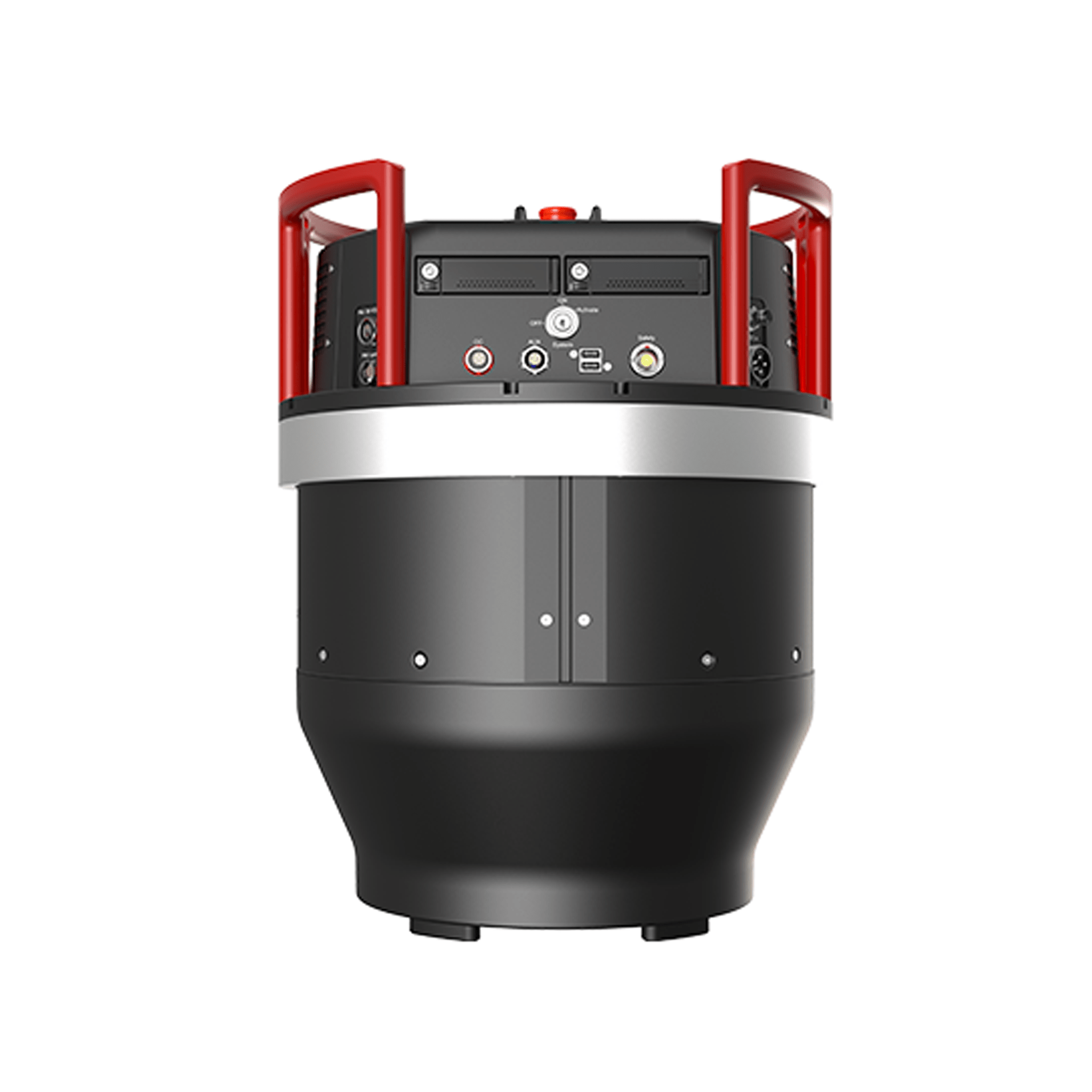
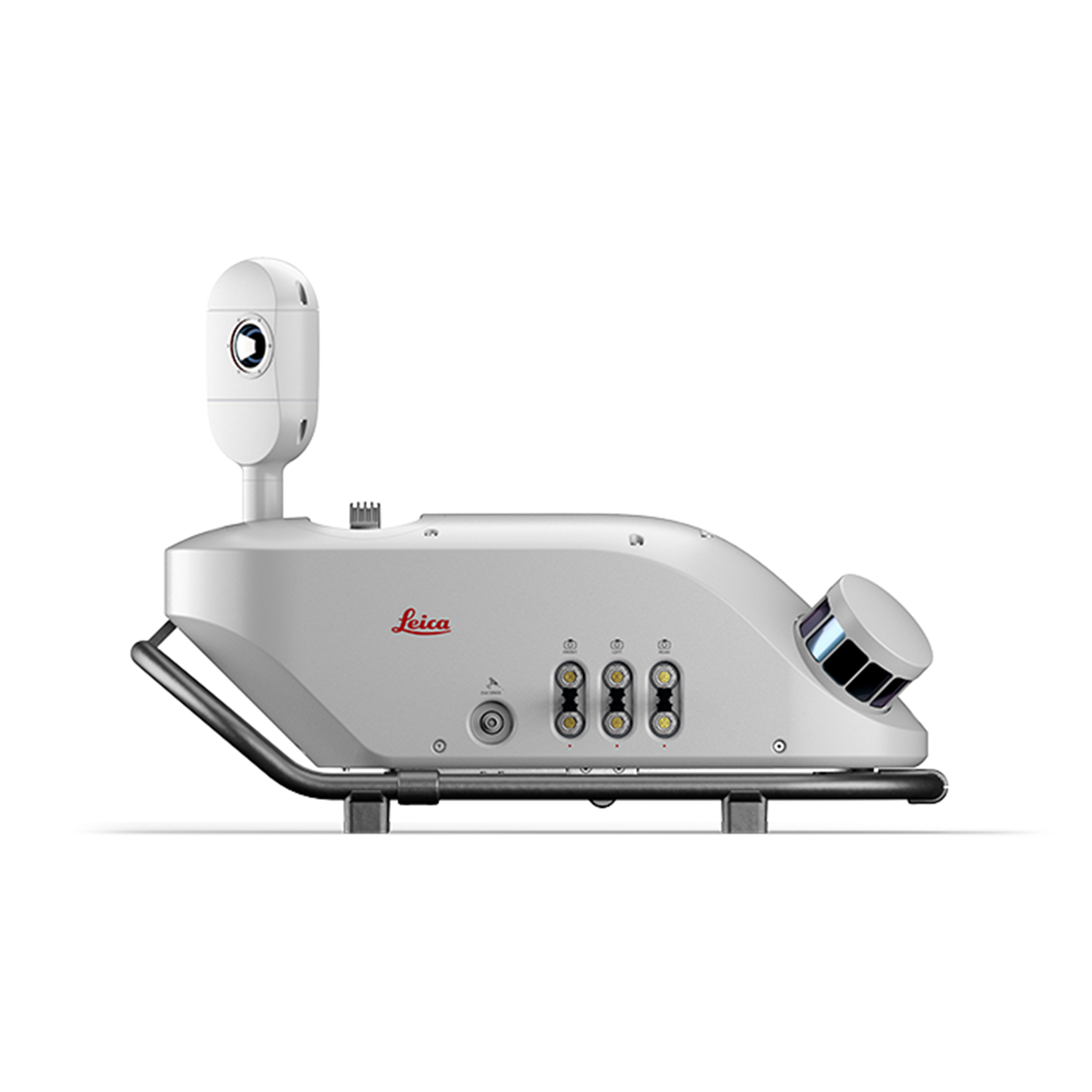
Autonomous Reality Capture for Robots
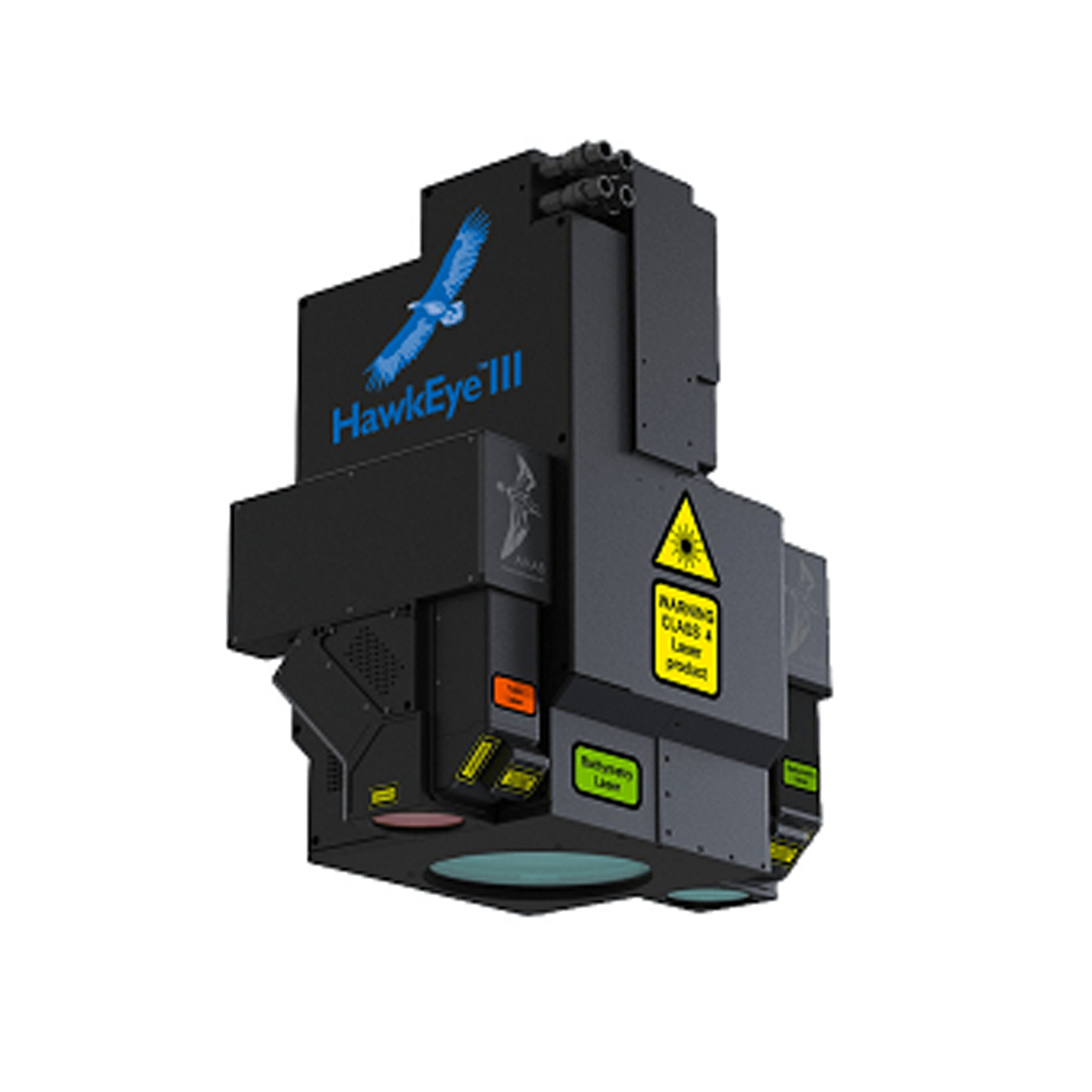
World’s first fully integrated autonomous LiDAR UAV
For fast and efficient digitization of cities, this hybrid oblique...
Unique smart system that boosts on-site productivity.
An accurate, compact and flexible solution for everyone
With the introduction of the unique MatchPoint technology, the Leic...