WorldDEM™ / WorldDEM™ Neo
The next level of global Elevation Data
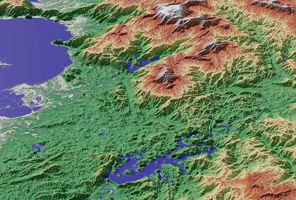
With unique data quality and level of detail, both elevation models facilitate a wide range of applications such as line-of-sight analysis, hydrological modelling, satellite imagery orthorectification, and much more.
Worldwide availability makes them the most robust reference layers for risk assessments and investigating global phenomena.
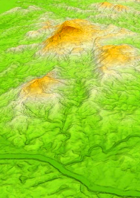
Accuracy of a new dimension and unique data quality for all global applications
WorldDEM Neo sets a new standard for global Elevation models in terms of resolution and up-to-date, fresh data acquisitions (2017-2021), combined with high quality and accuracy from the well-established WorldDEM.
- Up-to-date global coverage (pole-to-pole)
- Very high resolution: 5m pixel spacing for every spot on Earth
- Very high vertical accuracy (2m relative / 2.5m absolute)
- Off-the-shelf availability
Like all our elevation products, WorldDEM products are available as:
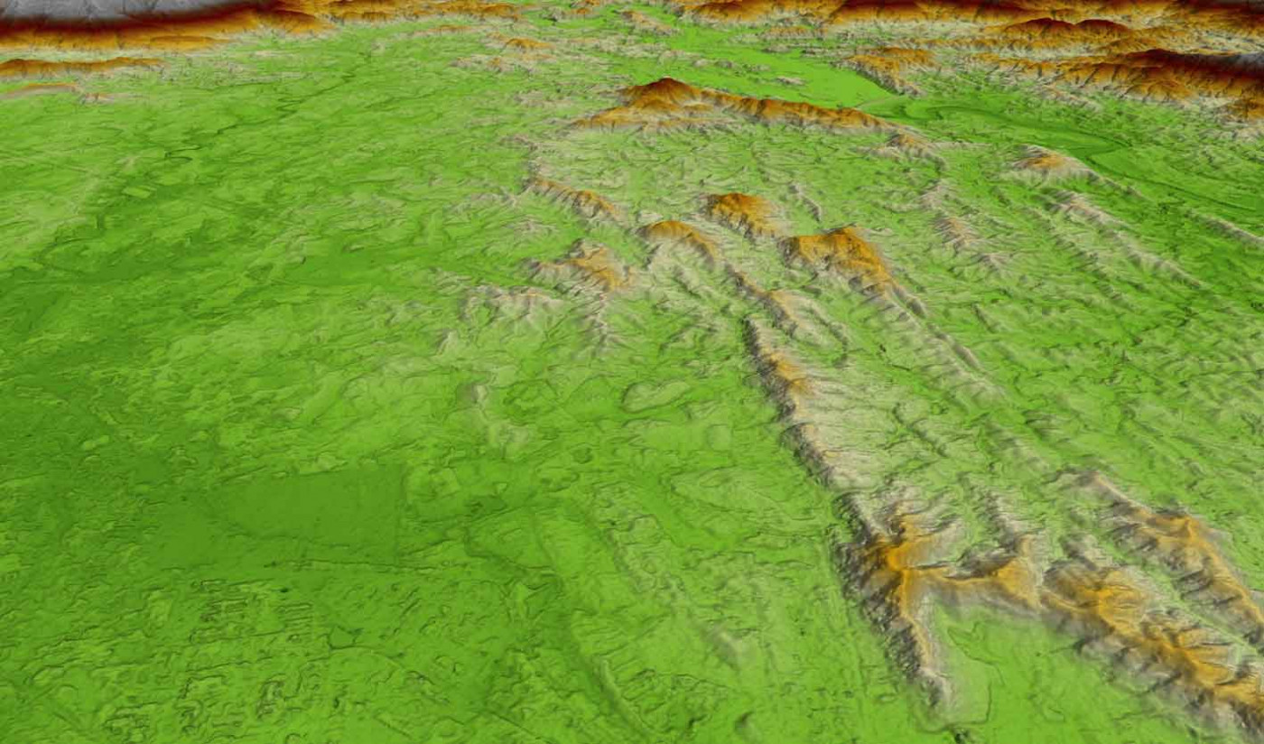
- DSM = Edited Digital Surface Model including editing of terrain features and with assured hydrological consistency
- DTM: Derived from the WorldDEM™ Digital Surface Model (DSM) product by removing vegetation and man-made objects to show the bare terrain of the Earth’s surface.
This high-quality Digital Terrain Model (DTM) provides a foundation layer for applications such as civil engineering (e.g. road design, Earth work calculation), the management of natural resources as well as planning and implementation of military operations (e.g. vehicle trafficability analysis, 3D terrain visualisation).