
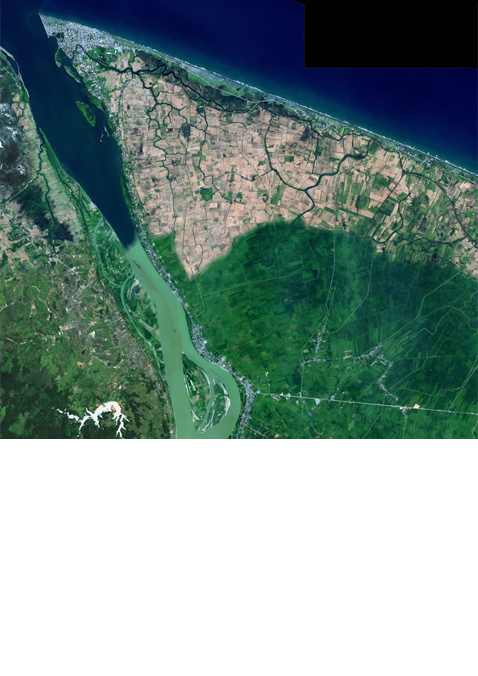


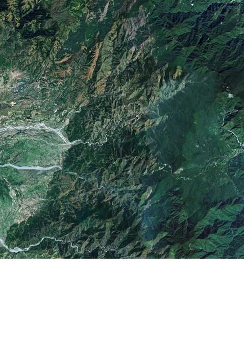
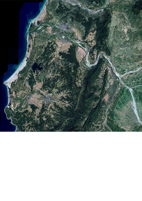
Spot 6
SPOT 6 is designed to efficiently cover huge areas in record time, making it a perfect choice for cartography and monitoring applications.
Our One Tasking offer works seamlessly with SPOT, Pléiades Neo and Pléiades satellites, allowing you the flexibility to choose the most suitable service for your requirements and project timelines.
Key Features
- Stereo and tri-stereo capacity
- Daily revisit anywhere
- Maximum acquisition capacity of 3 Million km² per day per satellite
- Ideal for 1:25,000 topographic mapping: Feature extraction (2D & 3D stereo plotting, geometric accuracy down to 1.2m CE90, elevation and contour lines)