-min.png)
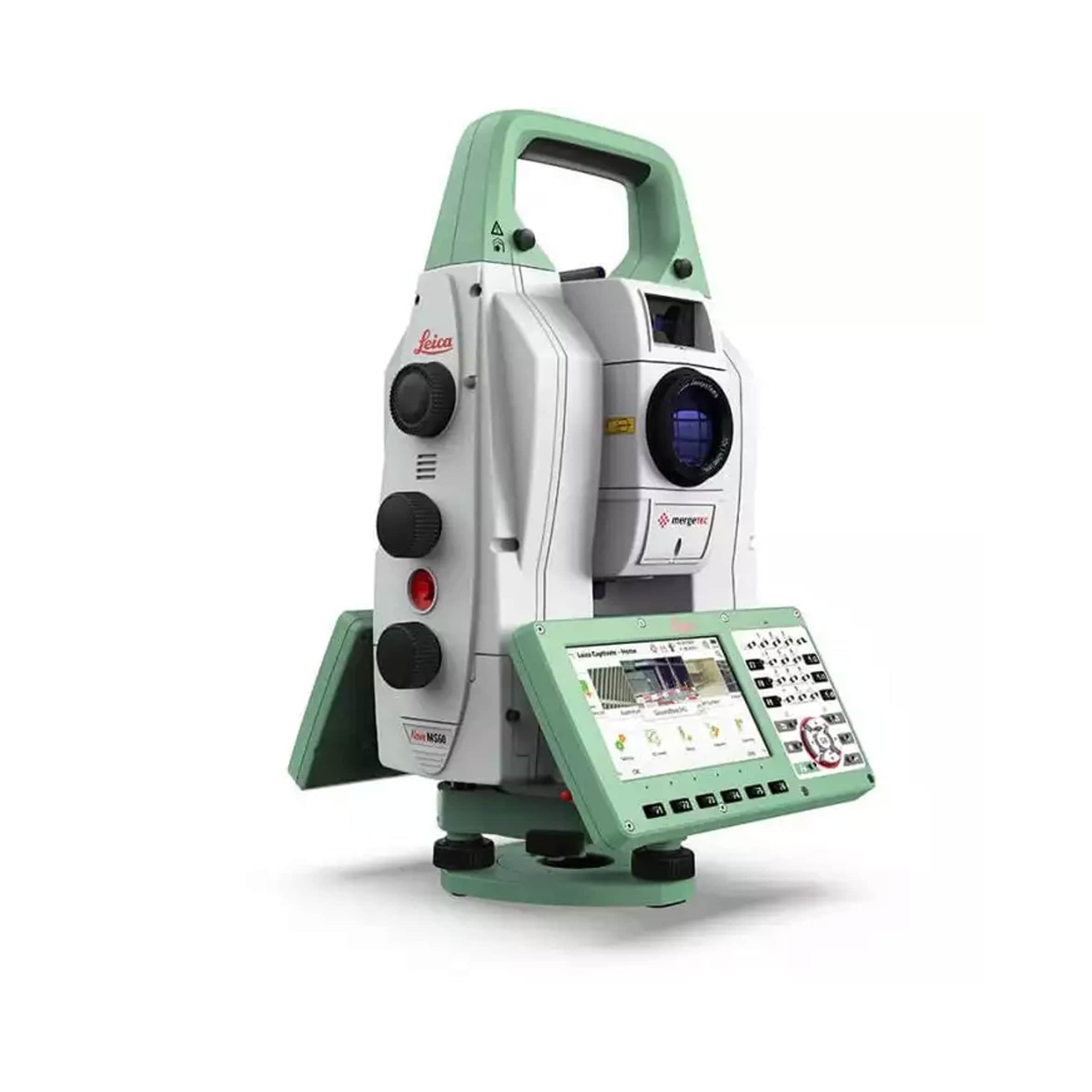
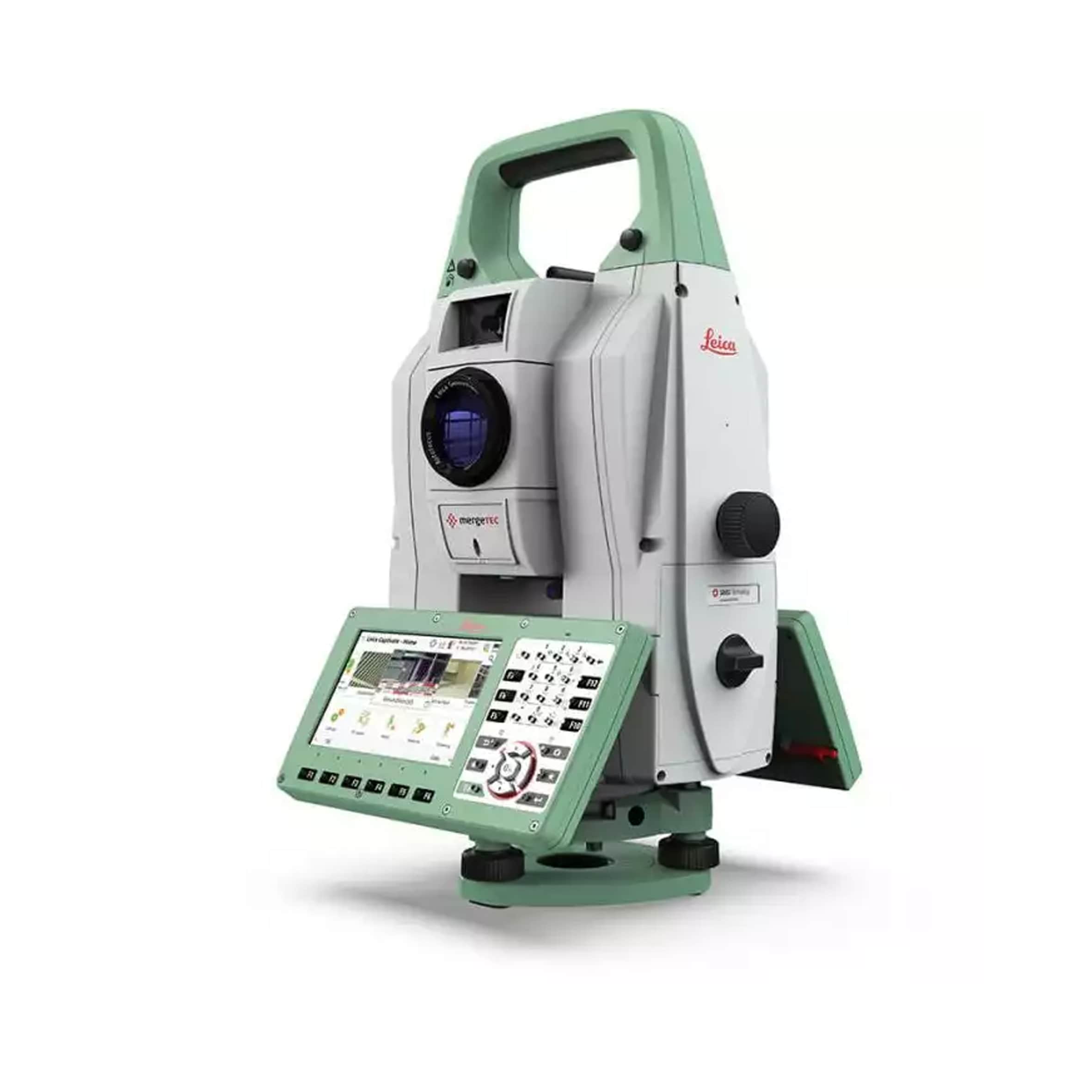
Leica MS60
The ultimate all-rounder, combining total station functionality with 3D laser scanning, GNSS connectivity and digital imaging
- Surfaces and volumes in construction and mining: spoil heaps and stockpiles, DTM creation and checking surfaces, material thickness, blast faces and ground levels
- Analysis of complex structures and objects within plant, marine and utility projects: dimensional control, as built and record keeping
- Measuring buildings and structures: bridge condition/clearance analysis, BIM and as built
- Façade, elevations and heritage work: creation of traditional façade deliverables, 3D models and photographic documentation
- Traditional topographic surveys for surveying and mapping: creation of traditional deliverables like 2D maps or 3D models
- Monitoring measurement and analysis of ground and structures: real-time or periodic measurement of bridges, dams, buildings and earth, ice and snow