-min.png)
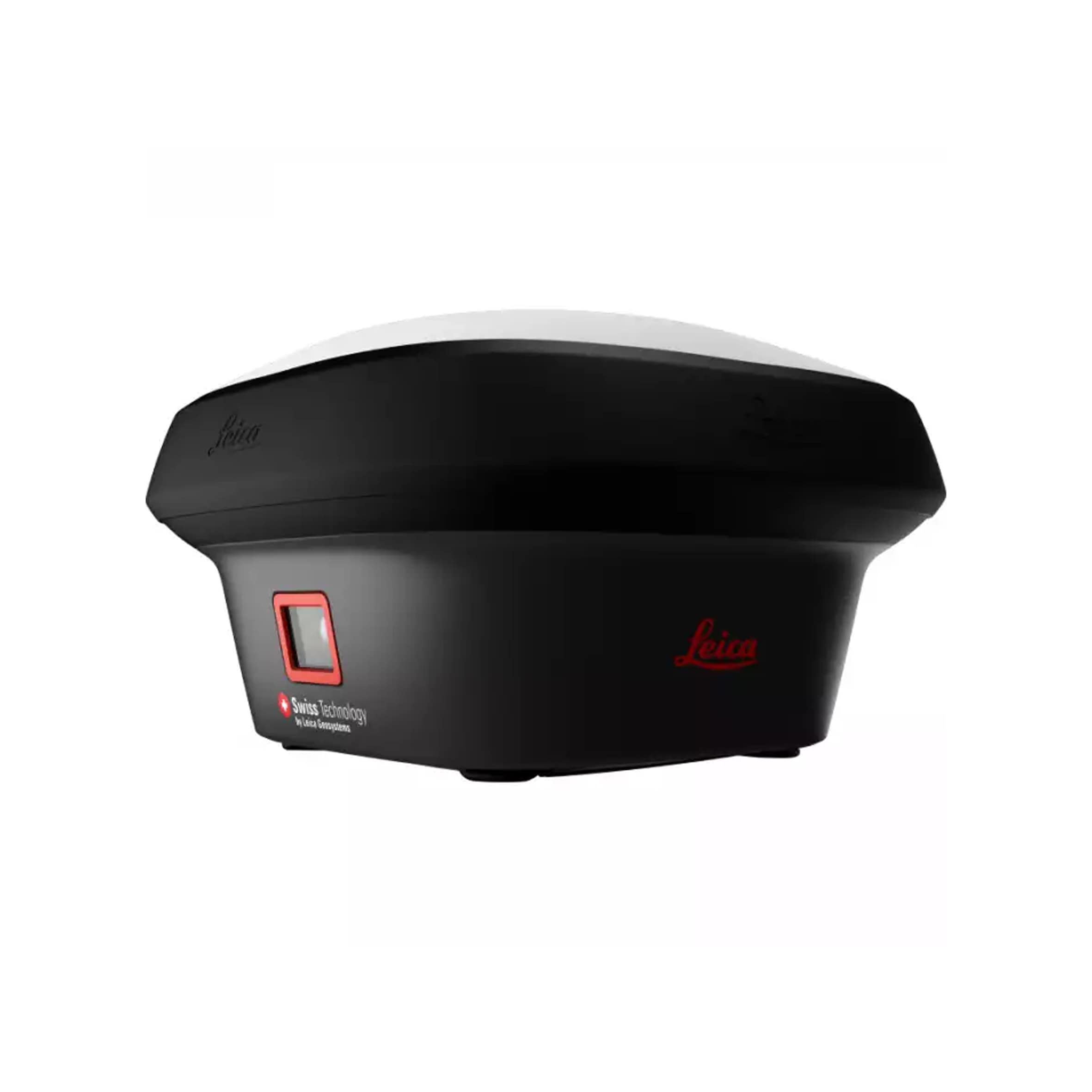
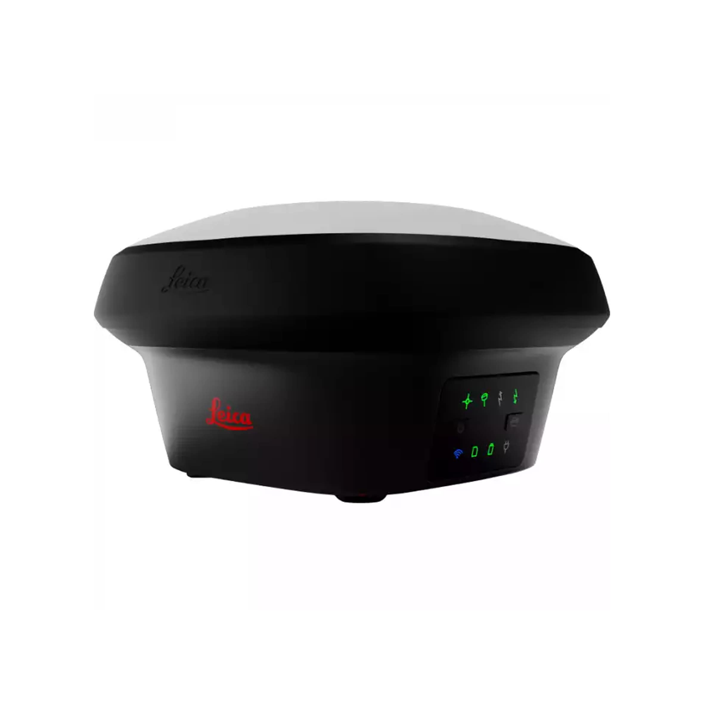
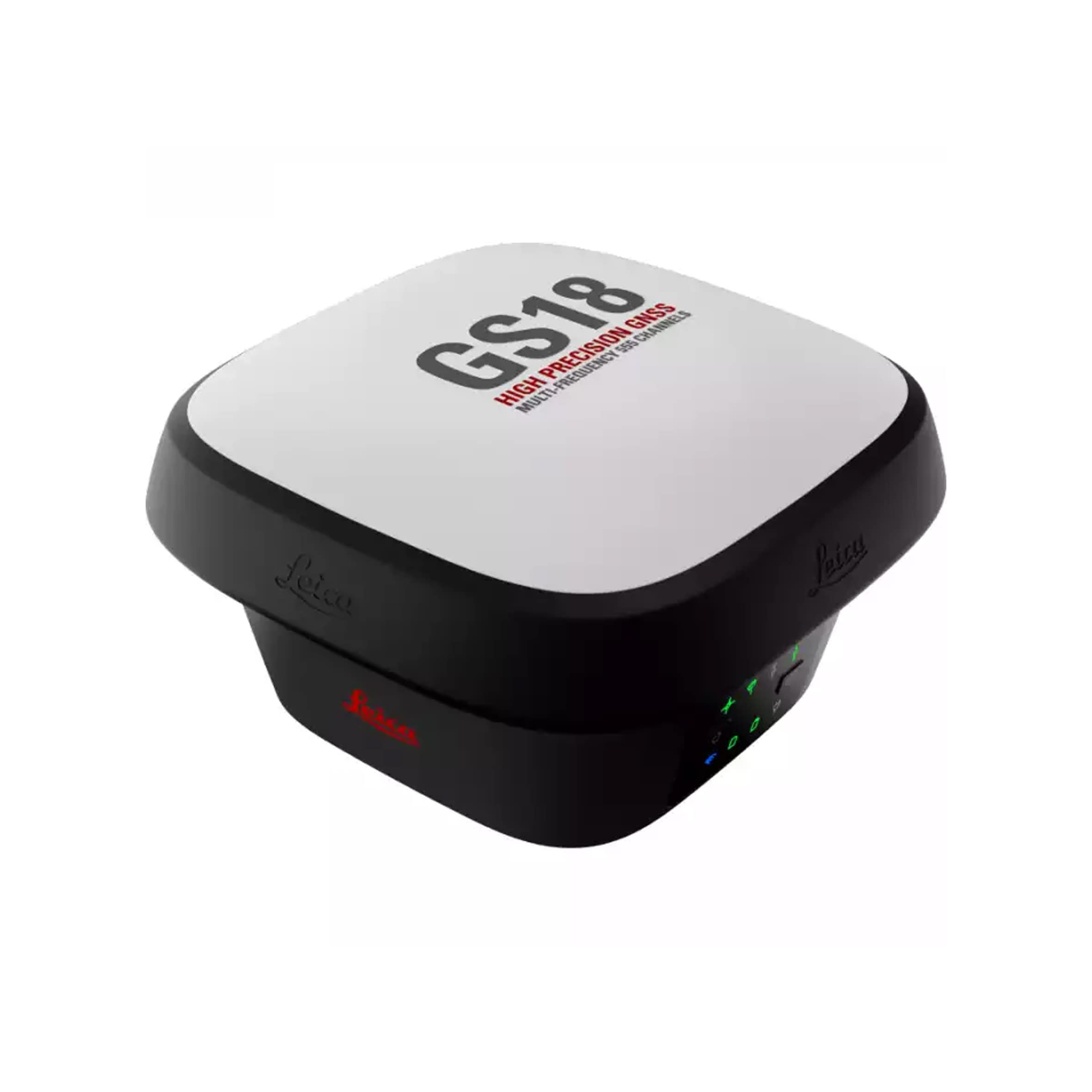
Leica GS18 I
Measure what you see
- Innovative - GS18 I is an accurate and easy to use GNSS RTK Rover. It utilizes highly innovative Visual Positioning technology based on seamless integration of GNSS, IMU and a camera. It enables you to measure points in survey-grade accuracy from images either in the field or in the office. Alternatively, create point clouds from captured images using Leica Infinity to expand possibilities even further.
- Fast - Designed to measure a large number of points efficiently. The GS18 I allows you to capture images and measure hundreds of points within minutes with no need to physically reach the point. Time spent on-site is reduced and revisits minimized - once the site is captured, you can measure all detail whenever you want to.
- Versatile - Imaging power has changed the rules of the game. By having the power to measure what you see, you can now reach places you couldn’t before without the need to switch tools or climb through obstacles. This gives you flexibility in the field, frees up equipment and crews, truly maximizes productivity, and increasing profits.