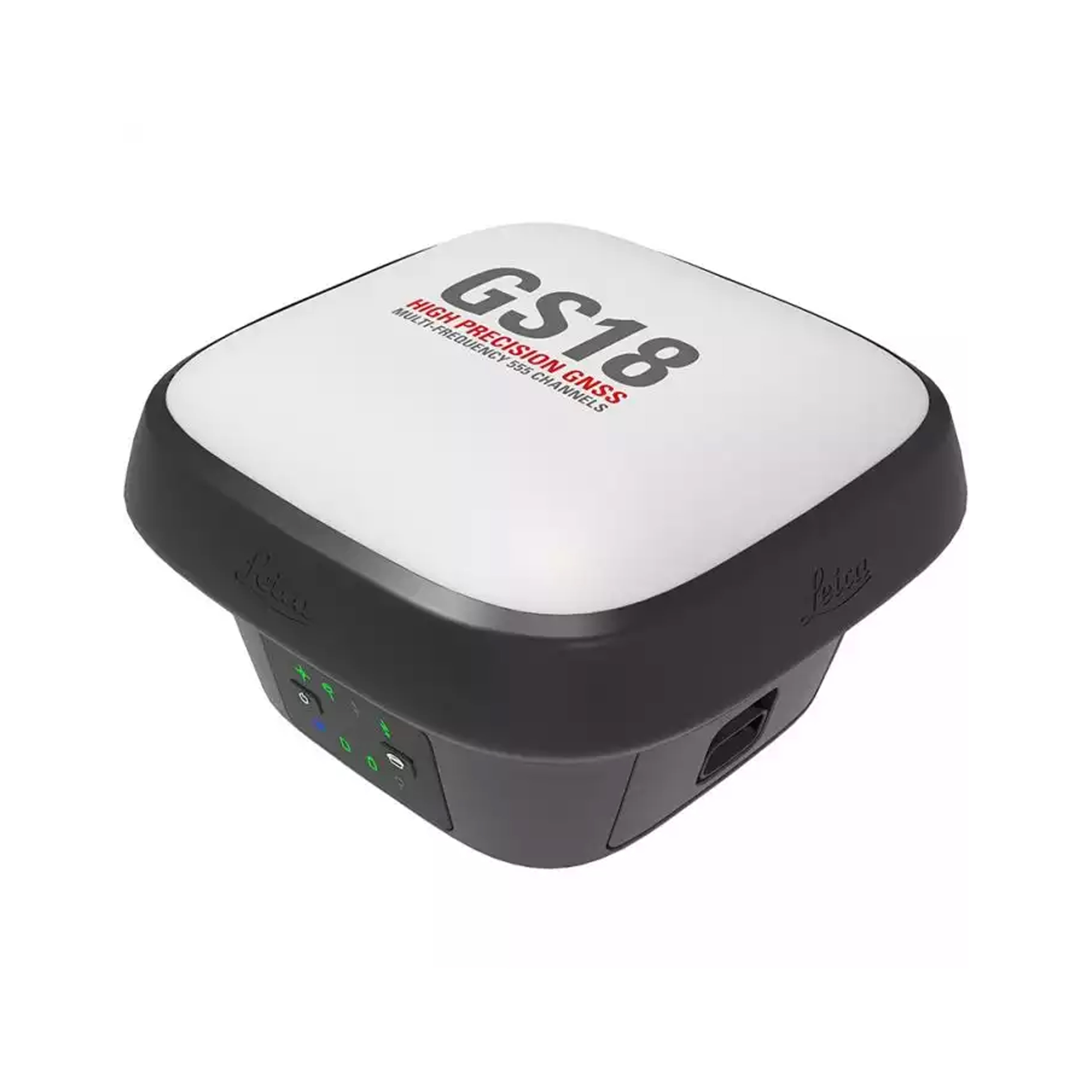

Leica GS18
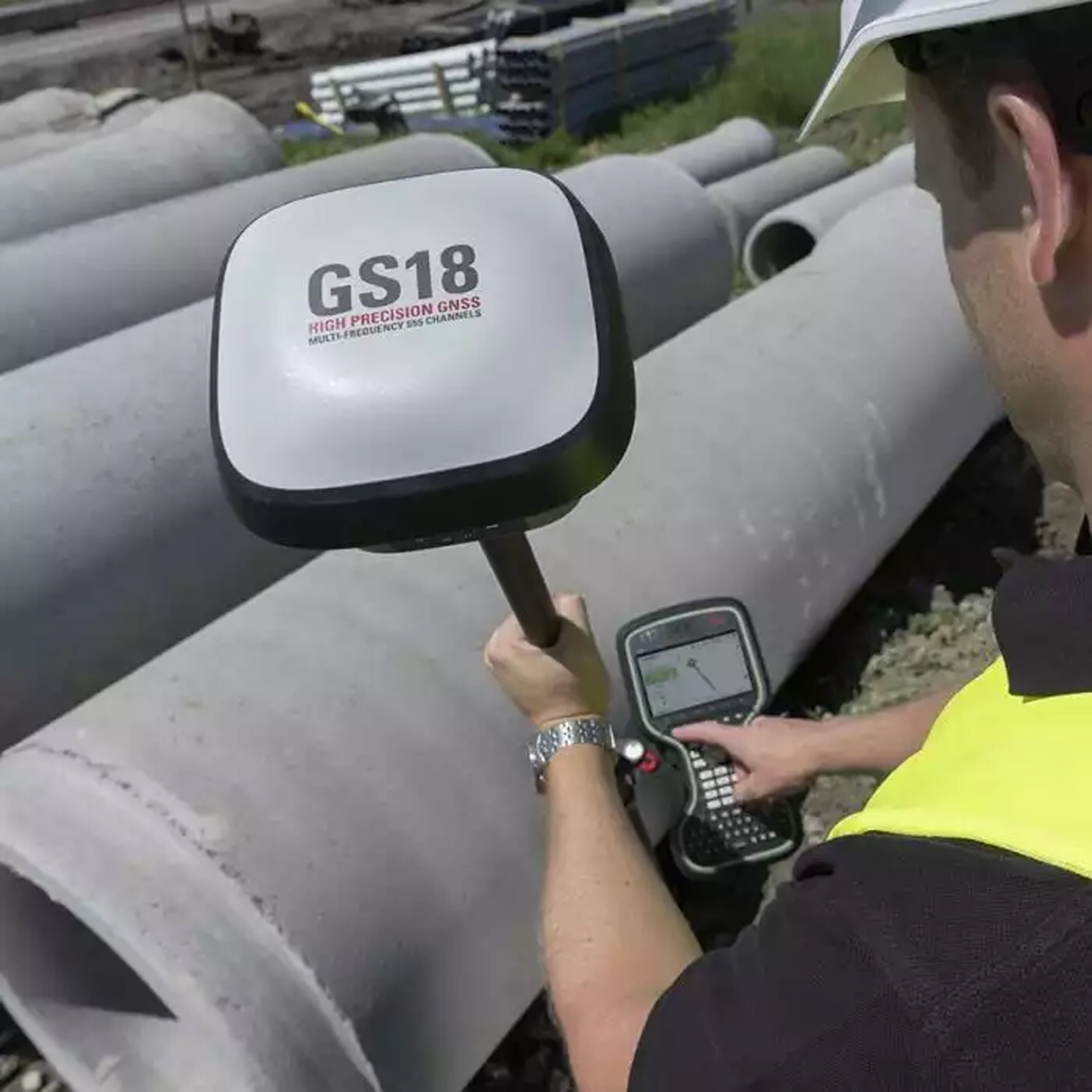
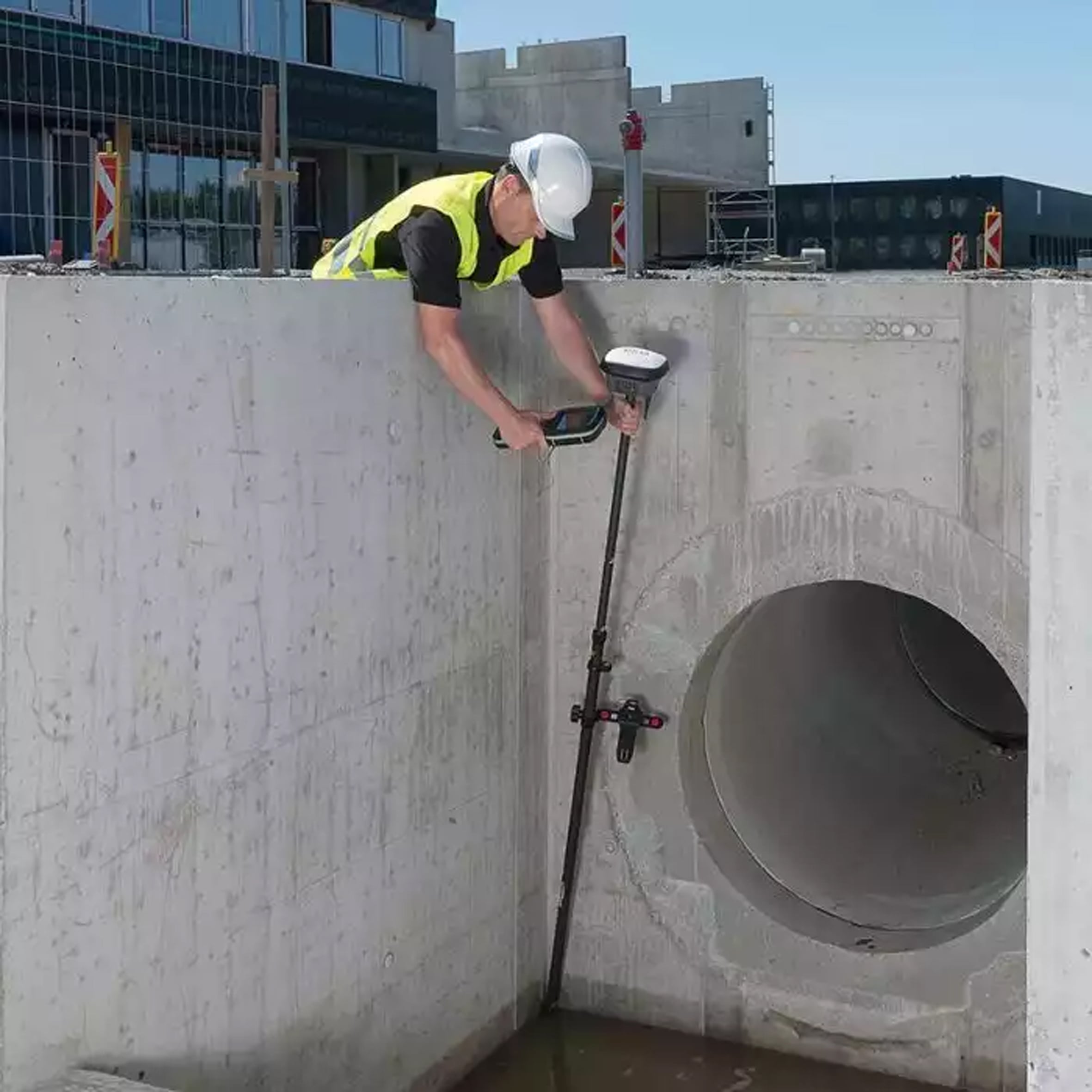
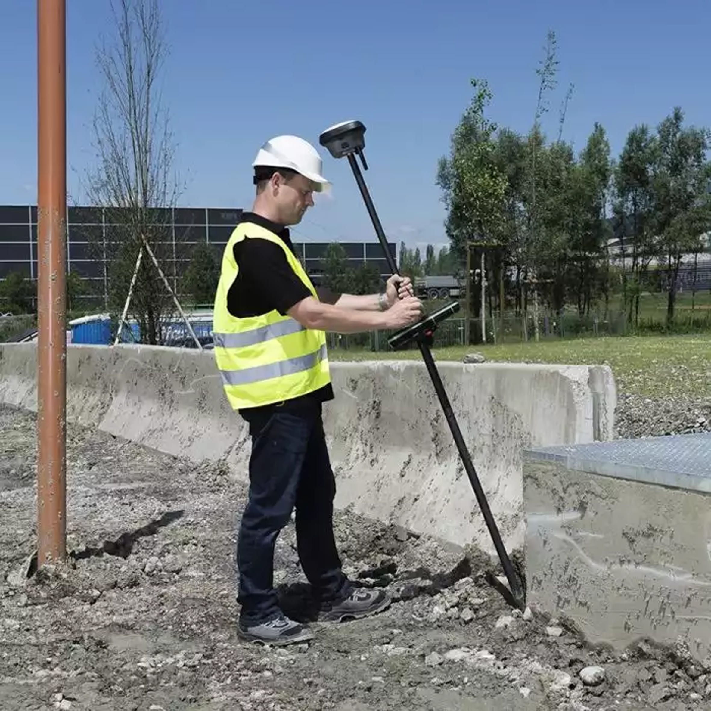
Measure what you see
- TILT COMPENSATION UPGRADE - Whenever you need the efficiency and safety improvements gained from tilted measurements, upgrade your GS18 to a tilt compensating rover.
- ENGAGING SOFTWARE - The Leica Captivate field software is the perfect companion for the GS18. With easy-to-use apps, all measured, and design data can be viewed and used, providing you with a clear understanding of your data in 2D and 3D view. Captivate spans industries and applications with little more than a simple tap, regardless of whether you work with GNSS, total stations or both.
- IMPROVED PERFORMANCE - Multipath reduction and interference mitigation options in Captivate boost GNSS signal tracking quality under harsh environments, which improves RTK availability and accuracy. Also, an interference toolkit will enable filtering to remove in- and out-of-band distortions for even more robust GNSS signal tracking.
- 4G LTE & EXCELLENT MEASUREMENT QUALITY - Tracking multi-frequency signals comes as a standard to all Leica Geosystems GS sensors. Combined with an excellent GNSS antenna element and a position update rate of 20 Hz, the GS18 ensures reliable measurement quality. • INTERNAL MEMORY - Users with any GS18 model have the flexibility to log raw data into an SD card or the internal memory.