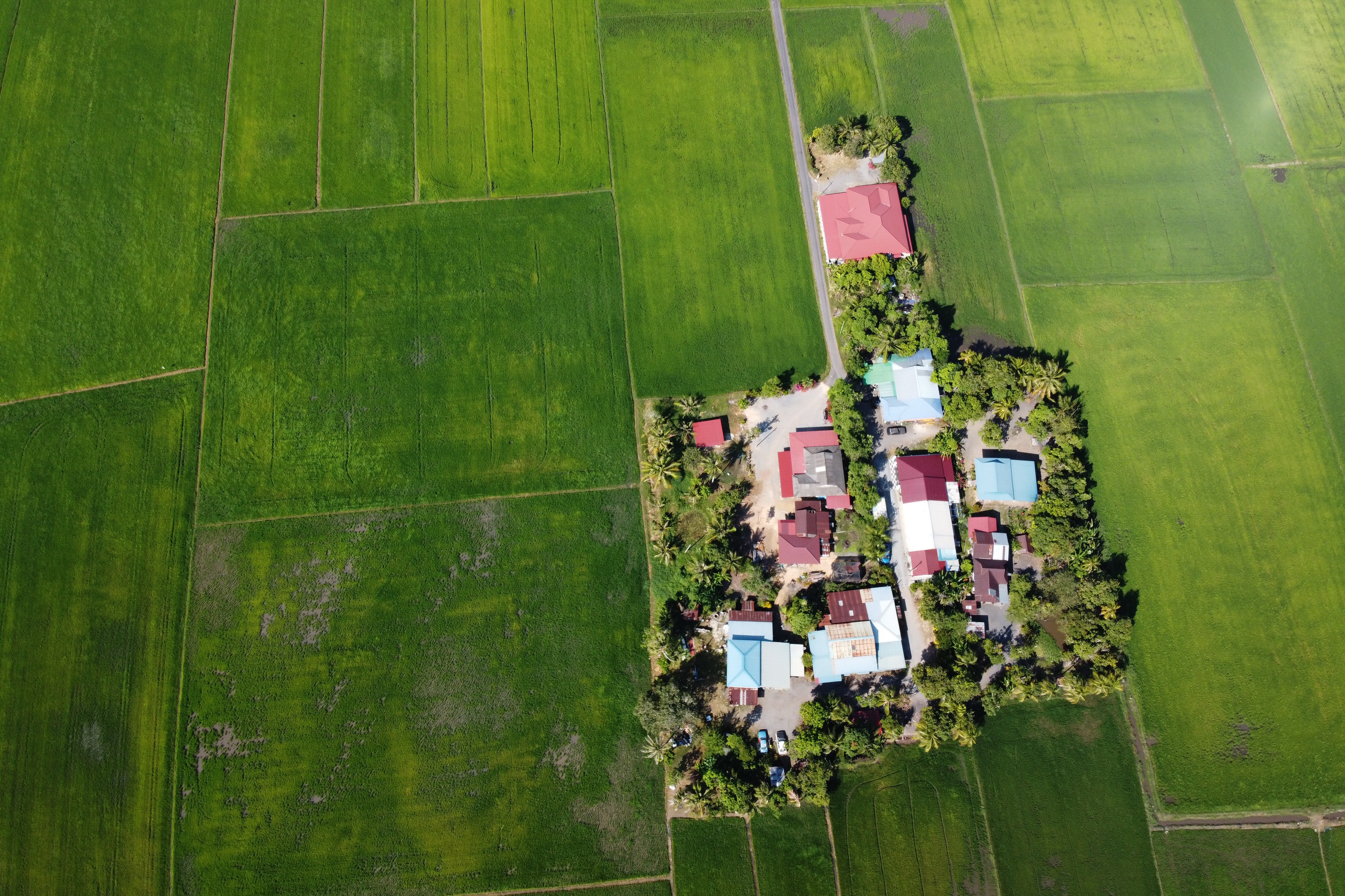
LAND ADMINISTRATION AND MAPPING
- Assessment of Urban Sprawl
- Cadastral Maps
- Construction Monitoring, Detection of Illegal Buildings
- Deeds management, property ownership, and valuation
- Land Use Mapping
- National Mapping
- New Infrastructure Planning, impact Assessment, and Extraction of Road Network
- Property tax revenue collection, valuation and land transactions
Read More →
DEFENSE
- Conflicts and Humanitarian Crisis
- Defense and Security
- Early Detection and Possible Prevention of Armed
- Monitoring of Regional Conflicts
- Predict Long-term Analysis of Emerging Threats
- Situational Awareness, Border Monitoring
Read More →
MOBILITY AND TRANSPORTATION
- Network Asset Management
- Traffic Impact Analysis
- Route Planning
Read More →
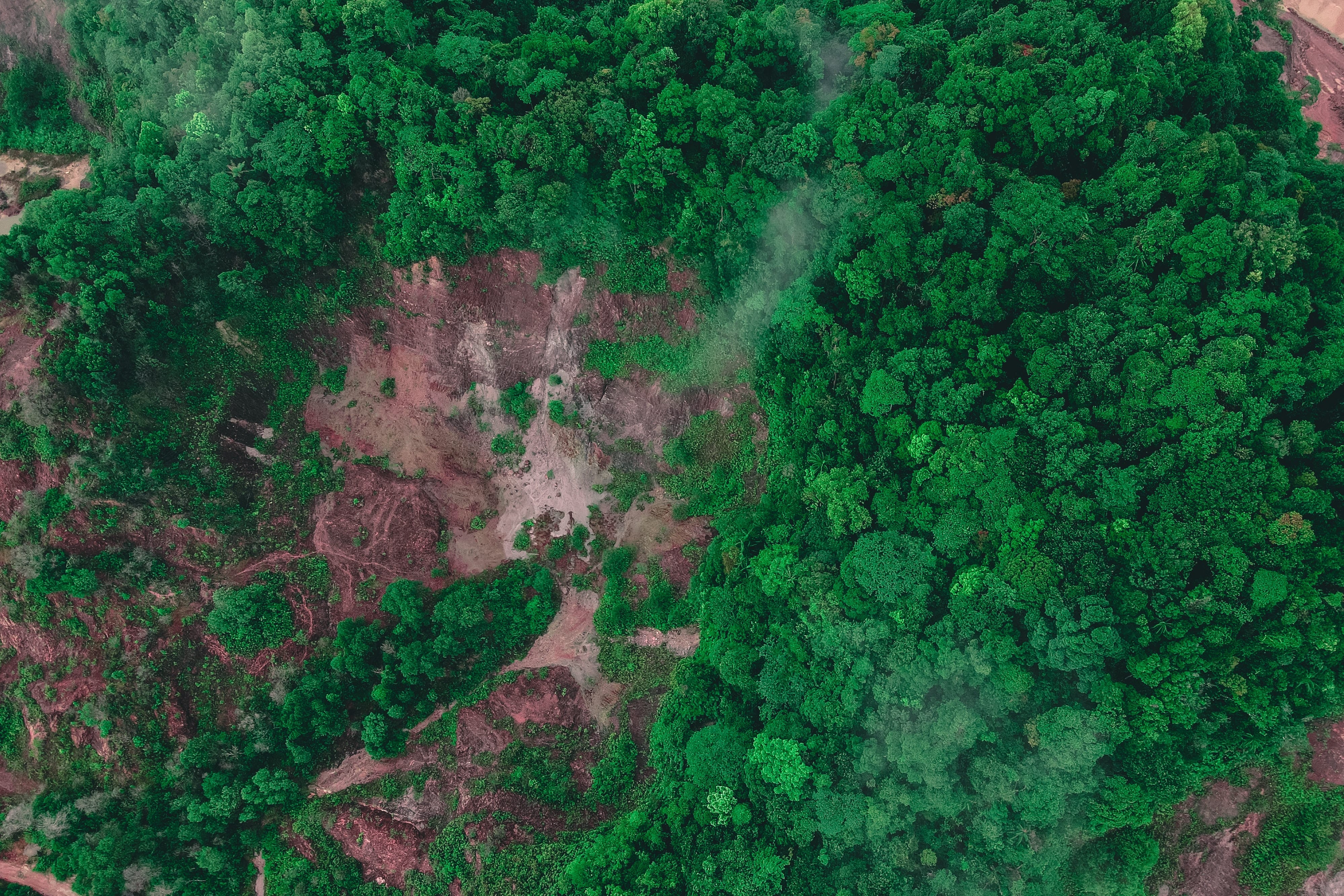
FORESTRY
- Change Detection at large scale
- Evaluation of Damages due to natural and man-made hazards
- Forest Management
- Mapping
- Perform cost-effective and accurate forest inventory, at national or local scales
- Policy Reinforcement
Read More →
AGRICULTURE
- Crop Development Monitoring
- Crop Yield Estimation
- Check where the forest has lost ground and farming lands
- Change Detection
- Crop Analytics
- Crop Development Monitoring
- Crop health
- Crop Yield Estimation
- Delineate Parcel Boundaries
- Mapping
- Track and Trace Tractors and Irrigation Assets
Read More →
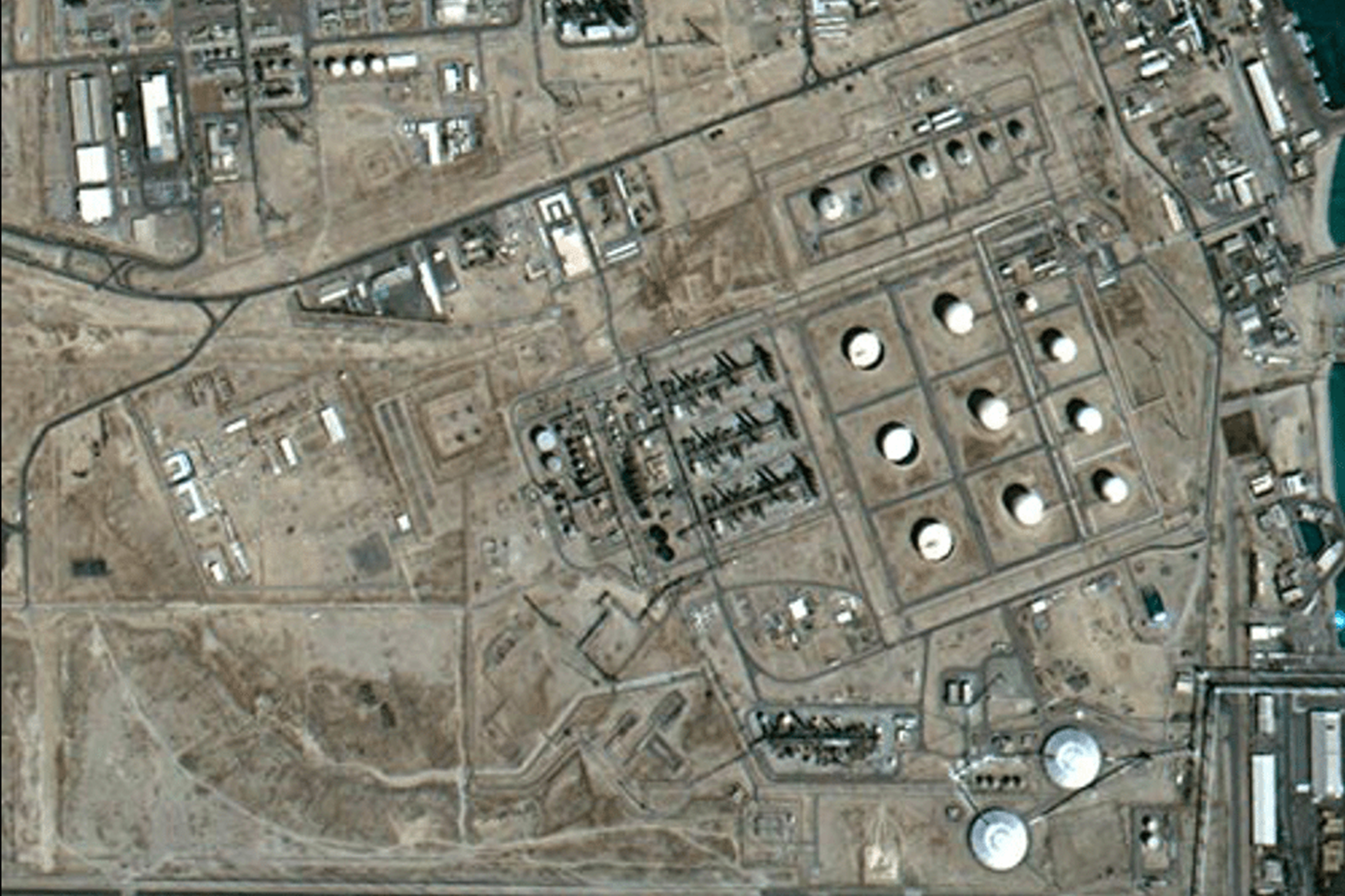
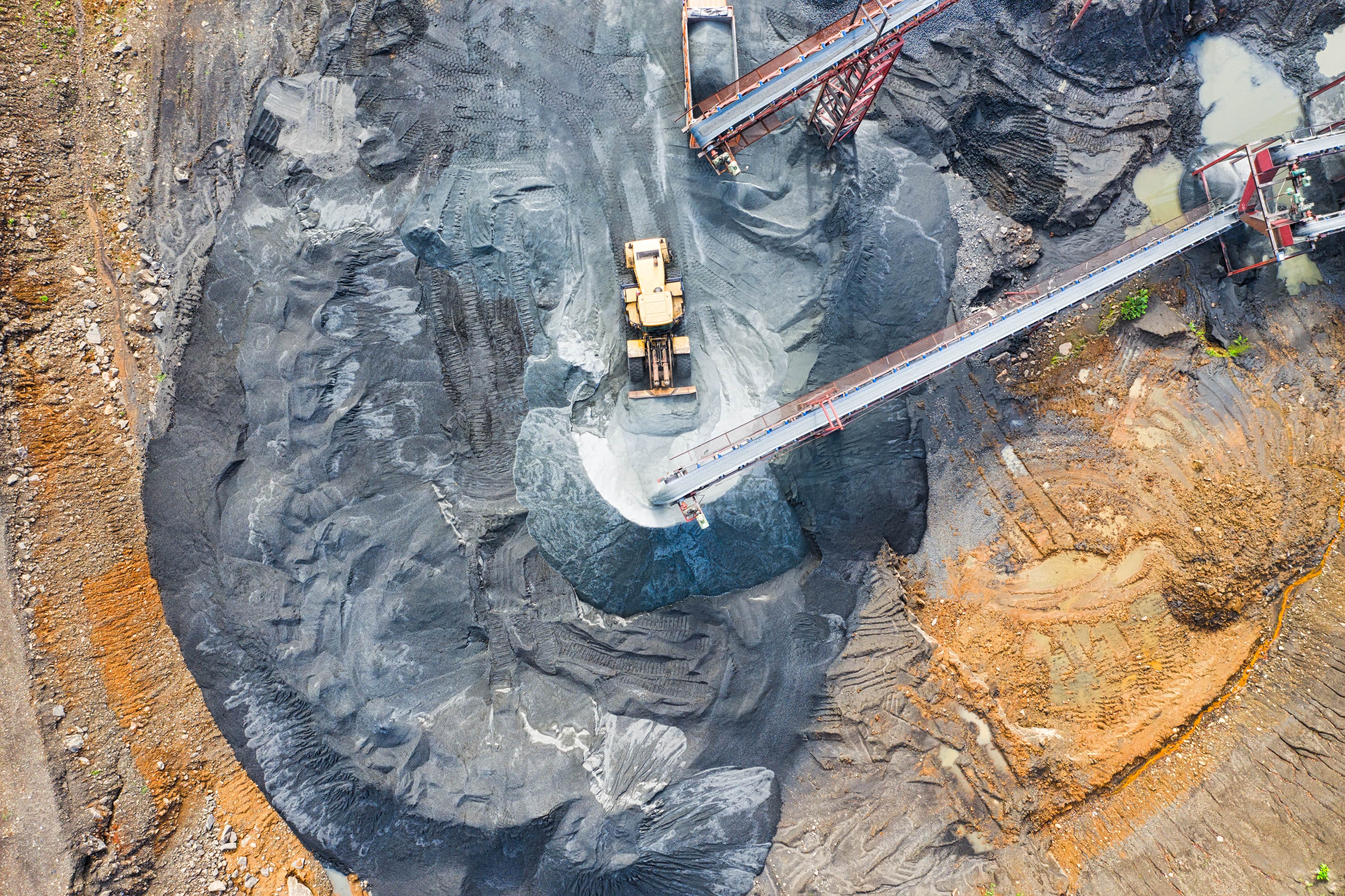
OIL, GAS, MINING, AND ENERGY
- Asset Management
- Environmental Monitoring
- Field Operations
- Geological studies
- Land Management
- Mapping
- Pipeline Monitoring
- Pipeline Routing
Read More →
AVIATION
- Aerodome Facility Management
- Aerodrome Surface Movement Guidance and Navigation
- Emergency Landing Site Location
- Surveillance, conflict detection, and alerting (e.g runway incursion)
- Terrain Awareness and Warning
Read More →
GOVERNMENT
- Disaster Management
- Public Safety
- Smart Census
- Smart City
- Smart Nations
- Transportation
Read More →
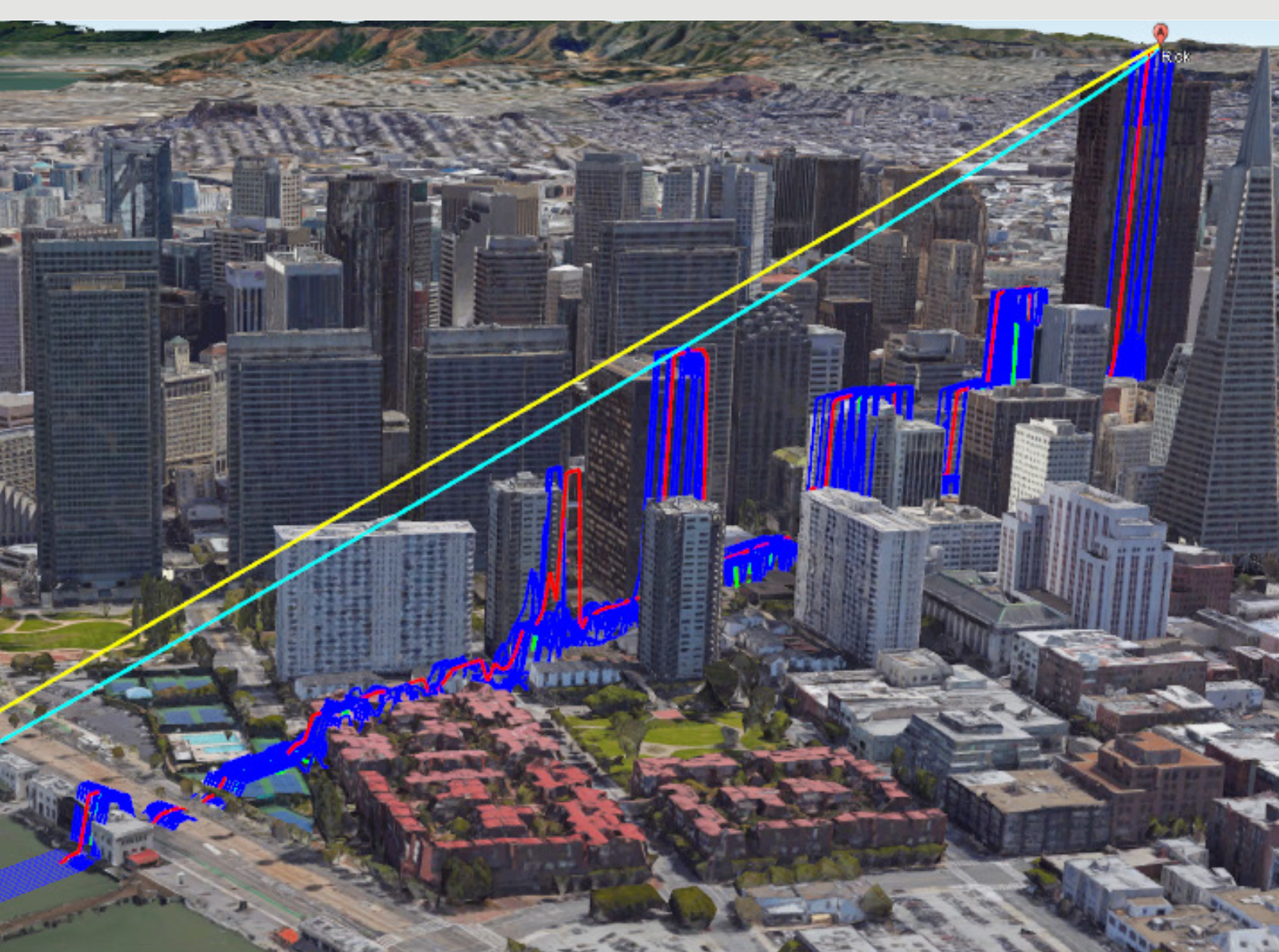
CIVIL ENGINEERING AND INFRASTRUCTURE
- Asset Management
- Environmental Engineering and Impact Studies
- Land Administration Services
- Site Analysis
- Terrain Mapping and Analysis
- Transportation
- Waste Water and Stormwater Mangement
- Watershed Analysis
Read More →
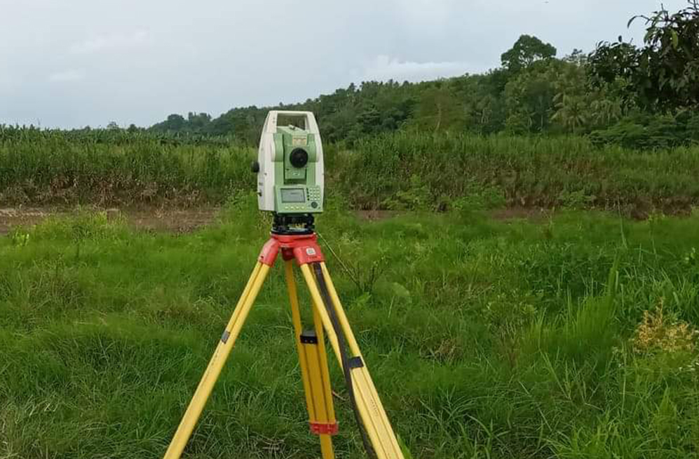
SURVEYING
- Data Management
- Infrastructure
- Reality Capture
Read More →
UTILITIES AND COMMUNICATION
- Link Profile Analysis
- Mapping
- Mass Link Profile
- Network Planning and analysis
- RF Viewshed
- Viewshed Analaysis
Read More →
EDUCATION PROGRAM
- Brilliant Remote Sensing Labs
- Campuswide Grant
- Contact Us for More Information
- Education Programs
- Luciad Education Program
- M.App Programs for Education
- Remote Sensing and GIS for Education Programs
- USGIF Partnership
- YouthMappers
Read More →