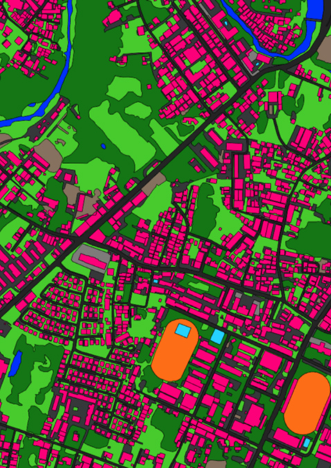
High Accuracy Map Extraction
OneAtlas turns imagery into accurate, detailed extractions of land use features with cartographic precision, anywhere on the planet.
Benefits
- Access reliable results with a 95%+ guaranteed accuracy
- Applicable at scale: city, region or countrywide
- Rely on up-to-date imagery using our fresh premium archive or tasking service
- Leverage our team of experts and partners for customer projects & industry-specific solutions
- Use only the classes you need
- Results delivered in ready-to-use-formats